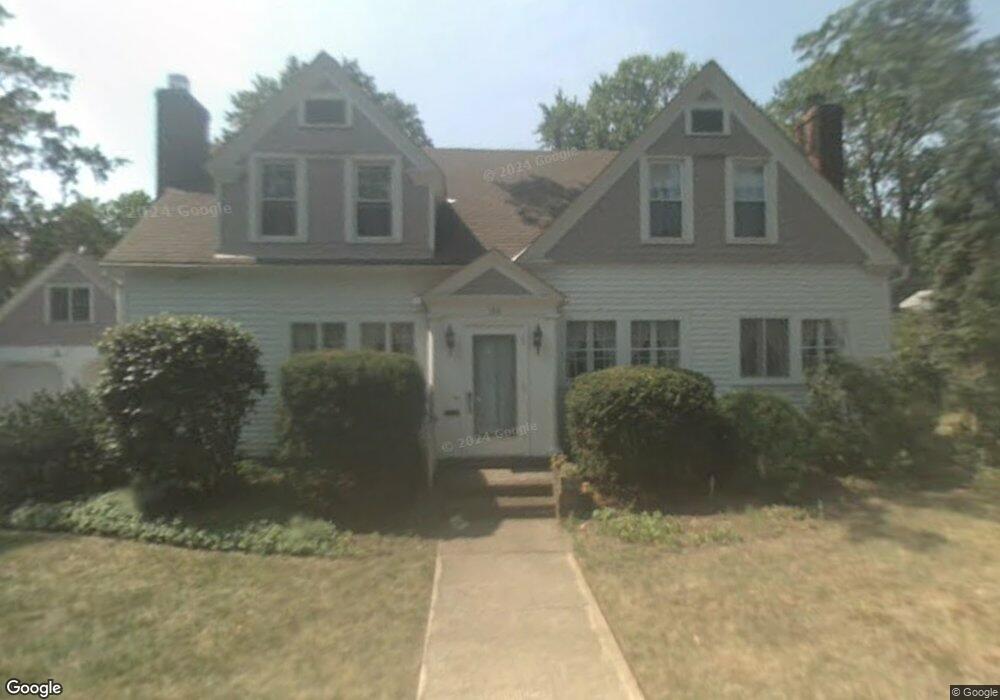
100 Luikart Dr Euclid, OH 44123
Estimated Value: $255,529 - $359,000
3
Beds
3
Baths
2,366
Sq Ft
$127/Sq Ft
Est. Value
About This Home
This home is located at 100 Luikart Dr, Euclid, OH 44123 and is currently estimated at $300,632, approximately $127 per square foot. 100 Luikart Dr is a home located in Cuyahoga County with nearby schools including Bluestone Elementary School, Euclid High School, and Ss. Robert & William Catholic School.
Ownership History
Date
Name
Owned For
Owner Type
Purchase Details
Closed on
Mar 10, 2001
Sold by
Shulson Betty C and Shulson Elizabeth G
Bought by
Greiner Charles N and Greiner Jacquelyn G
Current Estimated Value
Home Financials for this Owner
Home Financials are based on the most recent Mortgage that was taken out on this home.
Original Mortgage
$153,600
Outstanding Balance
$56,390
Interest Rate
7.13%
Estimated Equity
$244,242
Purchase Details
Closed on
May 14, 1997
Sold by
Gerald Carlisle Trst
Bought by
Shulson Betty C
Purchase Details
Closed on
May 6, 1993
Sold by
Shulson Marion L
Bought by
Shulson Earl T Trustee
Purchase Details
Closed on
Jan 1, 1975
Bought by
Shulson Marion L
Create a Home Valuation Report for This Property
The Home Valuation Report is an in-depth analysis detailing your home's value as well as a comparison with similar homes in the area
Home Values in the Area
Average Home Value in this Area
Purchase History
| Date | Buyer | Sale Price | Title Company |
|---|---|---|---|
| Greiner Charles N | $192,000 | Ohio Title Corp | |
| Shulson Betty C | $155,000 | -- | |
| Shulson Earl T Trustee | -- | -- | |
| Shulson Marion L | -- | -- |
Source: Public Records
Mortgage History
| Date | Status | Borrower | Loan Amount |
|---|---|---|---|
| Open | Greiner Charles N | $153,600 |
Source: Public Records
Tax History Compared to Growth
Tax History
| Year | Tax Paid | Tax Assessment Tax Assessment Total Assessment is a certain percentage of the fair market value that is determined by local assessors to be the total taxable value of land and additions on the property. | Land | Improvement |
|---|---|---|---|---|
| 2024 | $5,458 | $80,640 | $16,205 | $64,435 |
| 2023 | $5,089 | $60,060 | $13,370 | $46,690 |
| 2022 | $4,971 | $60,060 | $13,370 | $46,690 |
| 2021 | $5,555 | $60,060 | $13,370 | $46,690 |
| 2020 | $5,637 | $55,620 | $12,390 | $43,230 |
| 2019 | $5,079 | $158,900 | $35,400 | $123,500 |
| 2018 | $5,127 | $55,620 | $12,390 | $43,230 |
| 2017 | $5,266 | $47,640 | $10,570 | $37,070 |
| 2016 | $5,278 | $47,640 | $10,570 | $37,070 |
| 2015 | $4,795 | $47,640 | $10,570 | $37,070 |
| 2014 | $4,795 | $47,640 | $10,570 | $37,070 |
Source: Public Records
Map
Nearby Homes
- 71 Luikart Dr
- 244 E 238th St
- 254 E 242nd St
- 303 E 235th St
- 310 E 243rd St
- 323 E 235th St
- 305 E 238th St
- 321 E 243rd St
- 315 E 232nd St
- 324 E 235th St
- 334 E 238th St
- 225 E 246th St
- 23337 Williams Ave
- 368 E 248th St
- 24850 Shoreview Ave
- 24891 Zeman Ave
- 253 E 250th St
- 251 E 250th St
- 24850 Zeman Ave
- 110 E 252nd St
- 90 Luikart Dr
- 111 Lake Edge Dr
- 101 Lake Edge Dr
- 101 Luikart Dr
- 91 Luikart Dr
- 111 Luikart Dr
- 120 Luikart Dr
- 80 Luikart Dr
- 121 Lake Edge Dr
- 91 Lake Edge Dr
- 121 Luikart Dr
- 130 Luikart Dr
- 23701 Lake Shore Blvd
- 110 Lake Edge Dr
- 100 Lake Edge Dr
- 131 Lake Edge Dr
- 81 Lake Edge Dr
- 131 Luikart Dr
- 120 Lake Edge Dr
- 90 Lake Edge Dr