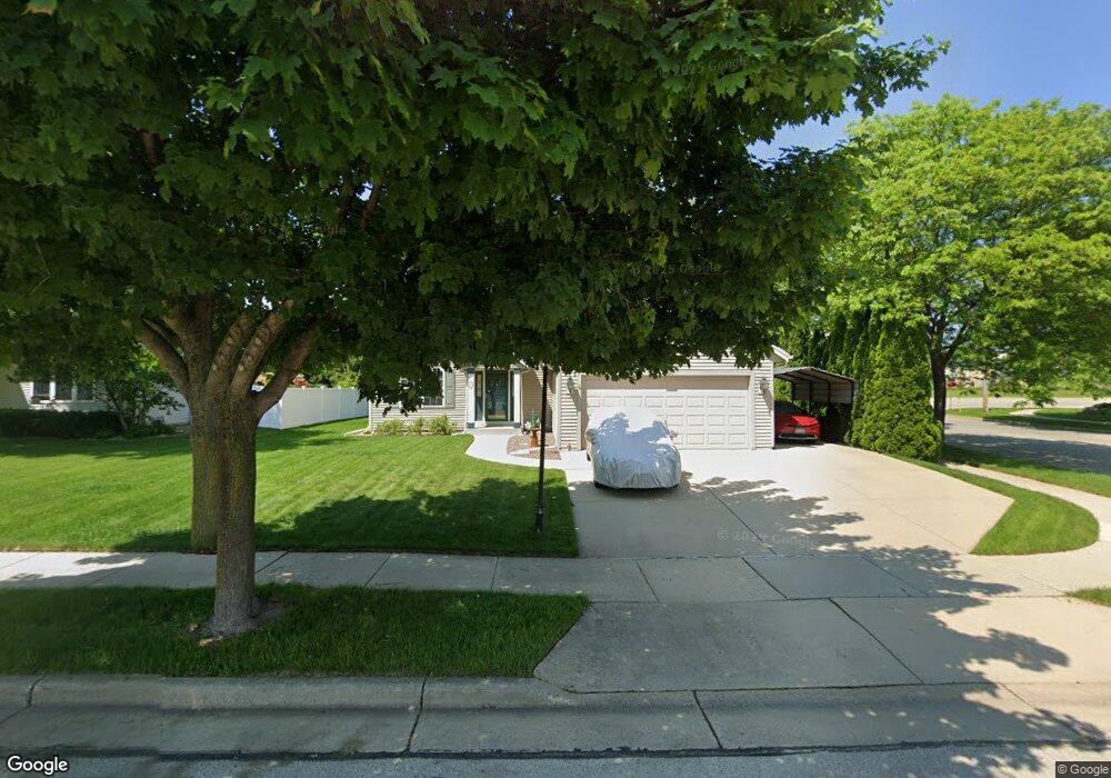
100 Stonebrook Dr Waukesha, WI 53186
Estimated Value: $431,000 - $473,000
3
Beds
3
Baths
1,572
Sq Ft
$283/Sq Ft
Est. Value
About This Home
This home is located at 100 Stonebrook Dr, Waukesha, WI 53186 and is currently estimated at $445,365, approximately $283 per square foot. 100 Stonebrook Dr is a home located in Waukesha County with nearby schools including Hillcrest Elementary School, Horning Middle School, and South High School.
Ownership History
Date
Name
Owned For
Owner Type
Purchase Details
Closed on
May 28, 1997
Sold by
Bielinski Development Inc
Bought by
Feldman Peter W and Feldman Shirley L
Current Estimated Value
Home Financials for this Owner
Home Financials are based on the most recent Mortgage that was taken out on this home.
Original Mortgage
$117,300
Outstanding Balance
$14,847
Interest Rate
6.62%
Estimated Equity
$430,518
Create a Home Valuation Report for This Property
The Home Valuation Report is an in-depth analysis detailing your home's value as well as a comparison with similar homes in the area
Home Values in the Area
Average Home Value in this Area
Purchase History
| Date | Buyer | Sale Price | Title Company |
|---|---|---|---|
| Feldman Peter W | $32,900 | -- |
Source: Public Records
Mortgage History
| Date | Status | Borrower | Loan Amount |
|---|---|---|---|
| Open | Feldman Peter W | $117,300 |
Source: Public Records
Tax History Compared to Growth
Tax History
| Year | Tax Paid | Tax Assessment Tax Assessment Total Assessment is a certain percentage of the fair market value that is determined by local assessors to be the total taxable value of land and additions on the property. | Land | Improvement |
|---|---|---|---|---|
| 2024 | $4,694 | $317,100 | $74,300 | $242,800 |
| 2023 | $4,563 | $317,100 | $74,300 | $242,800 |
| 2022 | $5,372 | $278,500 | $76,100 | $202,400 |
| 2021 | $5,504 | $278,500 | $76,100 | $202,400 |
| 2020 | $5,310 | $278,500 | $76,100 | $202,400 |
| 2019 | $5,149 | $278,500 | $76,100 | $202,400 |
| 2018 | $4,723 | $250,900 | $64,000 | $186,900 |
| 2017 | $4,706 | $250,900 | $64,000 | $186,900 |
| 2016 | $4,600 | $230,200 | $60,900 | $169,300 |
| 2015 | $4,571 | $230,200 | $60,900 | $169,300 |
| 2014 | $4,489 | $217,200 | $60,900 | $156,300 |
| 2013 | $4,489 | $217,200 | $60,900 | $156,300 |
Source: Public Records
Map
Nearby Homes
- 309 Stonebrook Dr
- 2119 E Broadway Unit C
- 2109 E Broadway Unit D
- 2029 Wildberry Ct
- 310 Sheffield Rd Unit 2
- 1393 Harris Dr
- S17W22650 Lincoln Ave
- W230S2425 Morningside Dr
- 1535 E Racine Ave
- 1825 E Racine Ave Unit 5
- S21W23079 Hillside Dr
- 1343 Hillside Dr
- 1422 E Racine Ave
- 2221 Inverness Dr S
- 2110 Springbrook S
- 403 Midland Ave
- 1623 Square Cir
- 1037 Windsor Dr
- 926 E Broadway
- 231 S Greenfield Ave
- 104 Stonebrook Dr
- 108 Stonebrook Dr
- 101 Rempe Dr
- 105 Rempe Dr
- 101 Stonebrook Dr
- 105 Stonebrook Dr
- 112 Stonebrook Dr
- 201 Rempe Dr
- 111 Stonebrook Dr
- 117 Stonebrook Dr
- 116 Stonebrook Dr
- 2004 Stonehaven Ct
- 205 Rempe Dr
- 201 Stonebrook Dr
- 1918 Springview Ct
- 2008 Stonehaven Ct
- 105 Woodlark Ct
- 101 Woodlark Ct
- 106 Woodlark Ct
- 100 Woodlark Ct