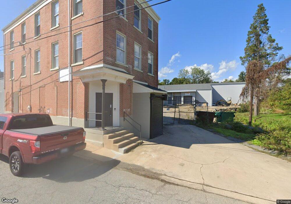
1001 Greenbank Rd Wilmington, DE 19808
Estimated Value: $1,395,548
--
Bed
--
Bath
28,930
Sq Ft
$48/Sq Ft
Est. Value
About This Home
This home is located at 1001 Greenbank Rd, Wilmington, DE 19808 and is currently estimated at $1,395,548, approximately $48 per square foot. 1001 Greenbank Rd is a home located in New Castle County with nearby schools including Anna P. Mote Elementary School, Stanton Middle School, and Thomas McKean High School.
Ownership History
Date
Name
Owned For
Owner Type
Purchase Details
Closed on
Oct 10, 2022
Sold by
Eckstrand Cynthia D
Bought by
Collier Greenbank Llc
Current Estimated Value
Home Financials for this Owner
Home Financials are based on the most recent Mortgage that was taken out on this home.
Original Mortgage
$1,424,724
Interest Rate
6.15%
Mortgage Type
Construction
Purchase Details
Closed on
Jun 25, 2007
Sold by
Megarents Inc
Bought by
Eckstrand Philip F
Home Financials for this Owner
Home Financials are based on the most recent Mortgage that was taken out on this home.
Original Mortgage
$503,250
Interest Rate
6.24%
Mortgage Type
Commercial
Create a Home Valuation Report for This Property
The Home Valuation Report is an in-depth analysis detailing your home's value as well as a comparison with similar homes in the area
Home Values in the Area
Average Home Value in this Area
Purchase History
| Date | Buyer | Sale Price | Title Company |
|---|---|---|---|
| Collier Greenbank Llc | -- | -- | |
| Eckstrand Philip F | -- | First American Title Ins Co |
Source: Public Records
Mortgage History
| Date | Status | Borrower | Loan Amount |
|---|---|---|---|
| Previous Owner | Collier Greenbank Llc | $1,424,724 | |
| Previous Owner | Eckstrand Philip F | $503,250 |
Source: Public Records
Tax History Compared to Growth
Tax History
| Year | Tax Paid | Tax Assessment Tax Assessment Total Assessment is a certain percentage of the fair market value that is determined by local assessors to be the total taxable value of land and additions on the property. | Land | Improvement |
|---|---|---|---|---|
| 2024 | $4,563 | $120,300 | $39,200 | $81,100 |
| 2023 | $4,088 | $120,300 | $39,200 | $81,100 |
| 2022 | $4,065 | $120,300 | $39,200 | $81,100 |
| 2021 | $4,063 | $120,300 | $39,200 | $81,100 |
| 2020 | $4,074 | $120,300 | $39,200 | $81,100 |
| 2019 | $4,063 | $120,300 | $39,200 | $81,100 |
| 2018 | $3,990 | $120,300 | $39,200 | $81,100 |
| 2017 | $3,943 | $120,300 | $39,200 | $81,100 |
| 2016 | $3,763 | $120,300 | $39,200 | $81,100 |
| 2015 | $3,529 | $120,300 | $39,200 | $81,100 |
| 2014 | $3,274 | $120,300 | $39,200 | $81,100 |
Source: Public Records
Map
Nearby Homes
- 13 Center Cir
- 3810 Katherine Ave
- 3423 Clayton Ave
- 5 Overlook Ave
- 3704 Evelyn Dr
- 3419 LOT 3 Old Capitol Trail
- 3419 LOT 2 Old Capitol Trail
- 3419 LOT 4 Old Capitol Trail
- 3838 Eunice Ave
- 3841 Katherine Ave
- 2206 Downing Ln
- 0 Kiamensi Rd
- 2422 W Parris Dr
- 2608 Newport Gap Pike
- 2410 Hammond Place
- 908 Bradley Dr
- 603 Milltown Rd
- 1217 Newport Gap Pike
- 4517 Sharon Dr
- 2322 Norris St
- 2006 Duncan Rd
- 1006 Greenbank Rd
- 2006 Jackson Ave
- 2021 Jackson Ave Unit 2
- 1100 Greenbank Rd
- 2018 Jackson Ave
- 1102 Greenbank Rd
- 1104 Greenbank Rd
- 2152 Melson Rd Unit A6
- 2152 Melson Rd Unit A3
- 2020 Jackson Ave
- 1106 Greenbank Rd
- 2150-2152 Melson Rd
- 2150 Melson Rd Unit B22
- 2150 Melson Rd Unit B15
- 2150 Melson Rd Unit B21
- 2150 Melson Rd Unit B20
- 2150 Melson Rd Unit B14
- 2150 Melson Rd
- 1305 New St