1001 Wolvarine Mine Rd Glencoe, CA 95232
Estimated Value: $397,000 - $745,092
2
Beds
2
Baths
1,360
Sq Ft
$420/Sq Ft
Est. Value
About This Home
This home is located at 1001 Wolvarine Mine Rd, Glencoe, CA 95232 and is currently estimated at $571,046, approximately $419 per square foot. 1001 Wolvarine Mine Rd is a home located in Calaveras County with nearby schools including Pioneer Magnet School for the Visual & Performing Arts, Jackson Junior High School, and Amador High School.
Ownership History
Date
Name
Owned For
Owner Type
Purchase Details
Closed on
Nov 20, 2007
Sold by
Bowie Viola M
Bought by
Frederick Steven T and Frederick Lynda L Lair
Current Estimated Value
Home Financials for this Owner
Home Financials are based on the most recent Mortgage that was taken out on this home.
Original Mortgage
$348,000
Outstanding Balance
$220,183
Interest Rate
6.38%
Mortgage Type
Unknown
Estimated Equity
$350,863
Create a Home Valuation Report for This Property
The Home Valuation Report is an in-depth analysis detailing your home's value as well as a comparison with similar homes in the area
Home Values in the Area
Average Home Value in this Area
Purchase History
| Date | Buyer | Sale Price | Title Company |
|---|---|---|---|
| Frederick Steven T | $435,000 | Placer Title Company |
Source: Public Records
Mortgage History
| Date | Status | Borrower | Loan Amount |
|---|---|---|---|
| Open | Frederick Steven T | $348,000 |
Source: Public Records
Tax History Compared to Growth
Tax History
| Year | Tax Paid | Tax Assessment Tax Assessment Total Assessment is a certain percentage of the fair market value that is determined by local assessors to be the total taxable value of land and additions on the property. | Land | Improvement |
|---|---|---|---|---|
| 2025 | $4,421 | $372,000 | $140,000 | $232,000 |
| 2023 | $4,037 | $337,000 | $140,000 | $197,000 |
| 2022 | $3,984 | $330,000 | $140,000 | $190,000 |
| 2021 | $3,230 | $282,000 | $120,000 | $162,000 |
| 2020 | $3,066 | $259,000 | $100,000 | $159,000 |
| 2019 | $3,180 | $255,000 | $100,000 | $155,000 |
| 2018 | $2,605 | $211,000 | $100,000 | $111,000 |
| 2017 | $2,419 | $195,000 | $100,000 | $95,000 |
| 2016 | $2,116 | $165,000 | $50,000 | $115,000 |
| 2015 | -- | $165,000 | $50,000 | $115,000 |
| 2014 | -- | $158,000 | $50,000 | $108,000 |
Source: Public Records
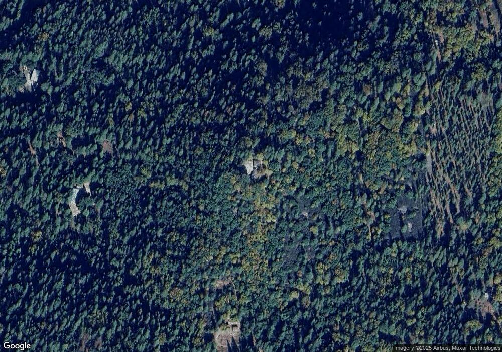
Map
Nearby Homes
- 17533 Humbug Creek Rd
- 2863 April Ln
- 3179 Independence Rd
- 2660 Independence Rd
- 121 Rabbit's Foot Rd
- 4744 Independence Rd
- 2563 Woodhouse Mine Rd
- 148 Sandy Gulch Ln
- 402 Rabbit's Foot Rd
- 4875 Independence Rd
- 146 3 Cent Flat Rd
- 2996 Liberty Hill Rd
- 3830 Dogwood Pass Rd
- 2367 Woodhouse Mine Rd
- 0 Ridge Rd Unit Parcel B 202400338
- 0 Ridge Rd Unit Parcel A 202400337
- Parcel B Ridge Rd
- Parcel A Ridge Rd
- 211 Fox Rd
- 20848 State Route 26
- 1001 Wolverine Mine Rd
- 17566 State Route 26
- 725 Wolverine Mine Rd
- 17535 Humbug Rd
- 17535 Humbug Creek Rd
- 17586 Highway 26
- 780 Wolvarine Mine Rd
- 17535 Humbug Creek Rd
- 17534 Humbug Rd
- 17534 Humbug Creek Rd Unit 21
- 17534 Humbug Creek Rd
- 17706 State Route 26
- 17706 Highway 26
- 665 Deardorff Rd
- 725 Wolverine Mine Rd
- 17705 Highway 26
- 18168 Highway 26
- 694 Deardorff Rd Unit 684
- 52.2 ACS Deardorff Rd
- 694 Deardorff Rd