10017 Highway 614 Unit DRO Moss Point, MS 39562
Estimated Value: $230,000 - $310,000
--
Bed
2
Baths
1,960
Sq Ft
$141/Sq Ft
Est. Value
About This Home
This home is located at 10017 Highway 614 Unit DRO, Moss Point, MS 39562 and is currently estimated at $276,491, approximately $141 per square foot. 10017 Highway 614 Unit DRO is a home located in Jackson County with nearby schools including East Central Lower Elementary School, East Central Upper Elementary School, and East Central Middle School.
Ownership History
Date
Name
Owned For
Owner Type
Purchase Details
Closed on
Sep 5, 2019
Sold by
Porter Benny R and Porter Patricia E
Bought by
Atchison-Whittington C and Whittington Ramsey
Current Estimated Value
Home Financials for this Owner
Home Financials are based on the most recent Mortgage that was taken out on this home.
Original Mortgage
$188,700
Outstanding Balance
$165,287
Interest Rate
3.6%
Mortgage Type
New Conventional
Estimated Equity
$111,204
Create a Home Valuation Report for This Property
The Home Valuation Report is an in-depth analysis detailing your home's value as well as a comparison with similar homes in the area
Home Values in the Area
Average Home Value in this Area
Purchase History
| Date | Buyer | Sale Price | Title Company |
|---|---|---|---|
| Atchison-Whittington C | -- | -- |
Source: Public Records
Mortgage History
| Date | Status | Borrower | Loan Amount |
|---|---|---|---|
| Open | Atchison-Whittington C | $188,700 |
Source: Public Records
Tax History Compared to Growth
Tax History
| Year | Tax Paid | Tax Assessment Tax Assessment Total Assessment is a certain percentage of the fair market value that is determined by local assessors to be the total taxable value of land and additions on the property. | Land | Improvement |
|---|---|---|---|---|
| 2024 | $1,979 | $18,983 | $3,092 | $15,891 |
| 2023 | $1,979 | $18,983 | $3,092 | $15,891 |
| 2022 | $1,669 | $16,885 | $3,092 | $13,793 |
| 2021 | $1,670 | $16,901 | $3,092 | $13,809 |
| 2020 | $1,619 | $15,884 | $2,863 | $13,021 |
| 2019 | $760 | $13,860 | $937 | $12,923 |
| 2018 | $775 | $13,864 | $941 | $12,923 |
| 2017 | $771 | $13,725 | $944 | $12,781 |
| 2016 | $739 | $13,716 | $935 | $12,781 |
| 2015 | $621 | $126,540 | $8,900 | $117,640 |
| 2014 | $658 | $13,102 | $943 | $12,159 |
| 2013 | $701 | $13,679 | $933 | $12,746 |
Source: Public Records
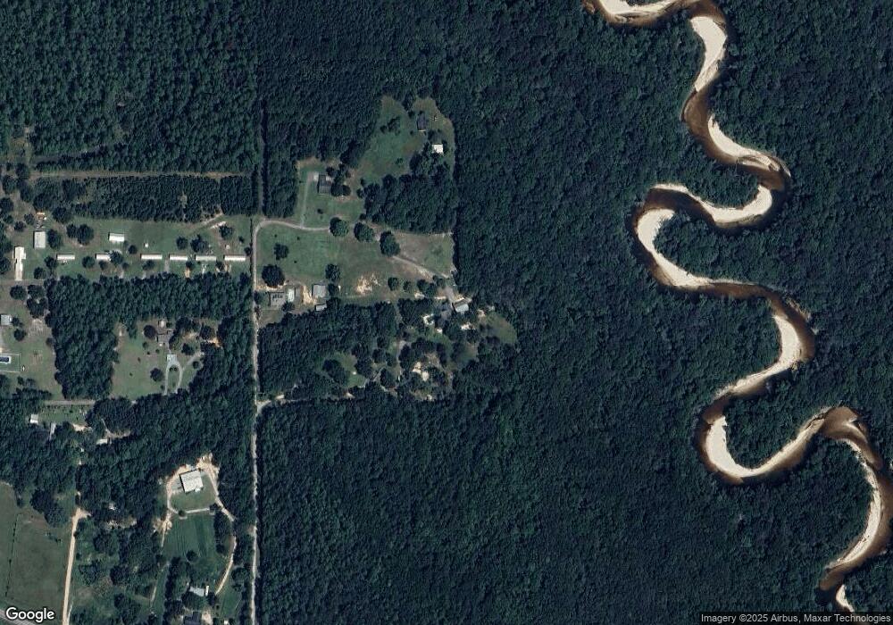
Map
Nearby Homes
- 11925 Roberts Chapel Rd
- 0 Eli Dudley Rd Unit 4133957
- 2966 Harmon Williams Rd
- 15250 Deer Run Dr S
- 7805 Songbird Ln
- 0 Dap Rd E
- 8012 Coleman Homestead Rd
- 01 Dap Rd E
- 17920 Rayford Shumock Rd
- 0 Rayford Shumock Rd Unit 24406728
- 0 Rayford Shumock Rd Unit 4121875
- -0- Rayford Shumock Rd
- 8200 Butler Rd
- 17500 Goff Farm Rd
- 0 Mississippi 614
- 14201 Airport Blvd
- 27 Acres Brinkman Rd E
- 21217 E Trails End Rd
- 0 R B Dickerson Rd
- 22817 Alamosa Dr
- 10025 Highway 614 Unit DRO
- 10021 Highway 614 Unit DRO
- 9937 Highway 614
- 9933 Highway 614
- 9913 Highway 614
- 20020 Otis Cooper Rd
- 20412 Otis Cooper Rd
- 20100 Otis Cooper Rd
- 19900 Otis Cooper Rd
- 9998 Highway 614
- 19929 Otis Cooper Rd
- 19600 Holder Rd
- 9909 Frank Snell Rd
- 19901 Otis Cooper Rd
- 20220 Otis Cooper Rd
- 0 Frank Snell Rd Unit 4108021
- 0 Frank Snell Rd Unit 3255481
- 0 Frank Snell Rd Unit 3302059
- 0 Frank Snell Rd Unit 3320132
- Nhn Hwy 614