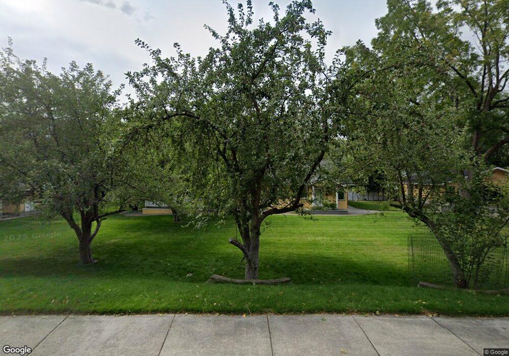
1003 Laurel Ln Missoula, MT 59802
Lower Rattlesnake NeighborhoodEstimated Value: $754,000 - $861,000
4
Beds
2
Baths
2,232
Sq Ft
$355/Sq Ft
Est. Value
About This Home
This home is located at 1003 Laurel Ln, Missoula, MT 59802 and is currently estimated at $792,130, approximately $354 per square foot. 1003 Laurel Ln is a home located in Missoula County with nearby schools including Rattlesnake Elementary School, Washington Middle School, and Hellgate High School.
Ownership History
Date
Name
Owned For
Owner Type
Purchase Details
Closed on
Dec 28, 2021
Sold by
Carolle Keller Rosemary
Bought by
Keller Rosemary Carollo and Keller Andrew Joseph
Current Estimated Value
Create a Home Valuation Report for This Property
The Home Valuation Report is an in-depth analysis detailing your home's value as well as a comparison with similar homes in the area
Home Values in the Area
Average Home Value in this Area
Purchase History
| Date | Buyer | Sale Price | Title Company |
|---|---|---|---|
| Keller Rosemary Carollo | -- | None Listed On Document |
Source: Public Records
Tax History Compared to Growth
Tax History
| Year | Tax Paid | Tax Assessment Tax Assessment Total Assessment is a certain percentage of the fair market value that is determined by local assessors to be the total taxable value of land and additions on the property. | Land | Improvement |
|---|---|---|---|---|
| 2025 | $6,752 | $801,700 | $456,482 | $345,218 |
| 2024 | $6,437 | $529,000 | $243,221 | $285,779 |
| 2023 | $6,247 | $529,000 | $243,221 | $285,779 |
| 2022 | $5,355 | $392,900 | $0 | $0 |
| 2021 | $4,773 | $392,900 | $0 | $0 |
| 2020 | $5,025 | $380,800 | $0 | $0 |
| 2019 | $5,009 | $380,800 | $0 | $0 |
| 2018 | $5,025 | $371,600 | $0 | $0 |
| 2017 | $4,452 | $371,600 | $0 | $0 |
| 2016 | $4,006 | $314,000 | $0 | $0 |
| 2015 | $3,708 | $314,000 | $0 | $0 |
| 2014 | $3,321 | $158,152 | $0 | $0 |
Source: Public Records
Map
Nearby Homes
- 2215 Raymond Ave
- 1227 Basecamp Dr Unit A
- 1250 Basecamp Dr Unit C
- 1250 Basecamp Dr Unit F
- 2411 Raymond Ave
- 2201 Greenough Ct W
- 2606 Sycamore St
- 1300 Dickinson St
- 521 Arbor Dr
- 1811 Elison Ln
- 1132 Jackson St
- 1306 Lily Ct
- 838 Locust St
- 1625 Sunflower Dr
- 1655 Sunflower Dr
- 45 Brookside Way
- 7 Brookside Way
- 1015 Poplar St
- 19 Columbine Rd
- 1116 Vine St
- 2120 Missoula Ave
- 2122 Missoula Ave
- 2114 Missoula Ave
- 2161 Raymond Ave
- 2120 Wylie Ave
- 2201 Wylie Ave
- 2110 Wylie Ave
- 2110 Missoula Ave
- 2206 Missoula Ave
- 2141 Raymond Ave
- 2131 Missoula Ave
- 2207 Wylie Ave
- 2121 Raymond Ave
- 2212 Missoula Ave
- 2201 Raymond Ave
- 2216 Raymond Ave
- 2209 Missoula Ave
- 2104 Rattlesnake Dr
- 2235 Wylie Ave
- 2020 Missoula Ave