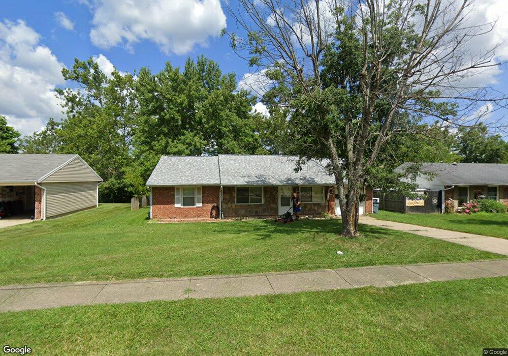
1004 Huffman Ct Cincinnati, OH 45231
Winton Lake NeighborhoodEstimated Value: $120,000 - $232,000
4
Beds
1
Bath
1,131
Sq Ft
$150/Sq Ft
Est. Value
About This Home
This home is located at 1004 Huffman Ct, Cincinnati, OH 45231 and is currently estimated at $169,341, approximately $149 per square foot. 1004 Huffman Ct is a home located in Hamilton County with nearby schools including Mt Healthy High School and John Paul II Catholic School.
Ownership History
Date
Name
Owned For
Owner Type
Purchase Details
Closed on
Jul 24, 2021
Sold by
Hall Douglas Ray and Estate Of Norman R Hall
Bought by
Hall Dale Matthew
Current Estimated Value
Home Financials for this Owner
Home Financials are based on the most recent Mortgage that was taken out on this home.
Original Mortgage
$79,000
Outstanding Balance
$71,212
Interest Rate
2.9%
Mortgage Type
New Conventional
Estimated Equity
$98,129
Purchase Details
Closed on
Aug 20, 1999
Sold by
Norman Hall and Norman Geraldine
Bought by
Hall Norman and Hall Geraldine
Create a Home Valuation Report for This Property
The Home Valuation Report is an in-depth analysis detailing your home's value as well as a comparison with similar homes in the area
Home Values in the Area
Average Home Value in this Area
Purchase History
| Date | Buyer | Sale Price | Title Company |
|---|---|---|---|
| Hall Dale Matthew | $90,000 | Parkway Title Llc | |
| Hall Norman | -- | -- |
Source: Public Records
Mortgage History
| Date | Status | Borrower | Loan Amount |
|---|---|---|---|
| Open | Hall Dale Matthew | $79,000 |
Source: Public Records
Tax History Compared to Growth
Tax History
| Year | Tax Paid | Tax Assessment Tax Assessment Total Assessment is a certain percentage of the fair market value that is determined by local assessors to be the total taxable value of land and additions on the property. | Land | Improvement |
|---|---|---|---|---|
| 2025 | $2,091 | $35,820 | $8,733 | $27,087 |
| 2023 | $1,968 | $35,820 | $8,733 | $27,087 |
| 2022 | $2,003 | $26,251 | $7,340 | $18,911 |
| 2021 | $1,282 | $26,251 | $7,340 | $18,911 |
| 2020 | $1,320 | $26,251 | $7,340 | $18,911 |
| 2019 | $1,086 | $22,247 | $6,220 | $16,027 |
| 2018 | $1,092 | $22,247 | $6,220 | $16,027 |
| 2017 | $1,027 | $22,247 | $6,220 | $16,027 |
| 2016 | $1,280 | $25,435 | $6,748 | $18,687 |
| 2015 | $1,302 | $25,435 | $6,748 | $18,687 |
| 2014 | $1,297 | $25,435 | $6,748 | $18,687 |
| 2013 | $1,232 | $24,934 | $6,615 | $18,319 |
Source: Public Records
Map
Nearby Homes
- 1037 Lost Crossing
- 8990 Mockingbird Ln
- 9367 Stoneybrooke Unit 10G
- 9411 Stoneybrooke
- 1123 Compton Rd
- 1101 Meadowind Ct
- 8491 Daly Rd
- 1190 Sugartree Ct
- 9315 Winton Rd
- 958 Hollytree Dr
- 1125 Murkett Ct
- 8693 Mockingbird Ln
- 9695 Fernbrook Ct
- 1052 Vacationland Dr
- 1116 Madeleine Cir
- 8663 Mockingbird Ln
- 8622 Mockingbird Ln
- 1315 Newport Dr
- 1015 Mckelvey Rd
- 694 Buff Ct
- 1008 Huffman Ct
- 1000 Huffman Ct
- 1016 Huffman Ct
- 1129 Huffman Ct Unit L
- 996 Huffman Ct
- 1012 Huffman Ct
- 992 Huffman Ct
- 1005 Huffman Ct
- 1001 Huffman Ct
- 1009 Huffman Ct
- 997 Huffman Ct
- 1013 Huffman Ct
- 1020 Huffman Ct
- 993 Huffman Ct
- 1017 Huffman Ct
- 987 Huffman Ct
- 1024 Huffman Ct
- 1021 Huffman Ct
- 984 Huffman Ct
- 973 Huffman Ct