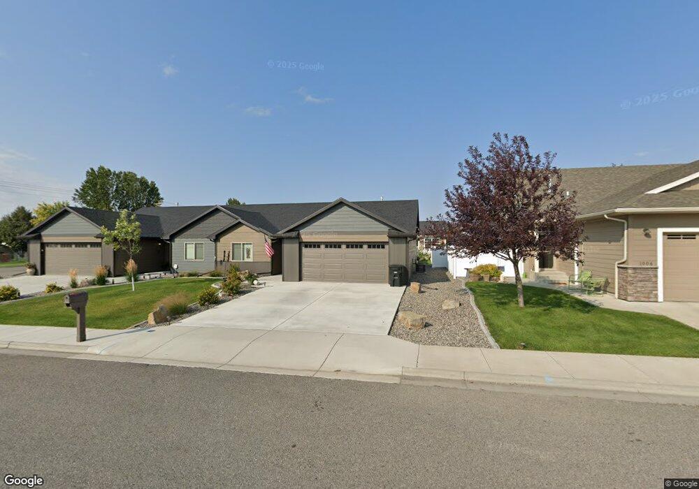
1004 Phil Cir Laurel, MT 59044
Estimated Value: $332,000 - $356,970
2
Beds
2
Baths
1,299
Sq Ft
$265/Sq Ft
Est. Value
About This Home
This home is located at 1004 Phil Cir, Laurel, MT 59044 and is currently estimated at $344,493, approximately $265 per square foot. 1004 Phil Cir is a home located in Yellowstone County with nearby schools including West School, Fred W. Graff School, and Laurel Middle School.
Create a Home Valuation Report for This Property
The Home Valuation Report is an in-depth analysis detailing your home's value as well as a comparison with similar homes in the area
Home Values in the Area
Average Home Value in this Area
Tax History
| Year | Tax Paid | Tax Assessment Tax Assessment Total Assessment is a certain percentage of the fair market value that is determined by local assessors to be the total taxable value of land and additions on the property. | Land | Improvement |
|---|---|---|---|---|
| 2025 | $2,634 | $313,500 | $17,485 | $296,015 |
| 2024 | $2,634 | $278,300 | $12,185 | $266,115 |
| 2023 | $2,420 | $278,300 | $12,185 | $266,115 |
| 2022 | $1,876 | $224,800 | $0 | $0 |
| 2021 | $2,080 | $224,800 | $0 | $0 |
| 2020 | $2,194 | $235,400 | $0 | $0 |
| 2019 | $2,149 | $235,400 | $0 | $0 |
| 2018 | $301 | $17,138 | $0 | $0 |
| 2017 | $431 | $17,138 | $0 | $0 |
| 2016 | $432 | $17,523 | $0 | $0 |
| 2015 | $430 | $17,523 | $0 | $0 |
| 2014 | $446 | $9,326 | $0 | $0 |
Source: Public Records
Map
Nearby Homes
- 1712 Paynes Place
- TBD Block 3 Lot 6
- 1014 Rochelle Ln
- 1013 W 12th St
- 1109 10th Ave
- 1216 W 12th Street Cir
- 1254 W Beartooth Dr
- 310 (and 814 w 4) 8th Ave
- 102 8th Ave Unit B
- 319 6th Ave
- 603 5th Ave
- 1735 Lobo Dr
- 116 4th Ave
- 1319 Valley Dr
- 1960 Coyote Ridge Rd N
- 208 West Ave
- 120 Forrest Ave
- 1631 Valley Dr
- 110 E 5th St
- 211 Woodland Ave
Your Personal Tour Guide
Ask me questions while you tour the home.