1005 Locust St Thomson, IL 61285
Estimated Value: $141,000 - $227,000
3
Beds
2
Baths
1,400
Sq Ft
$119/Sq Ft
Est. Value
About This Home
This home is located at 1005 Locust St, Thomson, IL 61285 and is currently estimated at $166,502, approximately $118 per square foot. 1005 Locust St is a home located in Carroll County.
Ownership History
Date
Name
Owned For
Owner Type
Purchase Details
Closed on
Aug 26, 2020
Sold by
Bruckner Lawrence L and Bruckner Luanne F
Bought by
Gengenbach Evan and Becktel Ariel
Current Estimated Value
Home Financials for this Owner
Home Financials are based on the most recent Mortgage that was taken out on this home.
Original Mortgage
$86,900
Outstanding Balance
$78,407
Interest Rate
2.9%
Mortgage Type
Construction
Estimated Equity
$88,095
Purchase Details
Closed on
Mar 4, 2013
Sold by
Lawrence Bruckner
Bought by
Bruckner Lawrence L and Bruckner Luanne F
Create a Home Valuation Report for This Property
The Home Valuation Report is an in-depth analysis detailing your home's value as well as a comparison with similar homes in the area
Home Values in the Area
Average Home Value in this Area
Purchase History
| Date | Buyer | Sale Price | Title Company |
|---|---|---|---|
| Gengenbach Evan | $89,000 | -- | |
| Bruckner Lawrence L | -- | -- |
Source: Public Records
Mortgage History
| Date | Status | Borrower | Loan Amount |
|---|---|---|---|
| Open | Gengenbach Evan | $86,900 |
Source: Public Records
Tax History Compared to Growth
Tax History
| Year | Tax Paid | Tax Assessment Tax Assessment Total Assessment is a certain percentage of the fair market value that is determined by local assessors to be the total taxable value of land and additions on the property. | Land | Improvement |
|---|---|---|---|---|
| 2024 | $2,330 | $37,852 | $4,390 | $33,462 |
| 2023 | $2,330 | $37,852 | $4,390 | $33,462 |
| 2022 | $1,584 | $22,801 | $3,920 | $18,881 |
| 2021 | $1,610 | $22,801 | $3,920 | $18,881 |
| 2020 | $1,617 | $22,801 | $3,920 | $18,881 |
| 2019 | $1,646 | $22,801 | $3,920 | $18,881 |
| 2018 | $1,706 | $23,288 | $3,920 | $19,368 |
| 2017 | $2,661 | $27,878 | $3,920 | $23,958 |
| 2016 | $3,218 | $38,697 | $3,920 | $34,777 |
| 2015 | $3,214 | $38,697 | $3,920 | $34,777 |
| 2014 | $2,942 | $39,109 | $4,116 | $34,993 |
| 2013 | $2,942 | $37,247 | $3,920 | $33,327 |
Source: Public Records
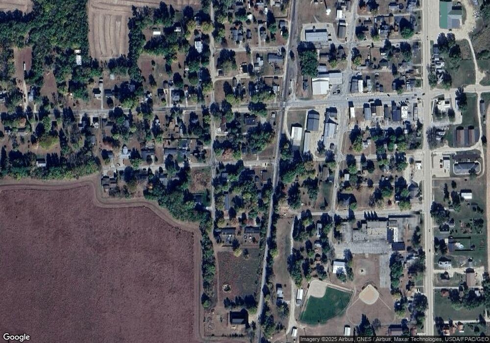
Map
Nearby Homes
- 2000 Illinois Route 84
- 113 Taylor Ln
- 14094 Three Mile Road Lot A
- 3638 Illinois Route 84
- 3638 Illinois Route 84
- 10525 Two Mile Rd
- 4976 Pheasant Dr
- 9120 Spring Valley Rd
- Lot 3 Squire Cir
- Lot 1 Squire Cir
- Lot 20 Squire Cir
- 5759 Riverview Rd
- 1650 468th Ave
- 886 Riverstone Ct
- 4610 8th St NW
- 7 Sharon Ln
- 3312 Garfield St
- 3525 Cleveland St
- 5574 Big Cut Rd
- TBD Big Cut Rd