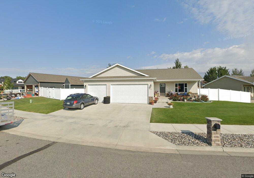
1006 Davis Cir Laurel, MT 59044
Estimated Value: $470,000 - $525,000
4
Beds
3
Baths
2,860
Sq Ft
$174/Sq Ft
Est. Value
About This Home
This home is located at 1006 Davis Cir, Laurel, MT 59044 and is currently estimated at $496,547, approximately $173 per square foot. 1006 Davis Cir is a home with nearby schools including West School, Fred W. Graff School, and Laurel Middle School.
Ownership History
Date
Name
Owned For
Owner Type
Purchase Details
Closed on
May 18, 2020
Sold by
Keas Seth J and Keas Catherine D
Bought by
Thompson Patrick J and Thompson Lana L
Current Estimated Value
Purchase Details
Closed on
Apr 7, 2016
Sold by
Amish Heritage Homes Inc
Bought by
Keas Seth J and Keas Catherine D
Home Financials for this Owner
Home Financials are based on the most recent Mortgage that was taken out on this home.
Original Mortgage
$265,905
Interest Rate
3.68%
Mortgage Type
New Conventional
Create a Home Valuation Report for This Property
The Home Valuation Report is an in-depth analysis detailing your home's value as well as a comparison with similar homes in the area
Home Values in the Area
Average Home Value in this Area
Purchase History
| Date | Buyer | Sale Price | Title Company |
|---|---|---|---|
| Thompson Patrick J | -- | Chicago Title | |
| Keas Seth J | -- | American Title & Escrow |
Source: Public Records
Mortgage History
| Date | Status | Borrower | Loan Amount |
|---|---|---|---|
| Previous Owner | Keas Seth J | $265,905 |
Source: Public Records
Tax History
| Year | Tax Paid | Tax Assessment Tax Assessment Total Assessment is a certain percentage of the fair market value that is determined by local assessors to be the total taxable value of land and additions on the property. | Land | Improvement |
|---|---|---|---|---|
| 2025 | $2,147 | $481,600 | $74,958 | $406,642 |
| 2024 | $2,147 | $388,800 | $68,727 | $320,073 |
| 2023 | $3,365 | $388,800 | $68,727 | $320,073 |
| 2022 | $3,086 | $340,900 | $0 | $0 |
| 2021 | $3,114 | $340,900 | $0 | $0 |
| 2020 | $2,959 | $318,100 | $0 | $0 |
| 2019 | $2,896 | $318,100 | $0 | $0 |
| 2018 | $3,003 | $305,800 | $0 | $0 |
| 2017 | $2,841 | $305,800 | $0 | $0 |
| 2016 | $2,641 | $282,600 | $0 | $0 |
| 2015 | $708 | $45,899 | $0 | $0 |
| 2014 | $741 | $25,247 | $0 | $0 |
Source: Public Records
Map
Nearby Homes
- 1712 Paynes Place
- TBD Block 3 Lot 6
- 1014 Rochelle Ln
- 1013 W 12th St
- 1109 10th Ave
- 1216 W 12th Street Cir
- 1254 W Beartooth Dr
- 310 (and 814 w 4) 8th Ave
- 102 8th Ave Unit B
- 603 5th Ave
- 319 6th Ave
- 1735 Lobo Dr
- 1319 Valley Dr
- 116 4th Ave
- 1960 Coyote Ridge Rd N
- 208 West Ave
- 120 Forrest Ave
- 1631 Valley Dr
- 110 E 5th St
- 211 Woodland Ave
Your Personal Tour Guide
Ask me questions while you tour the home.