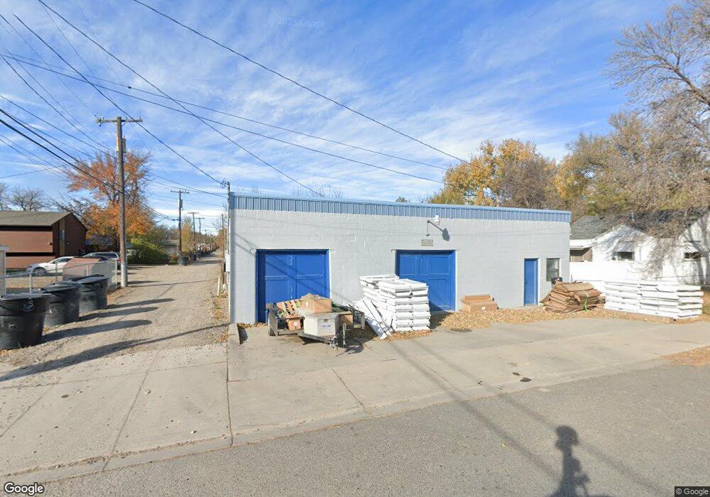
1006 Howard Ave Billings, MT 59102
East Central Billings NeighborhoodEstimated Value: $289,000 - $454,000
5
Beds
3
Baths
3,010
Sq Ft
$117/Sq Ft
Est. Value
About This Home
This home is located at 1006 Howard Ave, Billings, MT 59102 and is currently estimated at $351,912, approximately $116 per square foot. 1006 Howard Ave is a home located in Yellowstone County with nearby schools including Washington School, Lewis & Clark Junior High School, and Billings Senior High School.
Ownership History
Date
Name
Owned For
Owner Type
Purchase Details
Closed on
Sep 6, 2012
Sold by
Homestead Properties Inc
Bought by
Carlson Mark
Current Estimated Value
Purchase Details
Closed on
Feb 24, 2011
Sold by
Dahlberg Mark A and Dahlberg Laura J
Bought by
Homestead Properties Inc
Home Financials for this Owner
Home Financials are based on the most recent Mortgage that was taken out on this home.
Original Mortgage
$65,950
Interest Rate
4.67%
Mortgage Type
Construction
Create a Home Valuation Report for This Property
The Home Valuation Report is an in-depth analysis detailing your home's value as well as a comparison with similar homes in the area
Home Values in the Area
Average Home Value in this Area
Purchase History
| Date | Buyer | Sale Price | Title Company |
|---|---|---|---|
| Carlson Mark | -- | None Available | |
| Homestead Properties Inc | -- | None Available |
Source: Public Records
Mortgage History
| Date | Status | Borrower | Loan Amount |
|---|---|---|---|
| Previous Owner | Homestead Properties Inc | $65,950 |
Source: Public Records
Tax History Compared to Growth
Tax History
| Year | Tax Paid | Tax Assessment Tax Assessment Total Assessment is a certain percentage of the fair market value that is determined by local assessors to be the total taxable value of land and additions on the property. | Land | Improvement |
|---|---|---|---|---|
| 2025 | $2,795 | $297,900 | $45,411 | $252,489 |
| 2024 | $2,795 | $273,200 | $43,747 | $229,453 |
| 2023 | $2,894 | $273,200 | $43,747 | $229,453 |
| 2022 | $2,330 | $187,600 | $0 | $0 |
| 2021 | $2,298 | $187,600 | $0 | $0 |
| 2020 | $2,408 | $198,600 | $0 | $0 |
| 2019 | $2,305 | $198,600 | $0 | $0 |
| 2018 | $2,161 | $181,200 | $0 | $0 |
| 2017 | $1,678 | $181,200 | $0 | $0 |
| 2016 | $1,736 | $146,900 | $0 | $0 |
| 2015 | $1,697 | $146,900 | $0 | $0 |
| 2014 | $1,615 | $74,200 | $0 | $0 |
Source: Public Records
Map
Nearby Homes
- 1019 Miles Ave
- 927 Miles Ave
- 925 Miles Ave
- 1122 Howard Ave
- 1113 Lynn Ave
- 1128 Saint Johns Ave
- 812 Miles Ave
- 1231 Saint Johns Ave
- 1212 Concord Dr
- 1003 Wyoming Ave
- 704 Terry Ave
- 141 S 12th St W
- 908 Midway Ln #2
- 618 & 620 Howard Ave
- 1256 & 1260 Yellowstone Ave
- 1310 Yellowstone Ave Unit 6
- 1310 Yellowstone Ave Unit 11
- 1310 Yellowstone Ave Unit 16
- 1263 Yellowstone Ave
- 226 Moore Ln
- 1018 Howard Ave
- 1018 Howard Ave
- 1018 Howard Ave
- 1018 Howard Ave
- 1018 Howard Ave
- 1018 Howard Ave
- 1018 Howard Ave
- 1018 Howard Ave
- 1018 Howard Ave
- 1018 Howard Ave
- 1018 Howard Ave Unit 7
- 1018 Howard Ave Unit 6
- 1018 Howard Ave Unit 2
- 1018 Howard Ave Unit 7
- 1002 Howard Ave
- 1011 Cook Ave
- 1007 Cook Ave
- 1015 Cook Ave
- 1003 Cook Ave
- 1019 Cook Ave