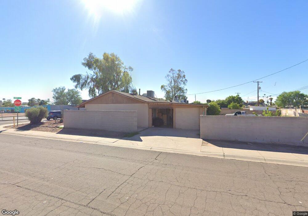
1006 S Price Rd Tempe, AZ 85281
Apache NeighborhoodEstimated Value: $319,490 - $417,000
--
Bed
2
Baths
1,260
Sq Ft
$307/Sq Ft
Est. Value
About This Home
This home is located at 1006 S Price Rd, Tempe, AZ 85281 and is currently estimated at $387,123, approximately $307 per square foot. 1006 S Price Rd is a home located in Maricopa County with nearby schools including Thew Elementary School, Connolly Middle School, and McClintock High School.
Ownership History
Date
Name
Owned For
Owner Type
Purchase Details
Closed on
Jan 15, 2016
Sold by
Verdugo Ernest R and Higuera Mary Louise
Bought by
Higuera Mary Louise
Current Estimated Value
Home Financials for this Owner
Home Financials are based on the most recent Mortgage that was taken out on this home.
Original Mortgage
$125,915
Outstanding Balance
$101,874
Interest Rate
4.5%
Mortgage Type
FHA
Estimated Equity
$285,249
Purchase Details
Closed on
Apr 21, 1994
Sold by
Va
Bought by
Verdugo Ernest R and Verdugo Mary Louise
Home Financials for this Owner
Home Financials are based on the most recent Mortgage that was taken out on this home.
Original Mortgage
$55,879
Interest Rate
8.53%
Mortgage Type
FHA
Create a Home Valuation Report for This Property
The Home Valuation Report is an in-depth analysis detailing your home's value as well as a comparison with similar homes in the area
Home Values in the Area
Average Home Value in this Area
Purchase History
| Date | Buyer | Sale Price | Title Company |
|---|---|---|---|
| Higuera Mary Louise | $31,400 | Title365 Falloretta | |
| Verdugo Ernest R | -- | Stewart Title & Trust |
Source: Public Records
Mortgage History
| Date | Status | Borrower | Loan Amount |
|---|---|---|---|
| Open | Higuera Mary Louise | $125,915 | |
| Previous Owner | Verdugo Ernest R | $55,879 |
Source: Public Records
Tax History Compared to Growth
Tax History
| Year | Tax Paid | Tax Assessment Tax Assessment Total Assessment is a certain percentage of the fair market value that is determined by local assessors to be the total taxable value of land and additions on the property. | Land | Improvement |
|---|---|---|---|---|
| 2025 | $1,061 | $10,179 | -- | -- |
| 2024 | $974 | $9,694 | -- | -- |
| 2023 | $974 | $29,910 | $5,980 | $23,930 |
| 2022 | $930 | $21,910 | $4,380 | $17,530 |
| 2021 | $948 | $20,460 | $4,090 | $16,370 |
| 2020 | $917 | $17,770 | $3,550 | $14,220 |
| 2019 | $899 | $15,330 | $3,060 | $12,270 |
| 2018 | $875 | $12,680 | $2,530 | $10,150 |
| 2017 | $848 | $11,050 | $2,210 | $8,840 |
| 2016 | $844 | $8,930 | $1,780 | $7,150 |
| 2015 | $816 | $7,260 | $1,450 | $5,810 |
Source: Public Records
Map
Nearby Homes
- 1016 S Siesta Ln
- 2129 E Kirkland Ln Unit 1
- 2123 E Kirkland Ln Unit 4
- 1027 S Siesta Ln
- 2144 E Center Ln Unit 3
- 1272 S Price Rd Unit 80
- 2045 E Orange St
- 1108 S Lebanon Ln
- 2340 E University Dr Unit 32
- 2340 E University Dr Unit 52
- 2340 E University Dr Unit 192
- 2340 E University Dr Unit 139
- 712 S Lebanon Ln Unit 2D
- 704 S Lebanon Ln Unit 4A
- 2431 E 7th St Unit 7B
- 901 S Smith Rd Unit 1045
- 2527 E Maryland Dr
- 2540 E Mcarthur Dr
- 920 S Kenwood Cir
- 914 S Kenwood Cir
- 1010 S Price Rd
- 1007 S Siesta Ln
- 1012 S Price Rd
- 1011 S Siesta Ln
- 2149 E 10th St Unit 1
- 2149 E 10th St Unit 3
- 2149 E 10th St Unit 2
- 2149 E 10th St Unit 4
- 1015 S Siesta Ln
- 2143 E 10th St Unit 4
- 2143 E 10th St Unit 1
- 2143 E 10th St Unit 2
- 2143 E 10th St Unit 3
- 1017 S Siesta Ln
- 1016 S Price Rd
- 2131 E 10th St Unit 1
- 2131 E 10th St Unit 2
- 2131 E 10th St Unit 86
- 2131 E 10th St Unit 3
- 2131 E 10th St