10065 N 65th St Longmont, CO 80503
Estimated Value: $957,000 - $1,393,902
4
Beds
2
Baths
1,283
Sq Ft
$953/Sq Ft
Est. Value
About This Home
This home is located at 10065 N 65th St, Longmont, CO 80503 and is currently estimated at $1,222,476, approximately $952 per square foot. 10065 N 65th St is a home located in Boulder County with nearby schools including Blue Mountain Elementary School, Altona Middle School, and Silver Creek High School.
Ownership History
Date
Name
Owned For
Owner Type
Purchase Details
Closed on
Nov 10, 2000
Sold by
Collings Bowers M Deane and Collings Sharon K
Bought by
Bowers M Deane
Current Estimated Value
Purchase Details
Closed on
Apr 28, 1999
Sold by
Symes Raymond C
Bought by
Bowers M Deane
Home Financials for this Owner
Home Financials are based on the most recent Mortgage that was taken out on this home.
Original Mortgage
$220,000
Outstanding Balance
$56,985
Interest Rate
7.07%
Estimated Equity
$1,165,491
Purchase Details
Closed on
Jun 17, 1966
Bought by
Bowers M Deane
Create a Home Valuation Report for This Property
The Home Valuation Report is an in-depth analysis detailing your home's value as well as a comparison with similar homes in the area
Home Values in the Area
Average Home Value in this Area
Purchase History
| Date | Buyer | Sale Price | Title Company |
|---|---|---|---|
| Bowers M Deane | -- | -- | |
| Bowers M Deane | $313,000 | -- | |
| Bowers M Deane | $29,500 | -- |
Source: Public Records
Mortgage History
| Date | Status | Borrower | Loan Amount |
|---|---|---|---|
| Open | Bowers M Deane | $220,000 |
Source: Public Records
Tax History Compared to Growth
Tax History
| Year | Tax Paid | Tax Assessment Tax Assessment Total Assessment is a certain percentage of the fair market value that is determined by local assessors to be the total taxable value of land and additions on the property. | Land | Improvement |
|---|---|---|---|---|
| 2025 | $8,402 | $78,999 | $61,213 | $17,786 |
| 2024 | $8,402 | $78,999 | $61,213 | $17,786 |
| 2023 | $8,260 | $87,455 | $39,811 | $51,329 |
| 2022 | $6,153 | $62,656 | $32,123 | $30,533 |
| 2021 | $6,166 | $64,458 | $33,047 | $31,411 |
| 2020 | $4,741 | $50,708 | $23,166 | $27,542 |
| 2019 | $4,320 | $46,982 | $23,166 | $23,816 |
| 2018 | $4,184 | $45,799 | $23,544 | $22,255 |
| 2017 | $4,078 | $50,633 | $26,029 | $24,604 |
| 2016 | $4,035 | $44,855 | $14,885 | $29,970 |
| 2015 | $3,699 | $37,174 | $14,169 | $23,005 |
| 2014 | $3,156 | $37,174 | $14,169 | $23,005 |
Source: Public Records
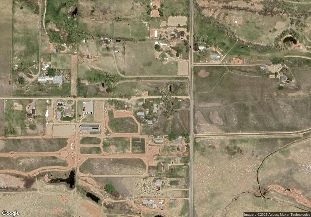
Map
Nearby Homes
- 10619 N 65th St
- 7373 Nelson Rd
- 10077 N 75th St
- 6880 Saint Vrain Rd
- 5595 Wheaton Ave
- 733 Kubat Ln Unit B
- 729 Kubat Ln Unit A
- 750 Kubat Ln Unit B
- 751 W Grange Ct Unit A
- 1106 Redbud Cir
- 6231 Prospect Rd
- 5717 Four Leaf Dr
- 150 N 75th St
- 5616 Wheaton Ave
- 5611 Wheaton Ave
- 5610 Four Leaf Dr
- 5608 Grandville Ave
- 5584 Moosehead Cir
- 5604 Grandville Ave
- 2100 2-Story Front Load Plan at West Grange
- 10041 N 65th St
- 9993 N 65th St
- 10085 N 65th St
- 10115 N 65th St
- 9947 N 65th St
- 9925 N 65th St
- 10145 N 65th St
- 10152 N 65th St
- 10091 N 65th St
- 10069 N 65th St
- 9889 N 65th St
- 6300 Galatia Rd
- 6342 Galatia Rd
- 10071 N 65th St
- 10221 N 65th St
- 6261 Laodicea Rd
- 10221 Phillipi Way
- 1000 N 65th St Unit Tract A
- 1000 N 65th St Unit Tract B
- 6365 Laodicea Rd