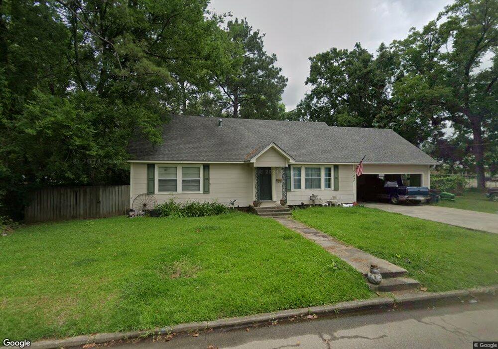
1007 Porter St Columbia, MS 39429
Estimated Value: $208,000 - $326,000
4
Beds
3
Baths
2,724
Sq Ft
$97/Sq Ft
Est. Value
About This Home
This home is located at 1007 Porter St, Columbia, MS 39429 and is currently estimated at $265,513, approximately $97 per square foot. 1007 Porter St is a home located in Marion County with nearby schools including Columbia Primary School, Columbia Elementary School, and Jefferson Middle School.
Ownership History
Date
Name
Owned For
Owner Type
Purchase Details
Closed on
Jan 5, 2024
Sold by
Sanders Troy Michael and Sanders Joanie P
Bought by
White Paul
Current Estimated Value
Purchase Details
Closed on
Jul 27, 2009
Sold by
Mccraw Jimmy and Mccraw Mary Ann
Bought by
Sanders Troy Michael and Sanders Joanie P
Home Financials for this Owner
Home Financials are based on the most recent Mortgage that was taken out on this home.
Original Mortgage
$97,400
Interest Rate
5.36%
Mortgage Type
Stand Alone First
Create a Home Valuation Report for This Property
The Home Valuation Report is an in-depth analysis detailing your home's value as well as a comparison with similar homes in the area
Home Values in the Area
Average Home Value in this Area
Purchase History
| Date | Buyer | Sale Price | Title Company |
|---|---|---|---|
| White Paul | -- | None Listed On Document | |
| Sanders Troy Michael | -- | -- |
Source: Public Records
Mortgage History
| Date | Status | Borrower | Loan Amount |
|---|---|---|---|
| Previous Owner | Sanders Troy Michael | $97,400 |
Source: Public Records
Tax History
| Year | Tax Paid | Tax Assessment Tax Assessment Total Assessment is a certain percentage of the fair market value that is determined by local assessors to be the total taxable value of land and additions on the property. | Land | Improvement |
|---|---|---|---|---|
| 2025 | $4,904 | $30,716 | $0 | $0 |
| 2024 | $1,257 | $9,091 | $0 | $0 |
| 2023 | $1,257 | $9,091 | $0 | $0 |
| 2022 | $1,257 | $9,091 | $0 | $0 |
| 2021 | $1,257 | $9,091 | $0 | $0 |
| 2020 | $1,120 | $8,563 | $0 | $0 |
| 2019 | $1,134 | $8,563 | $0 | $0 |
| 2018 | $1,010 | $7,820 | $0 | $0 |
| 2017 | $996 | $7,820 | $0 | $0 |
| 2016 | $890 | $7,584 | $0 | $0 |
| 2015 | $396 | $7,584 | $0 | $0 |
| 2014 | $396 | $8,260 | $0 | $0 |
Source: Public Records
Map
Nearby Homes
- 1015 Church St
- 1019 Gill St
- 903 Alberta Ave
- 820 Rogers Ave
- 696 White St
- 1005 Beatrice Ave
- 710 Church St
- 721 Dale St
- 1209 Gill St
- 701 Broad St
- 619 Broad St
- 915 N Park Ave
- 813 Greymont Dr
- 1223 Meadowood Rd
- 2106 Ridgewood Dr
- Lot 6 Mississippi 44
- Lot 8 Mississippi 44
- Lot 3 Mississippi 44
- lot 5 Mississippi 44
- Lot 2 Mississippi 44
- 706 Alberta Ave
- 704 Alberta Ave
- 708 Alberta Ave
- 616 Alberta Ave
- 1006 Church St
- 1008 Porter St
- 614 Alberta Ave
- 1000 Church St
- 701 Alberta Ave
- 707 Alberta Ave
- 711 Alberta Ave
- 709 Alberta Ave
- 713 Alberta Ave
- 615 Alberta Ave
- 1003 Broad St
- 911 Porter St
- 613 Alberta Ave
- 916 Church St
- 1007 Church St
- 1005 Church St
Your Personal Tour Guide
Ask me questions while you tour the home.