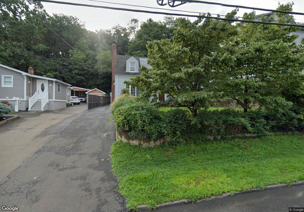
1007 Townsend Ave New Haven, CT 06512
The Annex NeighborhoodEstimated Value: $333,000 - $430,000
3
Beds
2
Baths
1,665
Sq Ft
$227/Sq Ft
Est. Value
About This Home
This home is located at 1007 Townsend Ave, New Haven, CT 06512 and is currently estimated at $377,958, approximately $227 per square foot. 1007 Townsend Ave is a home located in New Haven County with nearby schools including Nathan Hale School, Cold Spring School, and All Nations Christian Academy.
Ownership History
Date
Name
Owned For
Owner Type
Purchase Details
Closed on
Apr 12, 2002
Sold by
Cummings Donald and Petrelle Coral B
Bought by
Giordanella Anthony and George Heather
Current Estimated Value
Purchase Details
Closed on
Sep 14, 1999
Sold by
Giri John J and Giri Joann
Bought by
Cummings Donald and Petrelle Coral D
Purchase Details
Closed on
Jun 28, 1988
Sold by
Guerrera Steven M
Bought by
Giri John J
Create a Home Valuation Report for This Property
The Home Valuation Report is an in-depth analysis detailing your home's value as well as a comparison with similar homes in the area
Home Values in the Area
Average Home Value in this Area
Purchase History
| Date | Buyer | Sale Price | Title Company |
|---|---|---|---|
| Giordanella Anthony | $155,000 | -- | |
| Cummings Donald | $110,000 | -- | |
| Giri John J | $154,000 | -- |
Source: Public Records
Mortgage History
| Date | Status | Borrower | Loan Amount |
|---|---|---|---|
| Open | Giri John J | $110,144 | |
| Closed | Giri John J | $110,144 |
Source: Public Records
Tax History
| Year | Tax Paid | Tax Assessment Tax Assessment Total Assessment is a certain percentage of the fair market value that is determined by local assessors to be the total taxable value of land and additions on the property. | Land | Improvement |
|---|---|---|---|---|
| 2025 | $7,088 | $179,900 | $54,600 | $125,300 |
| 2024 | $6,926 | $179,900 | $54,600 | $125,300 |
| 2023 | $6,692 | $179,900 | $54,600 | $125,300 |
| 2022 | $7,151 | $179,900 | $54,600 | $125,300 |
| 2021 | $5,750 | $131,040 | $31,220 | $99,820 |
| 2020 | $5,750 | $131,040 | $31,220 | $99,820 |
| 2019 | $5,554 | $129,220 | $31,220 | $98,000 |
| 2018 | $5,554 | $129,220 | $31,220 | $98,000 |
| 2017 | $4,998 | $129,220 | $31,220 | $98,000 |
| 2016 | $5,174 | $124,530 | $31,220 | $93,310 |
| 2015 | $5,174 | $124,530 | $31,220 | $93,310 |
| 2014 | $5,174 | $124,530 | $31,220 | $93,310 |
Source: Public Records
Map
Nearby Homes
- 44 Huntington Ave
- 259 Elaine Terrace
- 45 Huntington Ave
- 10-16 Huntington Ave
- 666 Woodward Ave Unit 666
- 518 Woodward Ave Unit 21
- 334 Prospect Ave Unit 334
- 105 Sound View Terrace
- 253 Kneeland Rd
- 418 Woodward Ave Unit 9
- 33 Allen Place
- 88 Elizabeth Ann Dr
- 20 Ashland Place
- 64 Ashland Place
- 51 Hughes St
- 745 Townsend Ave Unit Lot 1
- 745 Townsend Ave Unit Lot 2
- 745 Townsend Ave Unit Lot 4
- 745 Townsend Ave Unit Lot 6
- 745 Townsend Ave Unit Lot 3
- 1015 Townsend Ave
- 999 Townsend Ave
- 1017 Townsend Ave
- 995 Townsend Ave
- 1021 Townsend Ave
- 991 Townsend Ave
- 993 Townsend Ave
- 985 Townsend Ave
- 1010 Townsend Ave
- 1004 Townsend Ave
- 1029 Townsend Ave
- 981 Townsend Ave
- 1014 Townsend Ave
- 996 Townsend Ave
- 1020 Townsend Ave
- 988 Townsend Ave
- 977 Townsend Ave
- 1035 Townsend Ave
- 1028 Townsend Ave
- 43 Beacon Ave
Your Personal Tour Guide
Ask me questions while you tour the home.