10070 County Road 9790 West Plains, MO 65775
Estimated Value: $61,370 - $319,000
--
Bed
--
Bath
680
Sq Ft
$238/Sq Ft
Est. Value
About This Home
This home is located at 10070 County Road 9790, West Plains, MO 65775 and is currently estimated at $161,790, approximately $237 per square foot. 10070 County Road 9790 is a home with nearby schools including Koshkonong Elementary School and Koshkonong High School.
Ownership History
Date
Name
Owned For
Owner Type
Purchase Details
Closed on
Mar 27, 2018
Sold by
Day Clifford
Bought by
Day Clifford and Clifford Day Jtrustt
Current Estimated Value
Purchase Details
Closed on
Sep 24, 2015
Sold by
Marquardt Eleanor
Bought by
Day Clifford and Long Shirley
Home Financials for this Owner
Home Financials are based on the most recent Mortgage that was taken out on this home.
Original Mortgage
$89,838
Interest Rate
3.99%
Mortgage Type
Purchase Money Mortgage
Purchase Details
Closed on
Mar 29, 2013
Sold by
Marquardt Paul G and Marquardt Eleanor
Bought by
Day Clifford and Long Shirley
Home Financials for this Owner
Home Financials are based on the most recent Mortgage that was taken out on this home.
Original Mortgage
$23,040
Interest Rate
3.59%
Mortgage Type
Future Advance Clause Open End Mortgage
Purchase Details
Closed on
Jan 21, 2013
Sold by
Day Clifford and Marquardt Eleanor
Bought by
Day Clifford
Create a Home Valuation Report for This Property
The Home Valuation Report is an in-depth analysis detailing your home's value as well as a comparison with similar homes in the area
Home Values in the Area
Average Home Value in this Area
Purchase History
| Date | Buyer | Sale Price | Title Company |
|---|---|---|---|
| Day Clifford | -- | None Available | |
| Day Clifford | -- | Brill Title Company | |
| Day Clifford | -- | Btc | |
| Day Clifford | -- | None Available |
Source: Public Records
Mortgage History
| Date | Status | Borrower | Loan Amount |
|---|---|---|---|
| Closed | Day Clifford | $89,838 | |
| Previous Owner | Day Clifford | $23,040 |
Source: Public Records
Tax History Compared to Growth
Tax History
| Year | Tax Paid | Tax Assessment Tax Assessment Total Assessment is a certain percentage of the fair market value that is determined by local assessors to be the total taxable value of land and additions on the property. | Land | Improvement |
|---|---|---|---|---|
| 2025 | $265 | $6,310 | $4,320 | $1,990 |
| 2024 | $264 | $5,640 | -- | -- |
| 2023 | $264 | $5,640 | $0 | $0 |
| 2022 | $195 | $4,150 | $0 | $0 |
| 2021 | $205 | $4,150 | $0 | $0 |
| 2020 | $205 | $4,370 | $0 | $0 |
| 2019 | $214 | $4,370 | $0 | $0 |
| 2018 | $186 | $3,810 | $0 | $0 |
| 2017 | $185 | $3,810 | $0 | $0 |
| 2015 | -- | $3,810 | $0 | $0 |
| 2014 | -- | $3,800 | $0 | $0 |
| 2013 | -- | $3,800 | $0 | $0 |
Source: Public Records
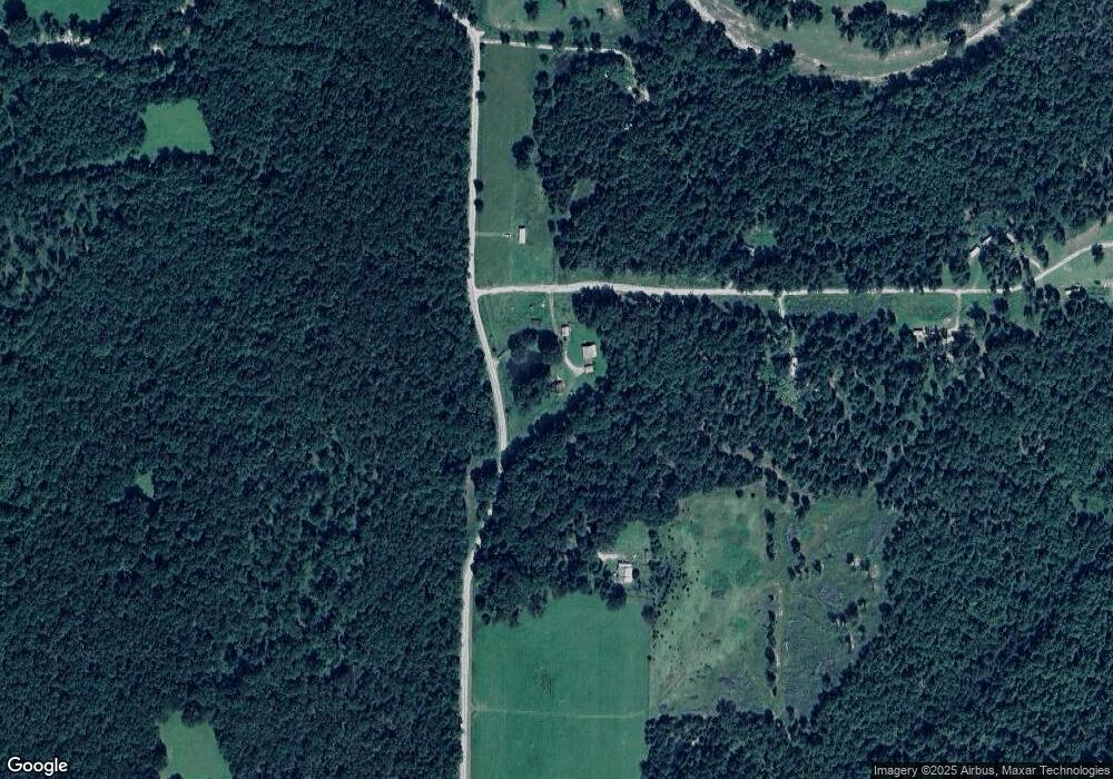
Map
Nearby Homes
- 11508 U S 63
- 10842 Us Highway 63
- 172 Missouri Highway 63
- 000 County Road 9850
- 8980 Private Road 9689
- 4881 M Hwy
- 000 M Hwy
- 10081 Us Highway 63
- 7644 County Road 8280
- Tract 1 County Road 347
- Tract 2 County Road 347
- 9162 County Road 9090
- 10776 State Route Pp
- 000 State Route F
- 2722 County Road 347
- 3339 Us 63
- 000
- 301 Luyster St
- Tbd Bingham St
- 000 County Road 9160