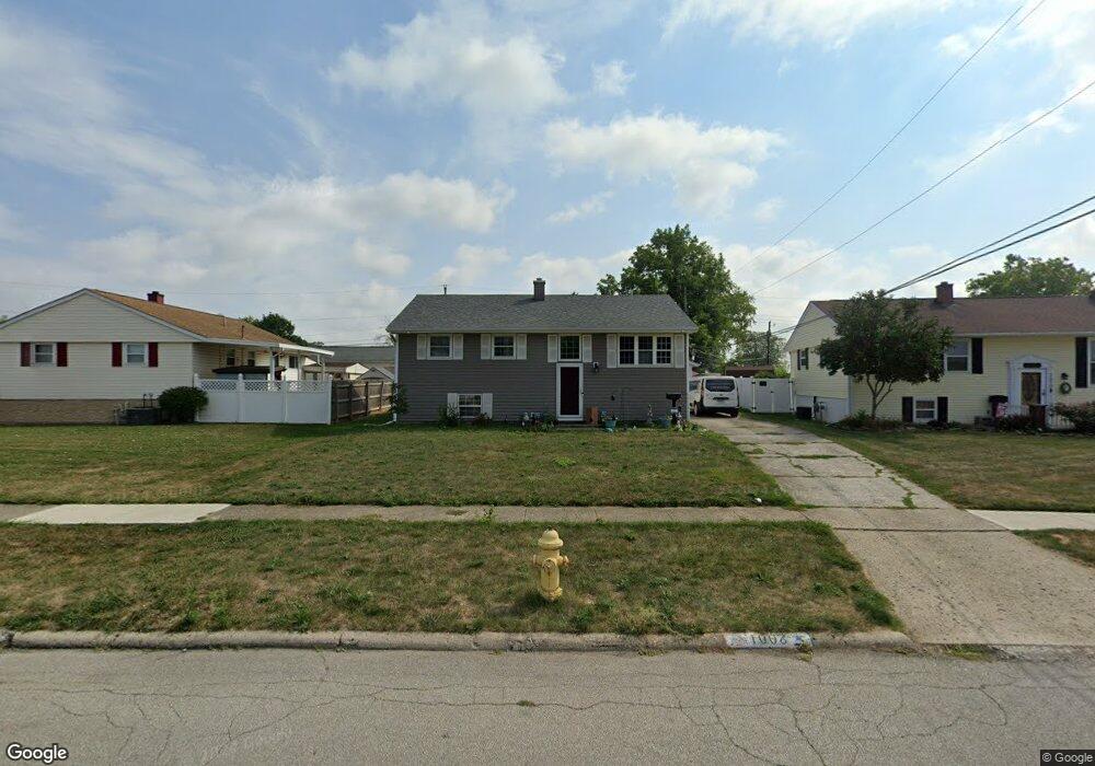
1008 Landou Way Columbus, OH 43207
Obetz-Lockbourne NeighborhoodEstimated Value: $228,000 - $279,000
4
Beds
2
Baths
1,496
Sq Ft
$169/Sq Ft
Est. Value
About This Home
This home is located at 1008 Landou Way, Columbus, OH 43207 and is currently estimated at $252,539, approximately $168 per square foot. 1008 Landou Way is a home located in Franklin County with nearby schools including Hamilton Elementary School, Hamilton Intermediate School, and Hamilton Middle School.
Ownership History
Date
Name
Owned For
Owner Type
Purchase Details
Closed on
Aug 19, 2021
Sold by
Rollins Robert L
Bought by
Rollins Robert L and Rollins Felicia
Current Estimated Value
Home Financials for this Owner
Home Financials are based on the most recent Mortgage that was taken out on this home.
Original Mortgage
$80,000
Outstanding Balance
$60,653
Interest Rate
2.1%
Mortgage Type
New Conventional
Estimated Equity
$191,886
Purchase Details
Closed on
Oct 6, 2010
Sold by
Duncan Robert Lee and Duncan Ruth Ernestine
Bought by
Rollins Robert L
Home Financials for this Owner
Home Financials are based on the most recent Mortgage that was taken out on this home.
Original Mortgage
$81,897
Interest Rate
4.87%
Mortgage Type
FHA
Purchase Details
Closed on
Jul 27, 1961
Bought by
Duncan Robert L
Create a Home Valuation Report for This Property
The Home Valuation Report is an in-depth analysis detailing your home's value as well as a comparison with similar homes in the area
Home Values in the Area
Average Home Value in this Area
Purchase History
| Date | Buyer | Sale Price | Title Company |
|---|---|---|---|
| Rollins Robert L | -- | Landsel Title Agency Inc | |
| Rollins Robert L | $83,000 | Title Pro | |
| Duncan Robert L | -- | -- |
Source: Public Records
Mortgage History
| Date | Status | Borrower | Loan Amount |
|---|---|---|---|
| Open | Rollins Robert L | $80,000 | |
| Closed | Rollins Robert L | $81,897 |
Source: Public Records
Tax History Compared to Growth
Tax History
| Year | Tax Paid | Tax Assessment Tax Assessment Total Assessment is a certain percentage of the fair market value that is determined by local assessors to be the total taxable value of land and additions on the property. | Land | Improvement |
|---|---|---|---|---|
| 2024 | $3,398 | $74,380 | $17,150 | $57,230 |
| 2023 | $3,381 | $74,375 | $17,150 | $57,225 |
| 2022 | $2,261 | $38,080 | $6,020 | $32,060 |
| 2021 | $2,289 | $38,080 | $6,020 | $32,060 |
| 2020 | $2,131 | $38,080 | $6,020 | $32,060 |
| 2019 | $2,004 | $31,720 | $5,010 | $26,710 |
| 2018 | $1,889 | $31,720 | $5,010 | $26,710 |
| 2017 | $1,895 | $31,720 | $5,010 | $26,710 |
| 2016 | $1,898 | $29,340 | $5,850 | $23,490 |
| 2015 | $1,800 | $29,340 | $5,850 | $23,490 |
| 2014 | $1,791 | $29,340 | $5,850 | $23,490 |
| 2013 | $958 | $32,585 | $6,475 | $26,110 |
Source: Public Records
Map
Nearby Homes
- 5083 Meadowbrook Dr
- 5140 Meadowbrook Dr
- 1059 Belford Ave
- 5081 Lockbourne Rd
- 920 Cherrydale Ave
- 1031 Secrest Ave
- 4917 Fishburn Ct
- 1091 Secrest Ave
- 1099 Secrest Ave
- 1292 Webb Dr Unit Lot 83
- 1291 Webb Dr Unit Lot 90
- 1315 Webb Dr Unit Lot 93
- 5340 Edgeview Rd
- 4434 Butler Farms Dr
- 4175 Holstein Dr
- 4241 Gelbray Ct
- 353 Kear St
- 4410 Holstein Dr
- 481 Wellsleyglen Dr
- 520 Wyndham Ridge Dr
- 1010 Landou Way
- 5070 Meadowbrook Dr
- 1023 Moncrief Ave
- 5121 Fairlane Rd
- 1031 Moncrief Ave
- 5119 Fairlane Rd
- 1007 Landou Way
- 1011 Landou Way
- 5117 Fairlane Rd
- 5088 Meadowbrook Dr
- 5061 Meadowbrook Dr
- 1032 Moncrief Ave
- 5067 Meadowbrook Dr
- 5127 Fairlane Rd
- 1051 Moncrief Ave
- 5053 Meadowbrook Dr
- 5115 Fairlane Rd
- 5073 Meadowbrook Dr
- 5122 Fairlane Rd
- 5094 Meadowbrook Dr