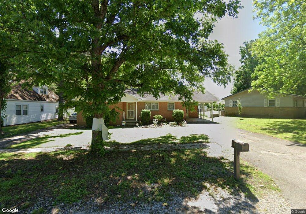
1008 SW 2nd St Corning, AR 72422
Estimated Value: $68,000 - $93,000
Studio
1
Bath
1,272
Sq Ft
$68/Sq Ft
Est. Value
About This Home
This home is located at 1008 SW 2nd St, Corning, AR 72422 and is currently estimated at $85,893, approximately $67 per square foot. 1008 SW 2nd St is a home located in Clay County with nearby schools including Park Elementary School, Central Elementary School, and Corning Middle School.
Ownership History
Date
Name
Owned For
Owner Type
Purchase Details
Closed on
Mar 5, 2014
Sold by
Charles E Charles E and Arnold Betty J
Bought by
Samons Rovert Heath and Morris Kelly Ann
Current Estimated Value
Home Financials for this Owner
Home Financials are based on the most recent Mortgage that was taken out on this home.
Original Mortgage
$45,000
Outstanding Balance
$12,969
Interest Rate
4.36%
Mortgage Type
New Conventional
Estimated Equity
$72,924
Purchase Details
Closed on
Jun 2, 2004
Bought by
Arnold
Create a Home Valuation Report for This Property
The Home Valuation Report is an in-depth analysis detailing your home's value as well as a comparison with similar homes in the area
Home Values in the Area
Average Home Value in this Area
Purchase History
| Date | Buyer | Sale Price | Title Company |
|---|---|---|---|
| Samons Rovert Heath | $55,000 | -- | |
| Arnold | $34,000 | -- |
Source: Public Records
Mortgage History
| Date | Status | Borrower | Loan Amount |
|---|---|---|---|
| Open | Samons Rovert Heath | $45,000 |
Source: Public Records
Tax History
| Year | Tax Paid | Tax Assessment Tax Assessment Total Assessment is a certain percentage of the fair market value that is determined by local assessors to be the total taxable value of land and additions on the property. | Land | Improvement |
|---|---|---|---|---|
| 2025 | $505 | $9,800 | $1,000 | $8,800 |
| 2024 | $5 | $9,800 | $1,000 | $8,800 |
| 2023 | $456 | $9,800 | $1,000 | $8,800 |
| 2022 | $567 | $12,200 | $1,000 | $11,200 |
| 2021 | $567 | $12,200 | $1,000 | $11,200 |
| 2020 | $567 | $12,200 | $1,000 | $11,200 |
| 2019 | $567 | $12,200 | $1,000 | $11,200 |
| 2018 | $567 | $12,200 | $1,000 | $11,200 |
| 2017 | $521 | $11,210 | $1,000 | $10,210 |
| 2016 | -- | $11,210 | $1,000 | $10,210 |
| 2015 | -- | $11,210 | $1,000 | $10,210 |
| 2014 | -- | $11,210 | $1,000 | $10,210 |
| 2013 | -- | $11,210 | $1,000 | $10,210 |
Source: Public Records
Map
Nearby Homes
Your Personal Tour Guide
Ask me questions while you tour the home.