Estimated Value: $380,000 - $543,000
3
Beds
2
Baths
2,020
Sq Ft
$235/Sq Ft
Est. Value
About This Home
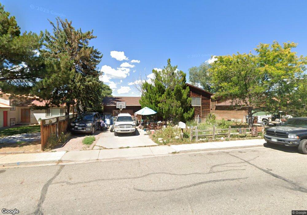
This home is located at 1008 W 5th St, Rifle, CO 81650 and is currently estimated at $475,489, approximately $235 per square foot. 1008 W 5th St is a home located in Garfield County with nearby schools including Graham Mesa Elementary School, Rifle Middle School, and Rifle High School.
Ownership History
Date
Name
Owned For
Owner Type
Purchase Details
Closed on
Mar 4, 2020
Sold by
Gould Mark C and Gould Mary A
Bought by
Zemlock Joseph P and Zemlock Debra E
Current Estimated Value
Home Financials for this Owner
Home Financials are based on the most recent Mortgage that was taken out on this home.
Original Mortgage
$165,432
Outstanding Balance
$146,790
Interest Rate
3.6%
Mortgage Type
Commercial
Estimated Equity
$328,699
Purchase Details
Closed on
Feb 12, 2007
Sold by
Zemlock Joseph Paul and Zemlock Debra Ellen
Bought by
Gould Mark C and Gould Mary A
Home Financials for this Owner
Home Financials are based on the most recent Mortgage that was taken out on this home.
Original Mortgage
$177,000
Interest Rate
6.13%
Mortgage Type
Purchase Money Mortgage
Purchase Details
Closed on
Aug 7, 1997
Create a Home Valuation Report for This Property
The Home Valuation Report is an in-depth analysis detailing your home's value as well as a comparison with similar homes in the area
Home Values in the Area
Average Home Value in this Area
Purchase History
| Date | Buyer | Sale Price | Title Company |
|---|---|---|---|
| Zemlock Joseph P | $207,078 | Land Title Guarantee Co | |
| Gould Mark C | $177,000 | Stewart Title Of Colorado | |
| -- | $120,000 | -- |
Source: Public Records
Mortgage History
| Date | Status | Borrower | Loan Amount |
|---|---|---|---|
| Open | Zemlock Joseph P | $165,432 | |
| Previous Owner | Gould Mark C | $177,000 |
Source: Public Records
Tax History Compared to Growth
Tax History
| Year | Tax Paid | Tax Assessment Tax Assessment Total Assessment is a certain percentage of the fair market value that is determined by local assessors to be the total taxable value of land and additions on the property. | Land | Improvement |
|---|---|---|---|---|
| 2024 | $4,650 | $23,500 | $2,550 | $20,950 |
| 2023 | $4,650 | $23,500 | $2,550 | $20,950 |
| 2022 | $1,516 | $21,180 | $3,480 | $17,700 |
| 2021 | $3,767 | $21,790 | $3,580 | $18,210 |
| 2020 | $2,639 | $19,540 | $2,570 | $16,970 |
| 2019 | $1,353 | $19,540 | $2,570 | $16,970 |
| 2018 | $1,162 | $16,410 | $2,380 | $14,030 |
| 2017 | $1,050 | $16,410 | $2,380 | $14,030 |
| 2016 | $854 | $15,110 | $2,150 | $12,960 |
| 2015 | $788 | $15,110 | $2,150 | $12,960 |
| 2014 | $637 | $12,120 | $1,550 | $10,570 |
Source: Public Records
Map
Nearby Homes
- 1110 Arnold Ct
- 990 Wamsley Way
- 1008 Wamsley Way
- 342 Elm Ave
- 500 Fairway Ave
- 580 Will Ave
- 336 Will Ave
- 335 Hutton Ave
- 1617 W 7th St
- 531 Park Ave
- 663 Park Ave
- TBD Stillwell Ave
- 381 W 5th St Unit 2
- 751 Park Ave
- 1016 Stillwell Ave
- 758 Railroad Ave
- 108 Ray Ave
- 629 Whiteriver Ave
- 440 Whiteriver Ave
- 216 E 1st St
- 1002 W 5th St
- 1014 W 5th St
- 954 W 5th St
- 500 Wamsley Way
- 1001 W 5th St
- 530 Wamsley Way
- 1011 W 5th St
- 510 Wamsley Way
- 1011 Wamsley Way
- 942 W 5th St
- 540 Wamsley Way
- 1005 Wamsley Way
- 1017 W 5th St
- 427 Arnold Ave
- 1015 Wamsley Way
- 995 Wamsley Way
- 446 Arnold Ave
- 1101 W 5th St
- 535 Arnold Ave
- 997 Wamsley Way