1009 Miller Pond Rd Grantham, NH 03753
Estimated Value: $316,000 - $418,069
2
Beds
1
Bath
959
Sq Ft
$397/Sq Ft
Est. Value
About This Home
This home is located at 1009 Miller Pond Rd, Grantham, NH 03753 and is currently estimated at $381,017, approximately $397 per square foot. 1009 Miller Pond Rd is a home located in Sullivan County with nearby schools including Grantham Village School and Lebanon High School.
Ownership History
Date
Name
Owned For
Owner Type
Purchase Details
Closed on
Feb 9, 2024
Sold by
Cyphers Margaret S and Cyphers Earl J
Bought by
Cyphers Ft and Cyphers
Current Estimated Value
Purchase Details
Closed on
Jun 18, 1998
Sold by
Timberland Invest Co L
Bought by
Cyphers E Jeffrey E and Cyphers Margaret S
Create a Home Valuation Report for This Property
The Home Valuation Report is an in-depth analysis detailing your home's value as well as a comparison with similar homes in the area
Home Values in the Area
Average Home Value in this Area
Purchase History
| Date | Buyer | Sale Price | Title Company |
|---|---|---|---|
| Cyphers Ft | -- | None Available | |
| Cyphers E Jeffrey E | $19,000 | -- |
Source: Public Records
Mortgage History
| Date | Status | Borrower | Loan Amount |
|---|---|---|---|
| Previous Owner | Cyphers E Jeffrey E | $173,500 |
Source: Public Records
Tax History Compared to Growth
Tax History
| Year | Tax Paid | Tax Assessment Tax Assessment Total Assessment is a certain percentage of the fair market value that is determined by local assessors to be the total taxable value of land and additions on the property. | Land | Improvement |
|---|---|---|---|---|
| 2024 | $5,197 | $265,000 | $70,200 | $194,800 |
| 2023 | $4,661 | $265,000 | $70,200 | $194,800 |
| 2022 | $4,357 | $265,000 | $70,200 | $194,800 |
| 2021 | $4,646 | $202,700 | $79,800 | $122,900 |
| 2020 | $4,755 | $202,700 | $79,800 | $122,900 |
| 2019 | $3,985 | $154,100 | $49,300 | $104,800 |
| 2018 | $4,020 | $154,100 | $49,300 | $104,800 |
| 2017 | $3,655 | $154,100 | $49,300 | $104,800 |
| 2016 | $3,674 | $154,100 | $49,300 | $104,800 |
| 2015 | $3,717 | $154,100 | $49,300 | $104,800 |
| 2014 | $3,884 | $174,400 | $66,800 | $107,600 |
| 2013 | $3,739 | $174,400 | $66,800 | $107,600 |
Source: Public Records
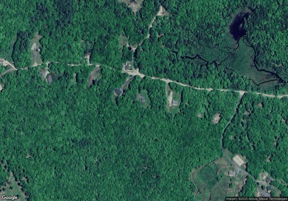
Map
Nearby Homes
- 442 Olde Farms Rd
- 19 Rowland Rd
- 729 Olde Farm Rd
- 00 Route 10 N
- 1284 Route 10 N
- 295 Frye Ln
- 72 Draper Mill Rd
- 23 High Pond Rd
- 8 Old Spring Dr
- 64 High Pond Rd
- 13 Forest Rd
- 84 Nightingale Ln
- 0 Route 10 N Unit 5058175
- 6 Anderson Pond Rd
- 4 Bay Tree Ln
- 49 Old Beach Cir
- 3 Water View
- 27 Spring Valley Dr
- 38 Terrace View
- 21 Shore Rd
- 0 Tall Timber Dr
- 0 Tall Timber Dr Unit 4174964
- 0 Tall Timber Dr Unit 4496456
- 0 Tall Timber Dr Unit 4083015
- 0 Tall Timber Dr Unit 4083017
- 1017 Miller Pond Rd
- 1001 Miller Pond Rd
- 1024 Miller Pond Rd
- 0 Mountain Rd Unit 15 4971006
- 0 Mountain Rd Unit 4920168
- 0 Mountain Rd Unit 4898389
- 0 Mountain Rd Unit 4446687
- 1049 Miller Pond Rd
- 46 Tall Timber Dr
- 21 Tall Timber Dr
- 1053 Mountain Rd
- 1060 Miller Pond Rd
- 250 Tall Timber Dr
- 105 View Place
- 266 Tall Timber Dr