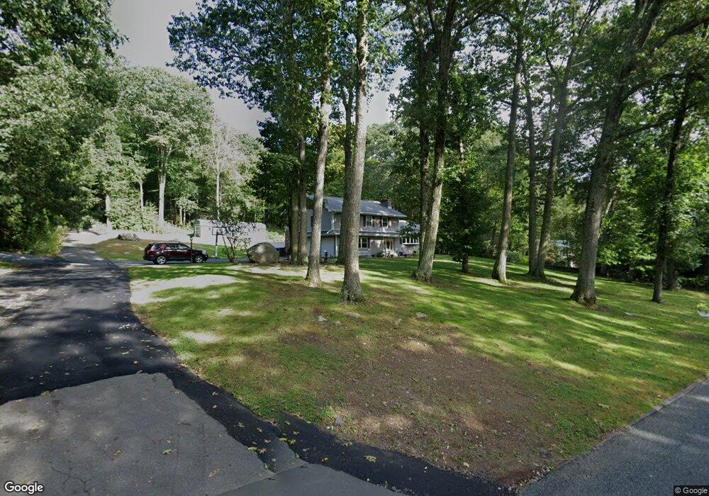
101 1/2 Burbank Rd Ellington, CT 06029
Crystal Lake NeighborhoodEstimated Value: $450,000 - $634,000
3
Beds
3
Baths
2,336
Sq Ft
$239/Sq Ft
Est. Value
About This Home
This home is located at 101 1/2 Burbank Rd, Ellington, CT 06029 and is currently estimated at $557,725, approximately $238 per square foot. 101 1/2 Burbank Rd is a home located in Tolland County with nearby schools including Ellington High School.
Ownership History
Date
Name
Owned For
Owner Type
Purchase Details
Closed on
Jul 15, 1999
Sold by
Dube Joseph
Bought by
Flinn Janet
Current Estimated Value
Purchase Details
Closed on
Dec 9, 1996
Sold by
Savings Bank Rockville
Bought by
Petrucelli Builders
Purchase Details
Closed on
Nov 5, 1996
Sold by
Lee Richard
Bought by
2Nd New England Forest
Purchase Details
Closed on
Jun 7, 1996
Sold by
William E Dowty Co
Bought by
Hany Steven
Create a Home Valuation Report for This Property
The Home Valuation Report is an in-depth analysis detailing your home's value as well as a comparison with similar homes in the area
Home Values in the Area
Average Home Value in this Area
Purchase History
| Date | Buyer | Sale Price | Title Company |
|---|---|---|---|
| Flinn Janet | $39,900 | -- | |
| Petrucelli Builders | $45,000 | -- | |
| 2Nd New England Forest | $51,000 | -- | |
| Hany Steven | $30,000 | -- |
Source: Public Records
Mortgage History
| Date | Status | Borrower | Loan Amount |
|---|---|---|---|
| Previous Owner | Hany Steven | $78,000 | |
| Previous Owner | Hany Steven | $100,000 |
Source: Public Records
Tax History
| Year | Tax Paid | Tax Assessment Tax Assessment Total Assessment is a certain percentage of the fair market value that is determined by local assessors to be the total taxable value of land and additions on the property. | Land | Improvement |
|---|---|---|---|---|
| 2025 | $10,609 | $285,960 | $64,590 | $221,370 |
| 2024 | $10,295 | $285,960 | $64,590 | $221,370 |
| 2023 | $9,808 | $285,960 | $64,590 | $221,370 |
| 2022 | $9,294 | $285,960 | $64,590 | $221,370 |
| 2021 | $9,036 | $285,960 | $64,590 | $221,370 |
| 2020 | $9,403 | $288,450 | $66,880 | $221,570 |
| 2019 | $9,403 | $288,450 | $66,880 | $221,570 |
| 2016 | $8,798 | $288,450 | $66,880 | $221,570 |
Source: Public Records
Map
Nearby Homes
- 267 Sandy Beach Rd
- 29 Newell Hill Rd
- 70 South Rd
- 9 Wheelock Rd
- 26 Green St
- 7 Harvey Ln
- 20 Old Birch Rd
- 116 Conklin Rd
- 127 Sandy Beach Rd
- 0000 Webster Rd
- 50 Buff Cap Rd
- 89 Crystal Lake Rd Unit T7
- 42 Ladd Rd
- 55 Kendall Mountain Rd
- 51 Sandy Beach Rd
- 4 Weigel Valley Dr Unit 4
- 110 Neff Hill Rd
- 105 Neff Hill Rd
- 137 Neff Hill Rd
- 77 Neff Hill Rd
Your Personal Tour Guide
Ask me questions while you tour the home.