Estimated Value: $1,188,487 - $1,261,000
4
Beds
5
Baths
3,016
Sq Ft
$407/Sq Ft
Est. Value
About This Home
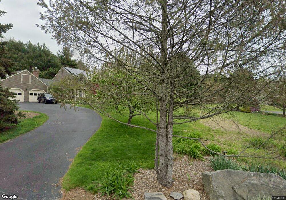
This home is located at 101 Charter Rd, Acton, MA 01720 and is currently estimated at $1,227,122, approximately $406 per square foot. 101 Charter Rd is a home located in Middlesex County with nearby schools including Acton-Boxborough Regional High School.
Ownership History
Date
Name
Owned For
Owner Type
Purchase Details
Closed on
Jun 4, 2015
Sold by
Macdonald Fraser D and Crofton Dolores
Bought by
Macdonald Dolores C and Cohen David A
Current Estimated Value
Home Financials for this Owner
Home Financials are based on the most recent Mortgage that was taken out on this home.
Original Mortgage
$470,000
Interest Rate
3.62%
Mortgage Type
New Conventional
Purchase Details
Closed on
Oct 11, 2002
Sold by
Defabritiis Vincent A and Defabritiis Marija G
Bought by
Macdonald Fraser D and Crofton Dolores
Home Financials for this Owner
Home Financials are based on the most recent Mortgage that was taken out on this home.
Original Mortgage
$525,000
Interest Rate
6.24%
Mortgage Type
Purchase Money Mortgage
Purchase Details
Closed on
Jun 29, 2000
Sold by
Russell Kathy L
Bought by
Defabritiis Vincent A and Defabritiis Marija G
Purchase Details
Closed on
Dec 16, 1999
Sold by
Fenton Carolyn
Bought by
Russell Kathy L
Home Financials for this Owner
Home Financials are based on the most recent Mortgage that was taken out on this home.
Original Mortgage
$185,000
Interest Rate
7.81%
Mortgage Type
Purchase Money Mortgage
Create a Home Valuation Report for This Property
The Home Valuation Report is an in-depth analysis detailing your home's value as well as a comparison with similar homes in the area
Home Values in the Area
Average Home Value in this Area
Purchase History
| Date | Buyer | Sale Price | Title Company |
|---|---|---|---|
| Macdonald Dolores C | $720,000 | -- | |
| Macdonald Fraser D | $699,000 | -- | |
| Macdonald Fraser D | $699,000 | -- | |
| Defabritiis Vincent A | $468,000 | -- | |
| Russell Kathy L | $445,000 | -- |
Source: Public Records
Mortgage History
| Date | Status | Borrower | Loan Amount |
|---|---|---|---|
| Closed | Macdonald Dolores C | $470,000 | |
| Previous Owner | Macdonald Fraser D | $525,000 | |
| Previous Owner | Russell Kathy L | $185,000 | |
| Previous Owner | Russell Kathy L | $100,000 |
Source: Public Records
Tax History
| Year | Tax Paid | Tax Assessment Tax Assessment Total Assessment is a certain percentage of the fair market value that is determined by local assessors to be the total taxable value of land and additions on the property. | Land | Improvement |
|---|---|---|---|---|
| 2025 | $18,109 | $1,055,900 | $338,700 | $717,200 |
| 2024 | $16,857 | $1,011,200 | $338,700 | $672,500 |
| 2023 | $16,492 | $939,200 | $307,900 | $631,300 |
| 2022 | $15,616 | $802,900 | $267,900 | $535,000 |
| 2021 | $15,282 | $755,400 | $247,900 | $507,500 |
| 2020 | $14,661 | $762,000 | $247,900 | $514,100 |
| 2019 | $14,109 | $728,400 | $247,900 | $480,500 |
| 2018 | $13,833 | $713,800 | $247,900 | $465,900 |
| 2017 | $13,466 | $706,500 | $247,900 | $458,600 |
| 2016 | $13,399 | $696,800 | $247,900 | $448,900 |
| 2015 | $13,131 | $689,300 | $247,900 | $441,400 |
| 2014 | -- | $687,900 | $247,900 | $440,000 |
Source: Public Records
Map
Nearby Homes
- 79 Charter Rd
- 5 Perkins Ln
- 60 Nashoba Rd
- 96 Newtown Rd
- 20 Joseph Reed Ln
- 18 Hayward Rd
- 4 Littlefield Rd
- 11 Braebrook
- 235 Arlington St
- 33 Meadowbrook Rd
- 246 Main St Unit 2
- 631 Massachusetts Ave Unit 631
- 7 Kelley Rd
- 46 Taylor Rd
- 491 Main St
- 4 Omega Way
- 524 Main St
- 709 Main St
- 27 Forest Rd
- 184 Main St Unit 3
- 103 Charter Rd
- 72 Arlington St
- 99 Charter Rd
- 104 Charter Rd
- 1 Freedom Farme Rd
- 2 Freedom Farme Rd
- 102 Charter Rd
- 67 Arlington St
- 78 Arlington St
- 78 Arlington St Unit 78
- 73 Arlington St
- 4 Freedom Farme Rd
- 5 Freedom Farme Rd
- 1 Olde Barn Way
- 93 Charter Rd
- 97 Charter Rd
- 50 Arlington St
- 41 Jackson Dr
- 41 Jackson Dr
- 3 Olde Barn Way
Your Personal Tour Guide
Ask me questions while you tour the home.