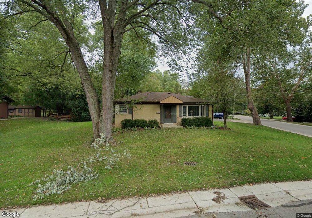
101 Cherokee Rd Algonquin, IL 60102
Estimated Value: $326,614 - $388,000
3
Beds
1
Bath
1,245
Sq Ft
$292/Sq Ft
Est. Value
About This Home
This home is located at 101 Cherokee Rd, Algonquin, IL 60102 and is currently estimated at $364,154, approximately $292 per square foot. 101 Cherokee Rd is a home located in McHenry County with nearby schools including Eastview Elementary School, Algonquin Middle School, and Dundee-Crown High School.
Ownership History
Date
Name
Owned For
Owner Type
Purchase Details
Closed on
Oct 18, 2007
Sold by
Keogh Thomas E
Bought by
Keogh Joan M
Current Estimated Value
Purchase Details
Closed on
Mar 1, 1994
Sold by
Quatroke John
Bought by
Keogh Thomas E and Keogh Joan M
Home Financials for this Owner
Home Financials are based on the most recent Mortgage that was taken out on this home.
Original Mortgage
$104,854
Interest Rate
7.1%
Mortgage Type
FHA
Create a Home Valuation Report for This Property
The Home Valuation Report is an in-depth analysis detailing your home's value as well as a comparison with similar homes in the area
Purchase History
| Date | Buyer | Sale Price | Title Company |
|---|---|---|---|
| Keogh Joan M | -- | None Available | |
| Keogh Thomas E | $105,000 | -- |
Source: Public Records
Mortgage History
| Date | Status | Borrower | Loan Amount |
|---|---|---|---|
| Previous Owner | Keogh Thomas E | $104,854 |
Source: Public Records
Tax History
| Year | Tax Paid | Tax Assessment Tax Assessment Total Assessment is a certain percentage of the fair market value that is determined by local assessors to be the total taxable value of land and additions on the property. | Land | Improvement |
|---|---|---|---|---|
| 2024 | $6,568 | $91,958 | $15,022 | $76,936 |
| 2023 | $6,215 | $82,245 | $13,435 | $68,810 |
| 2022 | $4,533 | $58,860 | $8,433 | $50,427 |
| 2021 | $4,333 | $54,835 | $7,856 | $46,979 |
| 2020 | $4,211 | $52,894 | $7,578 | $45,316 |
| 2019 | $4,098 | $50,626 | $7,253 | $43,373 |
| 2018 | $3,886 | $46,767 | $6,700 | $40,067 |
| 2017 | $3,790 | $44,058 | $6,312 | $37,746 |
| 2016 | $3,714 | $41,322 | $5,920 | $35,402 |
| 2013 | -- | $52,904 | $5,522 | $47,382 |
Source: Public Records
Map
Nearby Homes
- 21 Division St
- 407 La Fox River Dr
- Lot #3-5 Hayes Rd
- 0 Natoma Trail
- 0 River Dr N Unit MRD12473279
- 719 Webster St
- lot 25 Wabican Trail
- 600 E Algonquin Rd
- 615 Harper Dr
- 308 Rustic Ln
- 1188 E Algonquin Rd
- 953 Old Oak Cir
- 730 Chestnut Ct
- 1420 Greenridge Ave
- 721 Brentwood Ct
- 1031 Timberwood Ln
- 1 N Hubbard St
- SWC Talaga and Algonquin Rd
- 1105 Spring Hill Dr
- Lot 4 b Ryan Pkwy
Your Personal Tour Guide
Ask me questions while you tour the home.