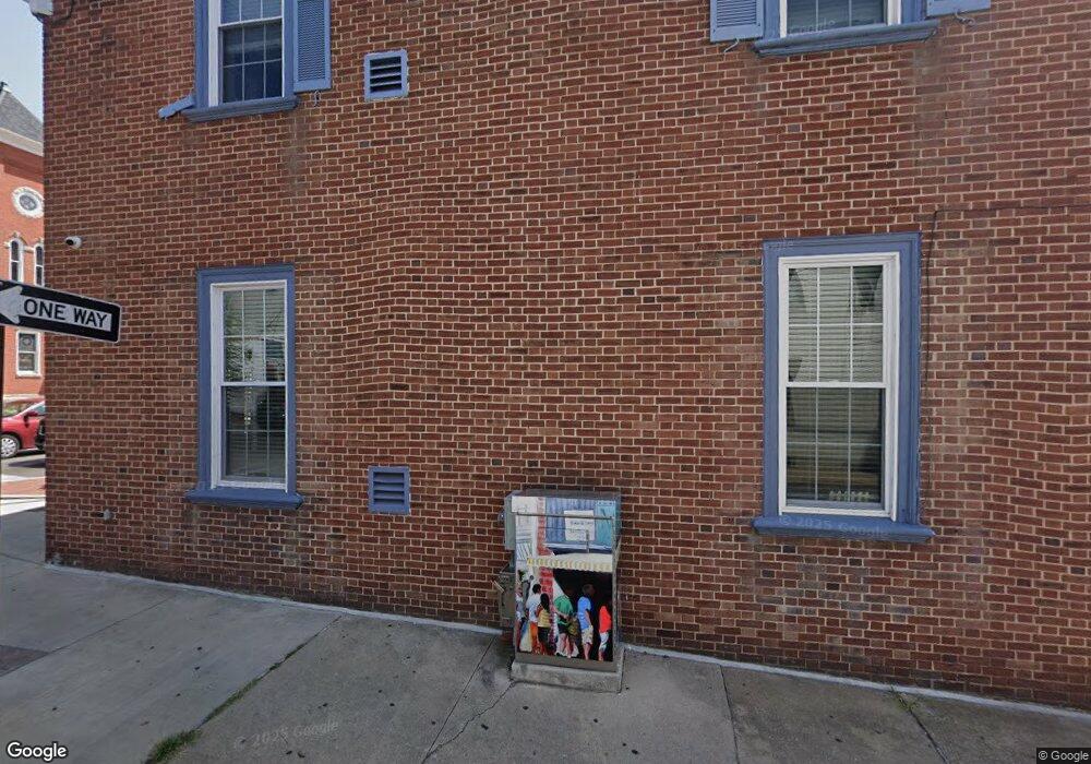
101 E Franklin St Hagerstown, MD 21740
Central NeighborhoodEstimated Value: $155,295
Studio
--
Bath
2,310
Sq Ft
$67/Sq Ft
Est. Value
About This Home
This home is located at 101 E Franklin St, Hagerstown, MD 21740 and is currently estimated at $155,295, approximately $67 per square foot. 101 E Franklin St is a home located in Washington County with nearby schools including Ruth Ann Monroe Primary School, Eastern Elementary School, and E. Russell Hicks Middle School.
Ownership History
Date
Name
Owned For
Owner Type
Purchase Details
Closed on
Feb 11, 2019
Sold by
B & S Landholdings Llc
Bought by
Chase Cruz Transportation Llc
Current Estimated Value
Purchase Details
Closed on
Jun 3, 2002
Sold by
Reeder William K and Reeder Iris S
Bought by
Flook Brian L and Flook Shannon L
Purchase Details
Closed on
Jun 29, 2000
Sold by
Penn Clover Associates Llc
Bought by
Reeder William K and Reeder Iris S
Purchase Details
Closed on
Jun 3, 1998
Sold by
Reeder William K
Bought by
Penn Clover Associates Llc
Create a Home Valuation Report for This Property
The Home Valuation Report is an in-depth analysis detailing your home's value as well as a comparison with similar homes in the area
Home Values in the Area
Average Home Value in this Area
Purchase History
| Date | Buyer | Sale Price | Title Company |
|---|---|---|---|
| Chase Cruz Transportation Llc | $92,500 | King Title Co Inc | |
| Flook Brian L | $85,000 | -- | |
| Reeder William K | $100,000 | -- | |
| Penn Clover Associates Llc | $115,000 | -- |
Source: Public Records
Tax History
| Year | Tax Paid | Tax Assessment Tax Assessment Total Assessment is a certain percentage of the fair market value that is determined by local assessors to be the total taxable value of land and additions on the property. | Land | Improvement |
|---|---|---|---|---|
| 2025 | $892 | $97,900 | $50,000 | $47,900 |
| 2024 | $892 | $97,867 | $0 | $0 |
| 2023 | $891 | $97,833 | $0 | $0 |
| 2022 | $891 | $97,800 | $50,000 | $47,800 |
| 2021 | $980 | $97,800 | $50,000 | $47,800 |
| 2020 | $910 | $97,800 | $50,000 | $47,800 |
| 2019 | $1,043 | $111,600 | $50,000 | $61,600 |
| 2018 | $1,281 | $108,667 | $0 | $0 |
| 2017 | $961 | $105,733 | $0 | $0 |
| 2016 | -- | $102,800 | $0 | $0 |
| 2015 | -- | $102,800 | $0 | $0 |
| 2014 | $2,674 | $102,800 | $0 | $0 |
Source: Public Records
Map
Nearby Homes
- 115 East Ave
- 119 N Mulberry St
- 200 E Franklin St
- 142 East Ave
- 207 N Mulberry St
- 25 S Locust St
- 212 N Mulberry St
- 133 Randolph Ave
- 16 S Mulberry St
- 132 Randolph Ave
- 301 N Mulberry St Unit 301303
- 200 E Antietam St
- 137 E Antietam St
- 120 John St
- 22 Bethel St Unit 24
- 39 E North Ave
- 338 Liberty St
- 144 S Locust St
- 140 S Potomac St
- 58 Bethel St
- 44 N Locust St
- 105 E Franklin St
- 107 E Franklin St
- 42 N Locust St
- 109 E Franklin St
- 40 N Locust St
- 100 W Franklin St
- 100 W Franklin St Unit 303
- 100 W Franklin St Unit 406
- 100 W Franklin St Unit 301
- 36 N Locust St
- 37 N Locust St
- 108 E Franklin St
- 63 E Franklin St
- 113 E Franklin St Unit B
- 113 E Franklin St
- 32 N Locust St Unit 3234
- 68 E Franklin St
- 35 N Locust St
- 33 N Locust St
Your Personal Tour Guide
Ask me questions while you tour the home.