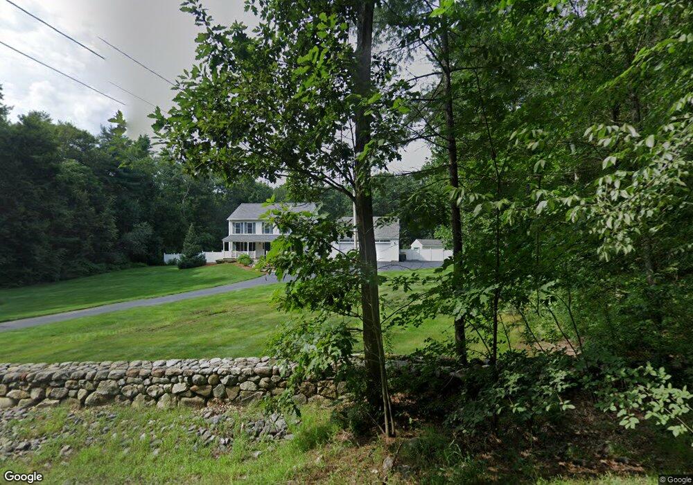
101 Hoit Rd Concord, NH 03301
East Concord NeighborhoodEstimated Value: $608,000 - $669,000
4
Beds
3
Baths
2,128
Sq Ft
$303/Sq Ft
Est. Value
About This Home
This home is located at 101 Hoit Rd, Concord, NH 03301 and is currently estimated at $645,832, approximately $303 per square foot. 101 Hoit Rd is a home located in Merrimack County with nearby schools including Broken Ground School, Rundlett Middle School, and Concord High School.
Ownership History
Date
Name
Owned For
Owner Type
Purchase Details
Closed on
Aug 11, 1995
Bought by
Silvestriadis H Bobby
Current Estimated Value
Create a Home Valuation Report for This Property
The Home Valuation Report is an in-depth analysis detailing your home's value as well as a comparison with similar homes in the area
Home Values in the Area
Average Home Value in this Area
Purchase History
| Date | Buyer | Sale Price | Title Company |
|---|---|---|---|
| Silvestriadis H Bobby | $37,500 | -- |
Source: Public Records
Mortgage History
| Date | Status | Borrower | Loan Amount |
|---|---|---|---|
| Open | Silvestriadis H Bobby | $279,000 | |
| Closed | Silvestriadis H Bobby | $215,000 | |
| Closed | Silvestriadis H Bobby | $25,000 | |
| Closed | Silvestriadis H Bobby | $233,000 |
Source: Public Records
Tax History
| Year | Tax Paid | Tax Assessment Tax Assessment Total Assessment is a certain percentage of the fair market value that is determined by local assessors to be the total taxable value of land and additions on the property. | Land | Improvement |
|---|---|---|---|---|
| 2025 | $11,641 | $399,900 | $117,400 | $282,500 |
| 2024 | $11,073 | $399,900 | $117,400 | $282,500 |
| 2023 | $10,741 | $399,900 | $117,400 | $282,500 |
| 2022 | $10,353 | $399,900 | $117,400 | $282,500 |
| 2021 | $10,045 | $399,900 | $117,400 | $282,500 |
| 2020 | $10,592 | $395,800 | $95,800 | $300,000 |
| 2019 | $10,287 | $370,300 | $91,800 | $278,500 |
| 2018 | $9,821 | $348,400 | $87,600 | $260,800 |
| 2017 | $9,746 | $345,100 | $87,600 | $257,500 |
| 2016 | $9,020 | $326,000 | $85,800 | $240,200 |
| 2015 | $8,877 | $316,600 | $83,400 | $233,200 |
| 2014 | $8,488 | $316,600 | $83,400 | $233,200 |
| 2013 | -- | $278,500 | $83,400 | $195,100 |
| 2012 | -- | $267,800 | $87,600 | $180,200 |
Source: Public Records
Map
Nearby Homes
- 540 Mountain Rd
- 183 Hoit Rd
- 6 Old Boyce Rd
- 123 Sewalls Falls Rd
- 127 Sewalls Falls Rd
- 70 Abbott Rd
- 59 Hobart St
- 125 Sewalls Falls Rd
- 145 Abbott Rd
- 117 Sewalls Falls Rd
- 0 Sewalls Falls & Abbott Rd Unit Multiple
- 37 Woodbine Ave
- 12 Cross St Unit 201
- 4 Bellflower Cir
- 105 Sewalls Falls Rd
- 56 Second St
- 120 Fisherville Rd Unit 176
- 13 Suffolk Rd Unit 5
- 13 Suffolk Rd Unit 4
- 13 Suffolk Rd Unit 8
Your Personal Tour Guide
Ask me questions while you tour the home.