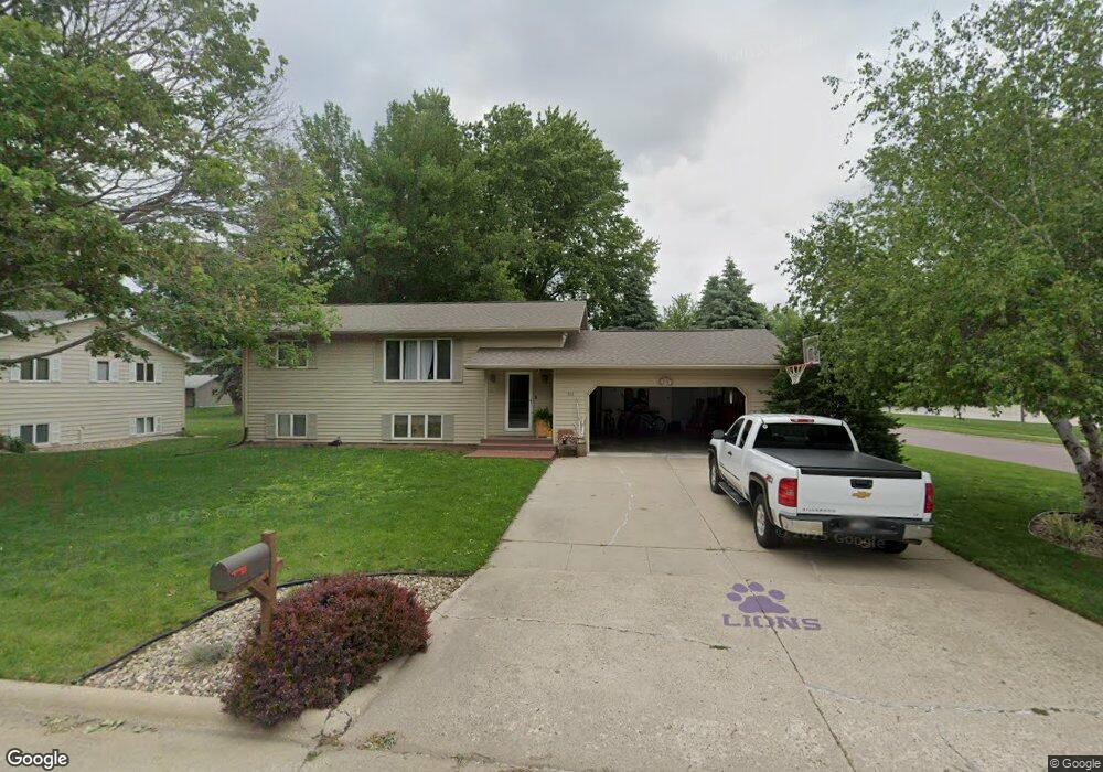
101 Oleary Ln Rock Rapids, IA 51246
Estimated Value: $216,000 - $245,000
--
Bed
--
Bath
988
Sq Ft
$231/Sq Ft
Est. Value
About This Home
This home is located at 101 Oleary Ln, Rock Rapids, IA 51246 and is currently estimated at $228,564, approximately $231 per square foot. 101 Oleary Ln is a home located in Lyon County with nearby schools including Central Lyon Elementary School, Central Lyon Senior High School, and Ignite Christian Academy.
Ownership History
Date
Name
Owned For
Owner Type
Purchase Details
Closed on
May 15, 2015
Sold by
Sohl Arlene M and Sohl Brian L
Bought by
Kelly James L and Kelly Jason P
Current Estimated Value
Home Financials for this Owner
Home Financials are based on the most recent Mortgage that was taken out on this home.
Original Mortgage
$118,400
Outstanding Balance
$91,672
Interest Rate
3.82%
Mortgage Type
New Conventional
Estimated Equity
$136,892
Create a Home Valuation Report for This Property
The Home Valuation Report is an in-depth analysis detailing your home's value as well as a comparison with similar homes in the area
Home Values in the Area
Average Home Value in this Area
Purchase History
| Date | Buyer | Sale Price | Title Company |
|---|---|---|---|
| Kelly James L | $148,000 | None Available |
Source: Public Records
Mortgage History
| Date | Status | Borrower | Loan Amount |
|---|---|---|---|
| Open | Kelly James L | $118,400 |
Source: Public Records
Tax History Compared to Growth
Tax History
| Year | Tax Paid | Tax Assessment Tax Assessment Total Assessment is a certain percentage of the fair market value that is determined by local assessors to be the total taxable value of land and additions on the property. | Land | Improvement |
|---|---|---|---|---|
| 2025 | $2,738 | $211,950 | $29,900 | $182,050 |
| 2024 | $2,738 | $189,660 | $29,900 | $159,760 |
| 2023 | $2,594 | $190,180 | $29,900 | $160,280 |
| 2022 | $2,332 | $146,650 | $29,900 | $116,750 |
| 2021 | $2,332 | $146,650 | $29,900 | $116,750 |
| 2020 | $2,110 | $122,890 | $0 | $0 |
| 2019 | $2,382 | $122,890 | $0 | $0 |
| 2018 | $2,382 | $122,890 | $0 | $0 |
| 2017 | $2,336 | $109,600 | $0 | $0 |
| 2016 | $2,098 | $109,600 | $0 | $0 |
| 2015 | $2,098 | $113,094 | $0 | $0 |
| 2014 | -- | $113,094 | $0 | $0 |
Source: Public Records
Map
Nearby Homes
- 811 S Carroll St
- 1011 S Marshall St
- 903 S Jansen St
- 706 S 9th Ave
- 1002 S Tama St
- 610 S Carroll St
- 606 S Carroll St
- 507 S Greene St
- 1100 S 6th Ave
- 204 S 15th Ave
- 1102 S 6th Ave
- 1006 S 6th Ave
- 1002 S 6th Ave
- 406 S Adams St
- 410 S Union St
- 1004 S 6th Ave
- 1104 S 6th Ave
- 307 S Union St
- 206 S Marshall St
- 803 Mill Pond Rd
- 103 Oleary Ln
- 502 S 10th Ave
- 100 Oleary Ln
- 102 Oleary Ln
- 105 Oleary Ln
- 504 S 10th Ave
- 107 Oleary Ln
- 104 Oleary Ln
- 911 S Greene St
- 506 S 10th Ave
- 505 S 10th Ave
- 912 S Greene St
- 1002 S Carroll St
- 1004 S Carroll St
- 909 S Greene St
- 1000 S Carroll St
- 1006 S Carroll St
- 504 S Grant Dr
- 910 S Greene St
- 507 S 10th Ave