Estimated Value: $489,072 - $574,000
3
Beds
2
Baths
1,700
Sq Ft
$309/Sq Ft
Est. Value
About This Home
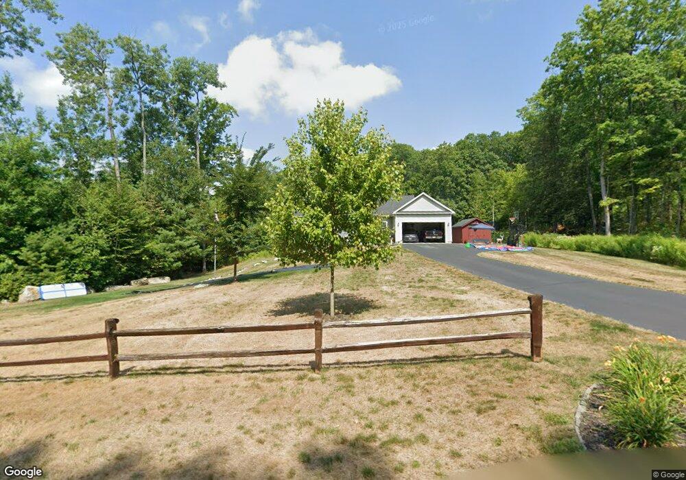
This home is located at 101 Pheasant Ln, Athol, MA 01331 and is currently estimated at $526,018, approximately $309 per square foot. 101 Pheasant Ln is a home with nearby schools including Athol High School.
Ownership History
Date
Name
Owned For
Owner Type
Purchase Details
Closed on
Jan 6, 2025
Sold by
Meuse Andrew
Bought by
Meuse Andrew W and Meuse Christina J
Current Estimated Value
Purchase Details
Closed on
Dec 5, 2019
Sold by
Dodge Contracting Llc
Bought by
Rhodes Justin and Rhodes Alyssa
Purchase Details
Closed on
Nov 30, 2018
Sold by
Dodge Contracting Llc
Bought by
Meuse Andrew
Home Financials for this Owner
Home Financials are based on the most recent Mortgage that was taken out on this home.
Original Mortgage
$371,500
Interest Rate
4.8%
Mortgage Type
VA
Create a Home Valuation Report for This Property
The Home Valuation Report is an in-depth analysis detailing your home's value as well as a comparison with similar homes in the area
Home Values in the Area
Average Home Value in this Area
Purchase History
| Date | Buyer | Sale Price | Title Company |
|---|---|---|---|
| Meuse Andrew W | -- | None Available | |
| Meuse Andrew W | -- | None Available | |
| Rhodes Justin | $339,900 | None Available | |
| Meuse Andrew | $371,500 | -- |
Source: Public Records
Mortgage History
| Date | Status | Borrower | Loan Amount |
|---|---|---|---|
| Previous Owner | Meuse Andrew | $371,500 |
Source: Public Records
Tax History
| Year | Tax Paid | Tax Assessment Tax Assessment Total Assessment is a certain percentage of the fair market value that is determined by local assessors to be the total taxable value of land and additions on the property. | Land | Improvement |
|---|---|---|---|---|
| 2025 | $6,525 | $513,400 | $73,200 | $440,200 |
| 2024 | $6,415 | $500,000 | $73,200 | $426,800 |
| 2023 | $6,311 | $449,500 | $53,200 | $396,300 |
| 2022 | $6,038 | $376,200 | $50,700 | $325,500 |
| 2021 | $6,130 | $347,100 | $46,100 | $301,000 |
| 2020 | $5,858 | $341,000 | $42,100 | $298,900 |
| 2019 | $689 | $39,500 | $39,500 | $0 |
| 2018 | $703 | $35,900 | $35,900 | $0 |
| 2017 | $732 | $35,900 | $35,900 | $0 |
| 2016 | $712 | $35,900 | $35,900 | $0 |
| 2015 | $683 | $35,900 | $35,900 | $0 |
| 2014 | $662 | $35,900 | $35,900 | $0 |
Source: Public Records
Map
Nearby Homes
- 151 Pheasant Ln
- 10 Pheasant Ln
- 5 Pheasant Ln
- 9 Pheasant Ln
- 4 Pheasant Ln
- Lot 185 Pheasant Ln
- Lot 184 Pheasant Ln
- Lot 183 Pheasant Ln
- Lot 180 Pheasant Ln
- 80 Pheasant Ln
- 43 Pheasant Ln
- 122 Pheasant Ln
- 172 Pheasant Ln
- 154 Pheasant Ln
- 720 Old Keene Rd
- 780 Old Keene Rd
- 1121 Silver Lake St
- 1105 Silver Lake St
- 584 Old Keene Rd
- 779 Old Keene Rd
Your Personal Tour Guide
Ask me questions while you tour the home.