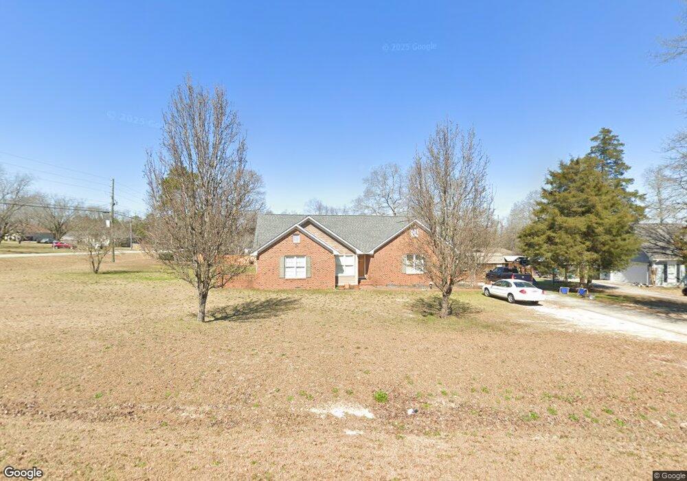
101 Wellston Cir Warner Robins, GA 31093
Estimated Value: $259,000 - $302,000
3
Beds
3
Baths
1,824
Sq Ft
$152/Sq Ft
Est. Value
About This Home
This home is located at 101 Wellston Cir, Warner Robins, GA 31093 and is currently estimated at $277,183, approximately $151 per square foot. 101 Wellston Cir is a home located in Houston County with nearby schools including Northside Elementary School, Thomson Middle School, and Northside High School.
Ownership History
Date
Name
Owned For
Owner Type
Purchase Details
Closed on
Apr 18, 2003
Sold by
Osgood Paul Daniel and Osgood Tammy L
Bought by
Davis Barry K and Davis Judy C
Current Estimated Value
Purchase Details
Closed on
Apr 29, 1994
Sold by
Morgan Elijah and Morgan Phyllis S
Bought by
Osgood Paul Daniel and Osgood Tammy S
Purchase Details
Closed on
Feb 10, 1989
Sold by
Joyner Truck Sale Inc
Bought by
Morgan Elijah and Morgan Phyllis S
Create a Home Valuation Report for This Property
The Home Valuation Report is an in-depth analysis detailing your home's value as well as a comparison with similar homes in the area
Home Values in the Area
Average Home Value in this Area
Purchase History
| Date | Buyer | Sale Price | Title Company |
|---|---|---|---|
| Davis Barry K | $129,900 | -- | |
| Osgood Paul Daniel | $99,200 | -- | |
| Morgan Elijah | -- | -- |
Source: Public Records
Tax History Compared to Growth
Tax History
| Year | Tax Paid | Tax Assessment Tax Assessment Total Assessment is a certain percentage of the fair market value that is determined by local assessors to be the total taxable value of land and additions on the property. | Land | Improvement |
|---|---|---|---|---|
| 2024 | $1,978 | $84,680 | $8,400 | $76,280 |
| 2023 | $1,616 | $68,840 | $8,400 | $60,440 |
| 2022 | $1,462 | $62,480 | $8,400 | $54,080 |
| 2021 | $1,332 | $56,840 | $7,600 | $49,240 |
| 2020 | $1,208 | $51,480 | $7,600 | $43,880 |
| 2019 | $1,208 | $51,480 | $7,600 | $43,880 |
| 2018 | $1,208 | $51,480 | $7,600 | $43,880 |
| 2017 | $1,209 | $51,480 | $7,600 | $43,880 |
| 2016 | $1,211 | $51,480 | $7,600 | $43,880 |
| 2015 | $1,213 | $51,480 | $7,600 | $43,880 |
| 2014 | -- | $51,480 | $7,600 | $43,880 |
| 2013 | -- | $51,480 | $7,600 | $43,880 |
Source: Public Records
Map
Nearby Homes
- 315 Silver Cir
- 411 High View Way
- 306 Antebellum Cir
- 211 River Birch Way
- 207 Longleaf Dr
- 102 Winged Elm Grove
- 205 Longleaf Dr
- 214 River Birch Way
- 204 River Birch Way
- 104 Winged Elm Grove
- 4001 U S 41 Unit LOT 65
- 318 Air View Dr Unit 10
- Magnolia Plan at Ridgeview
- 320 Air View Dr Unit 11
- 317 Air View Dr
- 310 Air View Dr Unit 6
- 304 Air View Dr Unit 3
- 304 Air View Dr
- Aspen Plan at Ridgeview
- 317 Air View Dr Unit 15
- 103 Wellston Cir
- 137 Wellston Cir
- 135 Wellston Cir
- 100 Wellston Cir
- 105 Wellston Cir
- 133 Wellston Cir
- 1705 N Houston Lake Blvd
- 1613 N Houston Lake Blvd
- 1617 N Houston Lake Blvd
- 131 Wellston Cir
- 101 Silver Cir
- 138 Wellston Cir
- 107 Wellston Cir
- 1611 N Houston Lake Blvd
- 136 Wellston Cir
- 140 Wellston Cir
- 134 Wellston Cir
- 105 Silver Cir
- 0 Silver Cir Unit 8411570
- 100 Silver Cir