101 Wood Rd Gorham, ME 04038
Estimated Value: $747,000 - $868,025
5
Beds
2
Baths
2,935
Sq Ft
$279/Sq Ft
Est. Value
About This Home
This home is located at 101 Wood Rd, Gorham, ME 04038 and is currently estimated at $817,506, approximately $278 per square foot. 101 Wood Rd is a home with nearby schools including Village Elementary School, Gorham Middle School, and Gorham High School.
Ownership History
Date
Name
Owned For
Owner Type
Purchase Details
Closed on
Apr 29, 2024
Sold by
Allen Charles W and Allen Bernice P
Bought by
Tucker William J and Tucker Ann F
Current Estimated Value
Purchase Details
Closed on
Jan 2, 2007
Sold by
Sweester Childrens Svcs
Bought by
Jr William J Tucke and Tucker Ann F
Create a Home Valuation Report for This Property
The Home Valuation Report is an in-depth analysis detailing your home's value as well as a comparison with similar homes in the area
Home Values in the Area
Average Home Value in this Area
Purchase History
| Date | Buyer | Sale Price | Title Company |
|---|---|---|---|
| Tucker William J | -- | None Available | |
| Jr William J Tucke | -- | -- |
Source: Public Records
Mortgage History
| Date | Status | Borrower | Loan Amount |
|---|---|---|---|
| Previous Owner | Jr William J Tucke | $50,000 |
Source: Public Records
Tax History
| Year | Tax Paid | Tax Assessment Tax Assessment Total Assessment is a certain percentage of the fair market value that is determined by local assessors to be the total taxable value of land and additions on the property. | Land | Improvement |
|---|---|---|---|---|
| 2025 | $9,173 | $619,800 | $137,400 | $482,400 |
| 2024 | $9,111 | $619,800 | $137,400 | $482,400 |
| 2023 | $8,522 | $619,800 | $137,400 | $482,400 |
| 2022 | $7,964 | $619,800 | $137,400 | $482,400 |
| 2021 | $6,109 | $314,900 | $73,500 | $241,400 |
| 2020 | $5,983 | $314,900 | $73,500 | $241,400 |
| 2019 | $5,967 | $314,900 | $73,500 | $241,400 |
| 2018 | $5,731 | $314,900 | $73,500 | $241,400 |
| 2017 | $5,385 | $314,900 | $73,500 | $241,400 |
| 2016 | $5,353 | $314,900 | $73,500 | $241,400 |
| 2015 | $5,120 | $314,100 | $72,700 | $241,400 |
| 2014 | $4,961 | $285,100 | $66,800 | $218,300 |
| 2013 | $4,932 | $285,100 | $66,800 | $218,300 |
Source: Public Records
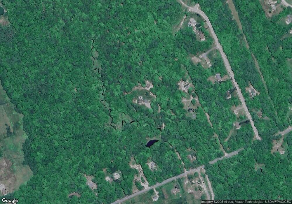
Map
Nearby Homes
- 35 Rust Rd
- 16 Daniel St
- 4 Musket Dr
- 866 Parker Farm Rd Unit A
- 866 Parker Farm Rd Unit B
- 866 Parker Farm Lot B Rd
- 866 Parker Farm Lot A Rd
- 207 Dunnell Rd
- 82 Carll Rd
- 16 Norway Rd
- 30 Joan Dixon Way
- 84 Falcon Crest Dr Unit 13
- 17 Boreal Dr
- 30 Boreal Dr
- 127 Falcon Crest Dr Unit 4
- 52 Morrill Ave
- 15 Green St
- 12 Strouts Way
- 8 Martin Dr
- 42 Brandons Way
Your Personal Tour Guide
Ask me questions while you tour the home.