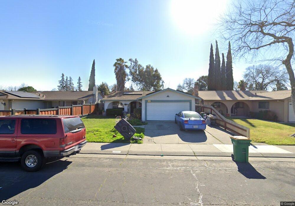
1010 Burns Way Stockton, CA 95209
Stonewood NeighborhoodEstimated Value: $220,000 - $410,142
4
Beds
2
Baths
1,202
Sq Ft
$297/Sq Ft
Est. Value
About This Home
This home is located at 1010 Burns Way, Stockton, CA 95209 and is currently estimated at $357,536, approximately $297 per square foot. 1010 Burns Way is a home located in San Joaquin County with nearby schools including Colonial Heights School, Sierra Middle School, and Lincoln High School.
Ownership History
Date
Name
Owned For
Owner Type
Purchase Details
Closed on
Apr 23, 2019
Sold by
Whitaker Randy and Whitaker Morayma
Bought by
Bonilla Francisco and Nilson Kristen
Current Estimated Value
Home Financials for this Owner
Home Financials are based on the most recent Mortgage that was taken out on this home.
Original Mortgage
$8,050
Outstanding Balance
$7,077
Interest Rate
4.3%
Mortgage Type
Commercial
Estimated Equity
$350,459
Purchase Details
Closed on
Apr 18, 2004
Sold by
Testermen Charles O and Testermen Gayle
Bought by
Whitaker Randy and Whitaker Morayma
Home Financials for this Owner
Home Financials are based on the most recent Mortgage that was taken out on this home.
Original Mortgage
$172,000
Interest Rate
5.39%
Mortgage Type
Purchase Money Mortgage
Create a Home Valuation Report for This Property
The Home Valuation Report is an in-depth analysis detailing your home's value as well as a comparison with similar homes in the area
Home Values in the Area
Average Home Value in this Area
Purchase History
| Date | Buyer | Sale Price | Title Company |
|---|---|---|---|
| Bonilla Francisco | $230,000 | First American Title Company | |
| Whitaker Randy | $215,909 | Chicago Title Co |
Source: Public Records
Mortgage History
| Date | Status | Borrower | Loan Amount |
|---|---|---|---|
| Open | Bonilla Francisco | $8,050 | |
| Previous Owner | Whitaker Randy | $172,000 |
Source: Public Records
Tax History Compared to Growth
Tax History
| Year | Tax Paid | Tax Assessment Tax Assessment Total Assessment is a certain percentage of the fair market value that is determined by local assessors to be the total taxable value of land and additions on the property. | Land | Improvement |
|---|---|---|---|---|
| 2025 | $3,063 | $256,564 | $66,929 | $189,635 |
| 2024 | $3,001 | $251,534 | $65,617 | $185,917 |
| 2023 | $2,981 | $246,603 | $64,331 | $182,272 |
| 2022 | $2,937 | $241,769 | $63,070 | $178,699 |
| 2021 | $2,899 | $237,030 | $61,834 | $175,196 |
| 2020 | $2,898 | $234,600 | $61,200 | $173,400 |
| 2019 | $3,053 | $247,500 | $60,000 | $187,500 |
| 2018 | $2,469 | $196,000 | $60,000 | $136,000 |
| 2017 | $2,544 | $203,000 | $60,000 | $143,000 |
| 2016 | $2,324 | $182,000 | $54,000 | $128,000 |
| 2014 | $1,838 | $138,000 | $41,000 | $97,000 |
Source: Public Records
Map
Nearby Homes
- 948 Macduff Ave
- 8324 Rothesay Place
- 8160 Encino Ave
- 8518 Burns Place
- 8350 Encino Ave
- 8306 Galloway Dr
- 1355 Paloma Ave
- 764 Macduff Ave
- 8603 Acapulco Way
- 8441 Skye Dr
- 8715 Eastwood Ct
- 8013 El Cajon St
- 610 Highmoor Ave
- 1328 Woodmont Way
- 8011 N Pershing Ave
- 1617 Seville Ave
- 811 San Miguel Ave
- 939 Goldenoak Way
- 1629 Cortez Ave
- 916 Springoak Way
- 1014 Burns Way
- 1006 Burns Way
- 1021 Katherine Way
- 1018 Burns Way
- 1002 Burns Way
- 1015 Katherine Way
- 1029 Katherine Way
- 1022 Burns Way
- 1011 Burns Way
- 8214 Encino Ave
- 1007 Burns Way
- 1015 Burns Way
- 1003 Burns Way
- 1019 Burns Way
- 1026 Burns Way
- 1028 Katherine Way
- 8302 Encino Ave
- 8210 Encino Ave
- 1023 Burns Way
- 8248 Tarbat St