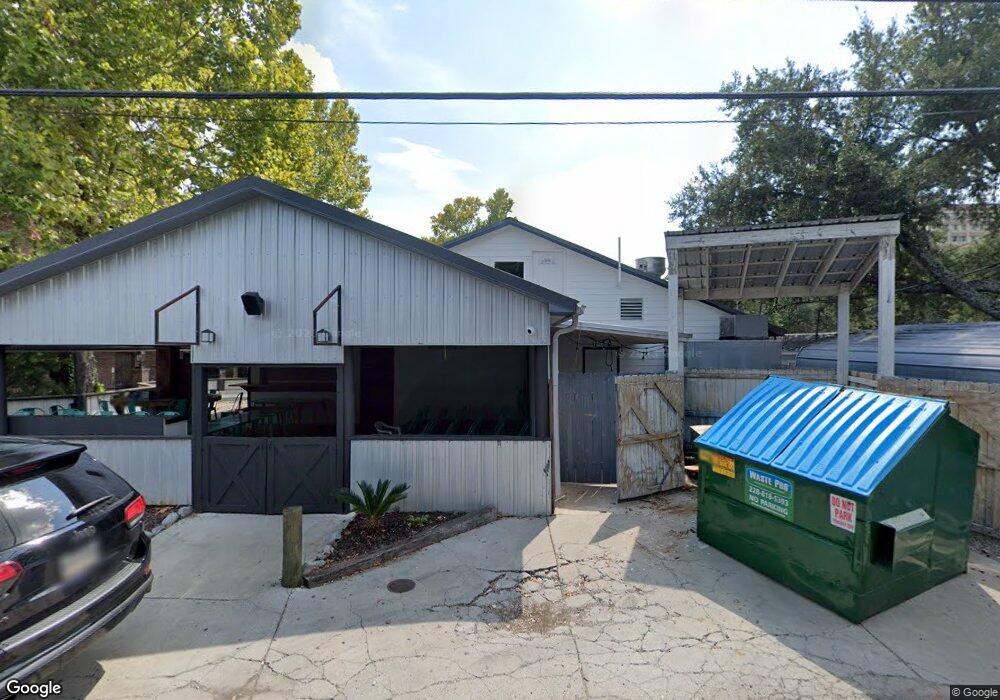
1010 Desoto St Ocean Springs, MS 39564
Estimated Value: $122,908 - $318,000
--
Bed
--
Bath
462
Sq Ft
$524/Sq Ft
Est. Value
About This Home
This home is located at 1010 Desoto St, Ocean Springs, MS 39564 and is currently estimated at $241,977, approximately $523 per square foot. 1010 Desoto St is a home with nearby schools including Oak Park Elementary School, Ocean Springs Middle School, and Ocean Springs High School.
Ownership History
Date
Name
Owned For
Owner Type
Purchase Details
Closed on
Feb 8, 2016
Sold by
Guice Tanya and Cvitanovich Tanya Ann
Bought by
Vermillion Angela
Current Estimated Value
Home Financials for this Owner
Home Financials are based on the most recent Mortgage that was taken out on this home.
Original Mortgage
$275,000
Outstanding Balance
$141,978
Interest Rate
3.97%
Mortgage Type
Land Contract Argmt. Of Sale
Estimated Equity
$99,999
Create a Home Valuation Report for This Property
The Home Valuation Report is an in-depth analysis detailing your home's value as well as a comparison with similar homes in the area
Home Values in the Area
Average Home Value in this Area
Purchase History
| Date | Buyer | Sale Price | Title Company |
|---|---|---|---|
| Vermillion Angela | -- | None Available |
Source: Public Records
Mortgage History
| Date | Status | Borrower | Loan Amount |
|---|---|---|---|
| Open | Vermillion Angela | $275,000 |
Source: Public Records
Tax History Compared to Growth
Tax History
| Year | Tax Paid | Tax Assessment Tax Assessment Total Assessment is a certain percentage of the fair market value that is determined by local assessors to be the total taxable value of land and additions on the property. | Land | Improvement |
|---|---|---|---|---|
| 2024 | $400 | $2,776 | $312 | $2,464 |
| 2023 | $400 | $2,776 | $312 | $2,464 |
| 2022 | $405 | $2,776 | $312 | $2,464 |
| 2021 | $407 | $2,829 | $312 | $2,517 |
| 2020 | $360 | $2,473 | $275 | $2,198 |
| 2019 | $358 | $2,473 | $275 | $2,198 |
| 2018 | $357 | $2,473 | $275 | $2,198 |
| 2017 | $338 | $2,348 | $275 | $2,073 |
| 2016 | $331 | $2,348 | $275 | $2,073 |
| 2015 | $311 | $14,410 | $1,830 | $12,580 |
| 2014 | -- | $1,441 | $183 | $1,258 |
| 2013 | -- | $1,659 | $183 | $1,476 |
Source: Public Records
Map
Nearby Homes
- 1115 Desoto St
- 1112 Robinson St
- 609 Russell Ave
- 1309 Bowen Ave
- 605 Russell Ave
- 1306 Bowen Ave
- 1204 Porter Ave
- 818 Handy Ave
- 824 Handy Ave
- 922 Porter Ave Unit 208
- 922 Porter Ave Unit 211
- 428 Dewey Ave
- 1419 Porter Ave
- 1515 Government St Unit A304
- 1203 Calhoun St
- 319 Washington Ave
- 717 Bienville Blvd Unit B5
- 717 Bienville Blvd Unit B2
- 416 Jackson Ave
- 516 Porter Ave
- 1013 Government St
- 1019 Government St Unit G
- 1019 Government St
- 1019 Government St Unit Suite E & F
- 1019 Government St Unit STE E
- 1019 Government St Unit C Or D
- 1019 Government St Unit C & D
- 1019 Government St Unit F Or G
- 1019 Government St Unit F & G
- 1019 Government St Unit Suite H
- 1018 Government St
- 1010 Government St
- 1009 Desoto St
- 918A 918 Washington Ave Unit A
- 914 Washington Ave
- 918 Washington Ave
- 1101 Bowen Ave
- 1006 Robinson St
- 1105 Desoto St
- 918 Washington Ave