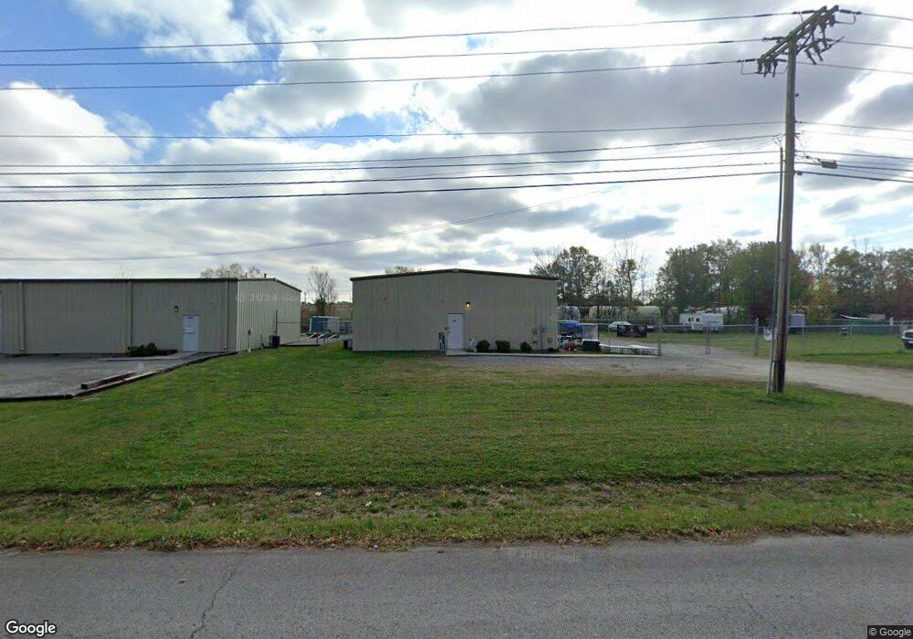
1010 E Decherd St Tullahoma, TN 37388
Estimated Value: $227,728
Studio
1
Bath
2,400
Sq Ft
$95/Sq Ft
Est. Value
About This Home
This home is located at 1010 E Decherd St, Tullahoma, TN 37388 and is currently priced at $227,728, approximately $94 per square foot. 1010 E Decherd St is a home located in Coffee County with nearby schools including Tullahoma High School, Tullahoma Christian Academy, and Highland Rim Christian Academy.
Ownership History
Date
Name
Owned For
Owner Type
Purchase Details
Closed on
Apr 13, 2023
Sold by
Butler K Michael K and Butler Michele
Bought by
Boggs Danny Jared and Boggs Samantha
Current Estimated Value
Home Financials for this Owner
Home Financials are based on the most recent Mortgage that was taken out on this home.
Original Mortgage
$187,500
Outstanding Balance
$174,838
Interest Rate
6.65%
Mortgage Type
New Conventional
Purchase Details
Closed on
Mar 15, 2017
Sold by
Randall Tomberlain J
Bought by
Michael Butler K and Butler Michele
Home Financials for this Owner
Home Financials are based on the most recent Mortgage that was taken out on this home.
Original Mortgage
$94,400
Interest Rate
4.15%
Mortgage Type
Commercial
Purchase Details
Closed on
Feb 28, 2005
Sold by
Killen Ronnie L
Bought by
Randall Tomberlain J
Create a Home Valuation Report for This Property
The Home Valuation Report is an in-depth analysis detailing your home's value as well as a comparison with similar homes in the area
Purchase History
| Date | Buyer | Sale Price | Title Company |
|---|---|---|---|
| Boggs Danny Jared | $187,500 | None Listed On Document | |
| Michael Butler K | $118,000 | -- | |
| Randall Tomberlain J | $24,000 | -- |
Source: Public Records
Mortgage History
| Date | Status | Borrower | Loan Amount |
|---|---|---|---|
| Open | Boggs Danny Jared | $187,500 | |
| Previous Owner | Michael Butler K | $94,400 |
Source: Public Records
Tax History
| Year | Tax Paid | Tax Assessment Tax Assessment Total Assessment is a certain percentage of the fair market value that is determined by local assessors to be the total taxable value of land and additions on the property. | Land | Improvement |
|---|---|---|---|---|
| 2025 | $1,647 | $42,160 | $10,360 | $31,800 |
| 2024 | $1,647 | $42,160 | $10,360 | $31,800 |
| 2023 | $1,647 | $42,160 | $0 | $0 |
| 2022 | $1,690 | $42,160 | $10,360 | $31,800 |
| 2021 | $1,967 | $39,240 | $8,720 | $30,520 |
| 2020 | $1,967 | $39,240 | $8,720 | $30,520 |
| 2019 | $1,967 | $39,240 | $8,720 | $30,520 |
| 2018 | $1,967 | $39,240 | $8,720 | $30,520 |
| 2017 | $1,968 | $36,000 | $8,000 | $28,000 |
| 2016 | $1,969 | $36,000 | $8,000 | $28,000 |
| 2015 | $1,969 | $36,000 | $8,000 | $28,000 |
| 2014 | $1,969 | $36,001 | $0 | $0 |
Source: Public Records
Map
Nearby Homes
- 312 Gentry St
- 312 Union St
- 308 Union St
- 1101 E Lauderdale St
- 604 E Decherd St
- 604 E Warren St
- 804 E Grundy St
- 502 E Monroe St
- 1416 E Lincoln St
- 604 E Moore St
- 412 E Grundy St
- 305 S Polk St
- 805 E Grizzard St
- 406 N College St
- 1200 Harton Blvd
- 1609 E Lincoln St
- 606 Rickenbacker Dr
- 302 N Polk St
- 136 Ham St
- 215 N Washington St
Your Personal Tour Guide
Ask me questions while you tour the home.