1010 Gail Farrell Dr Durant, OK 74701
Estimated Value: $660,000 - $690,000
4
Beds
7
Baths
4,893
Sq Ft
$139/Sq Ft
Est. Value
About This Home
This home is located at 1010 Gail Farrell Dr, Durant, OK 74701 and is currently estimated at $678,873, approximately $138 per square foot. 1010 Gail Farrell Dr is a home located in Bryan County with nearby schools including Northwest Heights Elementary School, Washington Irving Elementary School, and Durant Intermediate Elementary School.
Ownership History
Date
Name
Owned For
Owner Type
Purchase Details
Closed on
Nov 29, 2012
Sold by
Mickle Billy A and Mickle Fran
Bought by
Cole Adam and Cole Ingrid
Current Estimated Value
Home Financials for this Owner
Home Financials are based on the most recent Mortgage that was taken out on this home.
Original Mortgage
$500,000
Outstanding Balance
$221,341
Interest Rate
3.4%
Mortgage Type
New Conventional
Estimated Equity
$457,532
Purchase Details
Closed on
Sep 25, 2001
Sold by
Tucker Jimmy D and Tucker Melinda M
Bought by
Mickle Billy A and Mickle Fran
Purchase Details
Closed on
Jul 23, 1997
Sold by
Morrison Micheal and Morrison Anita
Bought by
Mickle Billy A and Mickle Fran
Create a Home Valuation Report for This Property
The Home Valuation Report is an in-depth analysis detailing your home's value as well as a comparison with similar homes in the area
Home Values in the Area
Average Home Value in this Area
Purchase History
| Date | Buyer | Sale Price | Title Company |
|---|---|---|---|
| Cole Adam | $575,000 | None Available | |
| Mickle Billy A | -- | None Available | |
| Mickle Billy A | $45,000 | -- |
Source: Public Records
Mortgage History
| Date | Status | Borrower | Loan Amount |
|---|---|---|---|
| Open | Cole Adam | $500,000 |
Source: Public Records
Tax History Compared to Growth
Tax History
| Year | Tax Paid | Tax Assessment Tax Assessment Total Assessment is a certain percentage of the fair market value that is determined by local assessors to be the total taxable value of land and additions on the property. | Land | Improvement |
|---|---|---|---|---|
| 2024 | $6,650 | $68,286 | $5,379 | $62,907 |
| 2023 | $6,650 | $65,035 | $5,379 | $59,656 |
| 2022 | $6,105 | $65,035 | $5,379 | $59,656 |
| 2021 | $6,256 | $65,035 | $5,379 | $59,656 |
| 2020 | $6,247 | $65,035 | $5,379 | $59,656 |
| 2019 | $5,736 | $63,257 | $3,097 | $60,160 |
| 2018 | $5,684 | $63,251 | $8,069 | $55,182 |
| 2017 | $5,648 | $63,251 | $8,069 | $55,182 |
| 2016 | $5,696 | $63,251 | $8,069 | $55,182 |
| 2015 | $5,674 | $63,250 | $6,930 | $56,320 |
| 2014 | $5,668 | $63,250 | $6,930 | $56,320 |
Source: Public Records
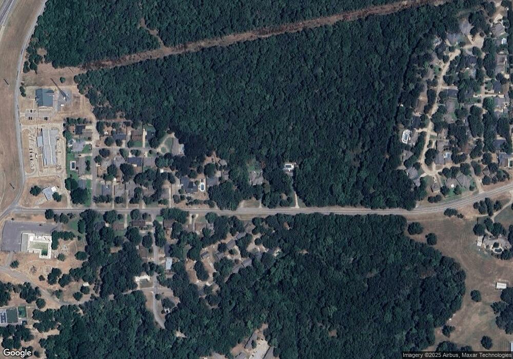
Map
Nearby Homes
- 905 Brookside Dr
- 1110 Ada St
- 927 Crooked Oak Dr
- 906 Briarwood Place
- 001 N Washington Ave
- 824 Wilson St
- 988 Wilson St
- 1107 Wilson St
- 114 Wilson Loop
- 0 Wilson St
- 1003 Four Seasons Dr
- 1019 Four Seasons Dr
- 0 N Washington Ave
- 00 Ed F Davis Rd
- 00031 Ed F Davis Rd
- 00030 Ed F Davis Rd
- 1832 Red Fox Rd
- 1715 Worley St
- 4001 N Washington Ave
- 204 Wilson St
- 1012 Gail Farrell Dr
- 800 Gail Farrell Dr
- 902 Brookside Dr
- 900 Brookside Dr
- 1016 Gail Farrell Dr
- 904 Brookside Dr
- 901 Brookside Dr
- 919 Gail Farrell Dr
- 1020 Gail Farrell Dr
- 921 Gail Farrell Dr
- 903 Brookside Dr
- 1002 Brookside Dr
- 1001 Gail Farrell Dr
- 1100 Ada St
- 907 Brookside Dr
- 1003 Brookside Dr
- 1024 Gail Farrell Dr
- 909 Brookside Dr
- 1005 Gail Farrell Dr