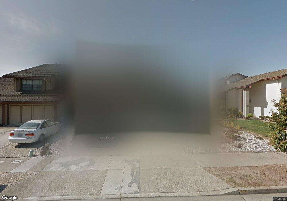
1010 Otis Dr Alameda, CA 94501
South Shore NeighborhoodEstimated Value: $1,612,000 - $1,994,000
3
Beds
3
Baths
2,842
Sq Ft
$620/Sq Ft
Est. Value
About This Home
This home is located at 1010 Otis Dr, Alameda, CA 94501 and is currently estimated at $1,761,473, approximately $619 per square foot. 1010 Otis Dr is a home located in Alameda County with nearby schools including William G. Paden Elementary School, Will C. Wood Middle School, and Encinal Junior/Senior High.
Ownership History
Date
Name
Owned For
Owner Type
Purchase Details
Closed on
Jan 13, 2005
Sold by
Lee Tih Sang and Lee Yuck Sew
Bought by
Marsh John R and Wong Terri L
Current Estimated Value
Home Financials for this Owner
Home Financials are based on the most recent Mortgage that was taken out on this home.
Original Mortgage
$428,000
Outstanding Balance
$214,946
Interest Rate
5.67%
Mortgage Type
Purchase Money Mortgage
Estimated Equity
$1,546,527
Purchase Details
Closed on
Apr 8, 1994
Sold by
Lee Tih Sang and Lee Yuck Sew
Bought by
Lee Tih Sang and Lee Yuck Sew
Create a Home Valuation Report for This Property
The Home Valuation Report is an in-depth analysis detailing your home's value as well as a comparison with similar homes in the area
Home Values in the Area
Average Home Value in this Area
Purchase History
| Date | Buyer | Sale Price | Title Company |
|---|---|---|---|
| Marsh John R | $868,000 | Financial Title Company | |
| Lee Tih Sang | -- | -- |
Source: Public Records
Mortgage History
| Date | Status | Borrower | Loan Amount |
|---|---|---|---|
| Open | Marsh John R | $428,000 |
Source: Public Records
Tax History
| Year | Tax Paid | Tax Assessment Tax Assessment Total Assessment is a certain percentage of the fair market value that is determined by local assessors to be the total taxable value of land and additions on the property. | Land | Improvement |
|---|---|---|---|---|
| 2025 | $17,195 | $1,202,800 | $362,940 | $846,860 |
| 2024 | $17,195 | $1,179,087 | $355,826 | $830,261 |
| 2023 | $16,535 | $1,162,833 | $348,850 | $813,983 |
| 2022 | $16,167 | $1,133,038 | $342,011 | $798,027 |
| 2021 | $15,771 | $1,110,688 | $335,306 | $782,382 |
| 2020 | $15,582 | $1,106,230 | $331,869 | $774,361 |
| 2019 | $14,701 | $1,084,548 | $325,364 | $759,184 |
| 2018 | $14,328 | $1,063,290 | $318,987 | $744,303 |
| 2017 | $13,655 | $1,042,450 | $312,735 | $729,715 |
| 2016 | $13,688 | $1,022,017 | $306,605 | $715,412 |
| 2015 | $13,649 | $1,006,671 | $302,001 | $704,670 |
| 2014 | $12,961 | $986,958 | $296,087 | $690,871 |
Source: Public Records
Map
Nearby Homes
- 955 Shorepoint Ct Unit 100
- 955 Shorepoint Ct Unit 216
- 960 Shorepoint Ct Unit 215
- 1122 Bay St
- 1000 Central Ave
- 1003 Morton St
- 824 Paru St
- 1203 Benton St
- 1305 Webster St Unit C202
- 1305 Webster St Unit C102
- 1321 Webster St Unit D103
- 1321 Webster St Unit D119
- 1321 Webster St Unit D319
- 1333 Webster St Unit A107
- 1512 Mozart St
- 1500 Alameda Ave Unit G
- 1523 Verdi St
- 1211 Paru St
- 325 Kitty Hawk Rd Unit 207
- 1822 Clinton Ave
- 1006 Otis Dr
- 1014 Otis Dr
- 1011 Rosewood Way
- 1007 Rosewood Way
- 1018 Otis Dr
- 1002 Otis Dr
- 1015 Rosewood Way
- 1003 Rosewood Way
- 1019 Rosewood Way
- 1022 Otis Dr
- 1009 Otis Dr Unit 2
- 1015 Otis Dr
- 1023 Rosewood Way
- 1026 Otis Dr
- 1021 Otis Dr
- 600 Tarryton Isle
- 572 Tarryton Isle
- 1027 Rosewood Way
- 575 Country Isle
- 585 Tarryton Isle
Your Personal Tour Guide
Ask me questions while you tour the home.