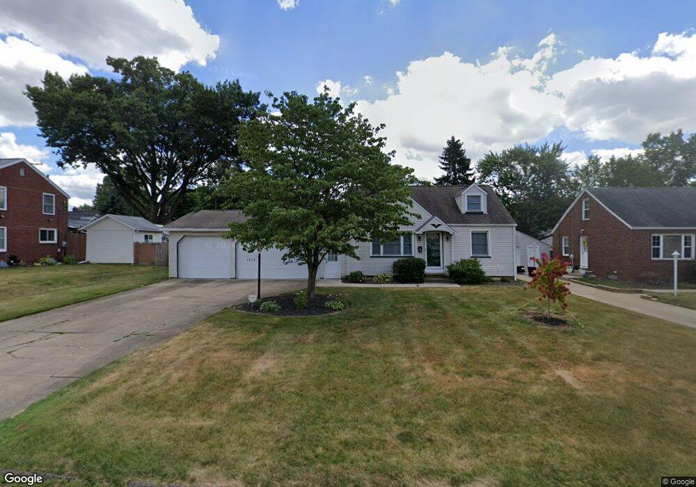
1010 Spangler Rd NE Canton, OH 44714
Colonial Heights NeighborhoodEstimated Value: $144,000 - $171,665
3
Beds
1
Bath
1,261
Sq Ft
$127/Sq Ft
Est. Value
About This Home
This home is located at 1010 Spangler Rd NE, Canton, OH 44714 and is currently estimated at $159,666, approximately $126 per square foot. 1010 Spangler Rd NE is a home located in Stark County with nearby schools including Frazer Elementary School, Glenwood Intermediate School, and GlenOak High School.
Ownership History
Date
Name
Owned For
Owner Type
Purchase Details
Closed on
Jun 6, 2014
Sold by
Thane Marsha
Bought by
Thane Kristin Kay and Thane Family Irrevocable Trust
Current Estimated Value
Purchase Details
Closed on
Jan 1, 2012
Sold by
Estate Of Jacob Thane
Bought by
Thane Marsha
Purchase Details
Closed on
Oct 25, 1989
Purchase Details
Closed on
Oct 12, 1988
Create a Home Valuation Report for This Property
The Home Valuation Report is an in-depth analysis detailing your home's value as well as a comparison with similar homes in the area
Home Values in the Area
Average Home Value in this Area
Purchase History
| Date | Buyer | Sale Price | Title Company |
|---|---|---|---|
| Thane Kristin Kay | -- | None Available | |
| Thane Marsha | -- | None Available | |
| -- | $57,900 | -- | |
| -- | $48,000 | -- |
Source: Public Records
Tax History Compared to Growth
Tax History
| Year | Tax Paid | Tax Assessment Tax Assessment Total Assessment is a certain percentage of the fair market value that is determined by local assessors to be the total taxable value of land and additions on the property. | Land | Improvement |
|---|---|---|---|---|
| 2025 | -- | $58,030 | $12,320 | $45,710 |
| 2024 | -- | $58,030 | $12,320 | $45,710 |
| 2023 | $1,443 | $40,120 | $10,470 | $29,650 |
| 2022 | $1,471 | $40,120 | $10,470 | $29,650 |
| 2021 | $1,478 | $40,120 | $10,470 | $29,650 |
| 2020 | $1,312 | $34,090 | $9,030 | $25,060 |
| 2019 | $1,301 | $34,090 | $9,030 | $25,060 |
| 2018 | $1,285 | $34,090 | $9,030 | $25,060 |
| 2017 | $1,311 | $32,480 | $9,940 | $22,540 |
| 2016 | $1,345 | $33,050 | $11,030 | $22,020 |
| 2015 | $1,767 | $33,050 | $11,030 | $22,020 |
| 2014 | $1,589 | $29,060 | $9,700 | $19,360 |
| 2013 | $776 | $29,060 | $9,700 | $19,360 |
Source: Public Records
Map
Nearby Homes
- 808 29th St NE
- 708 29th St NE
- 1202 28th St NE
- 1233 29th St NE
- 000 Rowland Ave NE
- 1115 Colonial Blvd NE
- 1306 Milford St NE
- 1321 Warrick Place NE
- 1220 25th St NE
- 1227 33rd St NE
- 3321 Martindale Rd NE
- 140 32nd St NW
- 2219 Rowland Ave NE
- 1638 Warrick Place NE
- 2510 Gross Ave NE
- 908 22nd St NE
- 3122 Logan Ave NW
- 312 32nd St NW
- 1624 34th St NE
- 2216 University Ave NW
- 1006 Spangler Rd NE
- 1022 Spangler Rd NE
- 1002 Spangler Rd NE
- 1017 29th St NE
- 1007 29th St NE
- 1025 29th St NE
- 924 Spangler Rd NE
- 1005 29th St NE
- 1013 Spangler Rd NE
- 1100 Spangler Rd NE
- 1019 Spangler Rd NE
- 1009 Spangler Rd NE
- 1023 Spangler Rd NE
- 921 29th St NE
- 916 Spangler Rd NE
- 1003 Spangler Rd NE
- 1103 29th St NE
- 1106 Spangler Rd NE
- 923 Spangler Rd NE
- 919 29th St NE