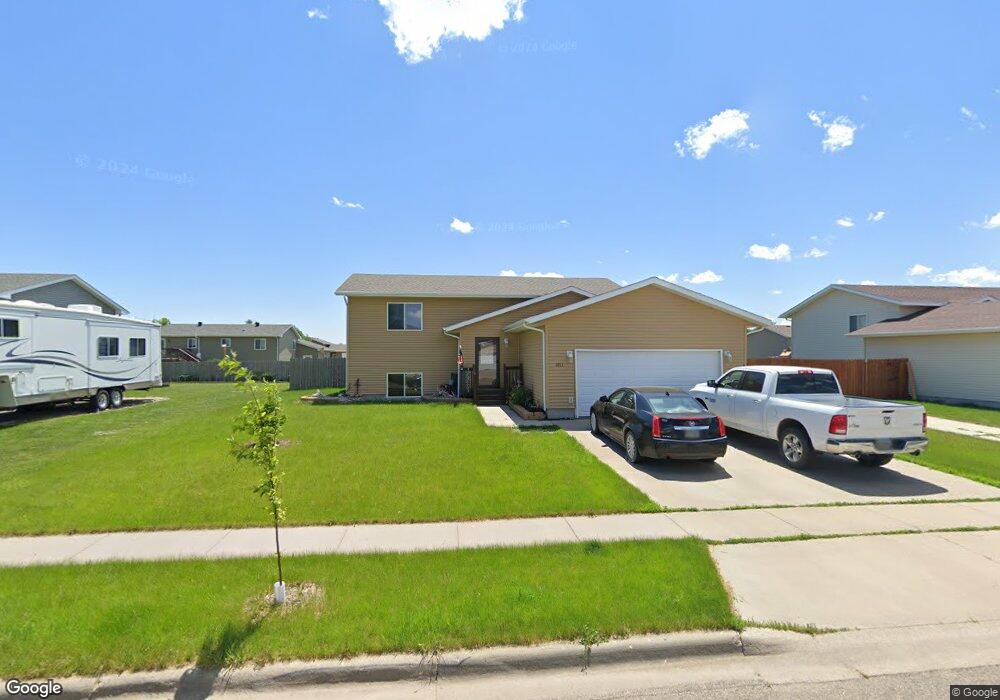
1011 Ash Ln Aberdeen, SD 57401
Estimated Value: $220,561 - $405,000
2
Beds
1
Bath
1,984
Sq Ft
$152/Sq Ft
Est. Value
About This Home
This home is located at 1011 Ash Ln, Aberdeen, SD 57401 and is currently estimated at $301,140, approximately $151 per square foot. 1011 Ash Ln is a home located in Brown County with nearby schools including Simmons Elementary School, Simmons Middle School, and Central High School.
Ownership History
Date
Name
Owned For
Owner Type
Purchase Details
Closed on
Jul 31, 2008
Sold by
Homes Are Possible Inc
Bought by
Speck Nathan
Current Estimated Value
Home Financials for this Owner
Home Financials are based on the most recent Mortgage that was taken out on this home.
Original Mortgage
$130,000
Outstanding Balance
$85,676
Interest Rate
6.5%
Mortgage Type
Purchase Money Mortgage
Estimated Equity
$215,464
Create a Home Valuation Report for This Property
The Home Valuation Report is an in-depth analysis detailing your home's value as well as a comparison with similar homes in the area
Home Values in the Area
Average Home Value in this Area
Purchase History
| Date | Buyer | Sale Price | Title Company |
|---|---|---|---|
| Speck Nathan | $137,900 | None Available |
Source: Public Records
Mortgage History
| Date | Status | Borrower | Loan Amount |
|---|---|---|---|
| Open | Speck Nathan | $130,000 | |
| Closed | Speck Nathan | $10,000 |
Source: Public Records
Tax History
| Year | Tax Paid | Tax Assessment Tax Assessment Total Assessment is a certain percentage of the fair market value that is determined by local assessors to be the total taxable value of land and additions on the property. | Land | Improvement |
|---|---|---|---|---|
| 2025 | $3,450 | $224,868 | $19,953 | $204,915 |
| 2024 | $3,450 | $209,932 | $20,642 | $189,290 |
| 2023 | $2,927 | $190,844 | $20,642 | $170,202 |
| 2022 | $2,917 | $168,198 | $20,266 | $147,932 |
| 2021 | $2,854 | $163,426 | $20,266 | $143,160 |
| 2020 | $2,836 | $158,362 | $20,266 | $138,096 |
| 2019 | $2,875 | $159,474 | $21,378 | $138,096 |
| 2018 | $2,695 | $159,474 | $21,378 | $138,096 |
| 2017 | -- | $155,528 | $21,378 | $134,150 |
| 2016 | -- | $152,898 | $0 | $152,898 |
| 2015 | -- | $150,268 | $0 | $150,268 |
| 2014 | -- | $150,268 | $0 | $150,268 |
Source: Public Records
Map
Nearby Homes
- 1022 17th Ave SW
- 1408 SW 13th Ave
- 2123 W Melgaard Rd
- 814 S 8th St
- 1623 10th Ave SW
- 1404 S 2nd St
- 620 S 10th St
- 322 9th Ave SW
- 1301 S 1st St
- 201 8th Ave SW
- 324 S 9th St
- 810 S 1st St
- 114 8th Ave SW
- 117 Elizabeth Dr
- 1424 4th Ave SW
- 614 S 1st St
- 608 S 1st St
- 2410 135th St SW
- 1533 S Grant St
- 910 S Washington St
Your Personal Tour Guide
Ask me questions while you tour the home.