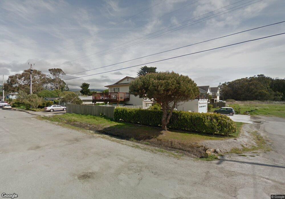
1011 Railroad Ave Half Moon Bay, CA 94019
Estimated Value: $1,714,000 - $2,176,000
3
Beds
6
Baths
2,369
Sq Ft
$802/Sq Ft
Est. Value
About This Home
This home is located at 1011 Railroad Ave, Half Moon Bay, CA 94019 and is currently estimated at $1,899,960, approximately $802 per square foot. 1011 Railroad Ave is a home located in San Mateo County with nearby schools including Alvin S. Hatch Elementary School, Manuel F. Cunha Intermediate School, and Half Moon Bay High School.
Ownership History
Date
Name
Owned For
Owner Type
Purchase Details
Closed on
Mar 20, 2023
Sold by
Whipp Hazel
Bought by
Hazel Whipp Revocable Trust and Whipp
Current Estimated Value
Purchase Details
Closed on
Oct 3, 2001
Sold by
Whipp Richard M and Whipp Hazel
Bought by
Whipp Richard M and Whipp Hazel
Home Financials for this Owner
Home Financials are based on the most recent Mortgage that was taken out on this home.
Original Mortgage
$275,000
Interest Rate
6.91%
Create a Home Valuation Report for This Property
The Home Valuation Report is an in-depth analysis detailing your home's value as well as a comparison with similar homes in the area
Home Values in the Area
Average Home Value in this Area
Purchase History
| Date | Buyer | Sale Price | Title Company |
|---|---|---|---|
| Hazel Whipp Revocable Trust | -- | None Listed On Document | |
| Whipp Richard M | -- | Commonwealth Land Title Ins |
Source: Public Records
Mortgage History
| Date | Status | Borrower | Loan Amount |
|---|---|---|---|
| Previous Owner | Whipp Richard M | $275,000 |
Source: Public Records
Tax History Compared to Growth
Tax History
| Year | Tax Paid | Tax Assessment Tax Assessment Total Assessment is a certain percentage of the fair market value that is determined by local assessors to be the total taxable value of land and additions on the property. | Land | Improvement |
|---|---|---|---|---|
| 2025 | $3,925 | $224,000 | $25,385 | $198,615 |
| 2023 | $3,925 | $215,304 | $24,400 | $190,904 |
| 2022 | $3,525 | $211,084 | $23,922 | $187,162 |
| 2021 | $3,360 | $206,947 | $23,453 | $183,494 |
| 2020 | $3,251 | $204,826 | $23,213 | $181,613 |
| 2019 | $3,010 | $200,811 | $22,758 | $178,053 |
| 2018 | $3,096 | $196,875 | $22,312 | $174,563 |
| 2017 | $2,803 | $193,016 | $21,875 | $171,141 |
| 2016 | $2,833 | $189,233 | $21,447 | $167,786 |
| 2015 | $2,715 | $186,392 | $21,125 | $165,267 |
| 2014 | -- | $182,743 | $20,712 | $162,031 |
Source: Public Records
Map
Nearby Homes
- 0 Grove Unit ML82012135
- SW Cor 2nd Magnolia St
- 0 Magnolia Unit ML81987516
- 484 Poplar St
- 544 Grove St
- 345 Granelli Ave
- 371 Granelli Ave
- 575 Seymour St
- 601 & 603 Spruce St
- 420 Valdez Ave
- 316 Valdez Ave
- 575 Myrtle St
- 651 Spruce St
- 230 Amesport Landing Unit 155
- 336 Miramontes Ave
- 1029 Suzanne Ct
- 213 Miramontes Ave
- 415 Kelly Ave
- 460 Pine Ave Unit 46
- 725 Correas St