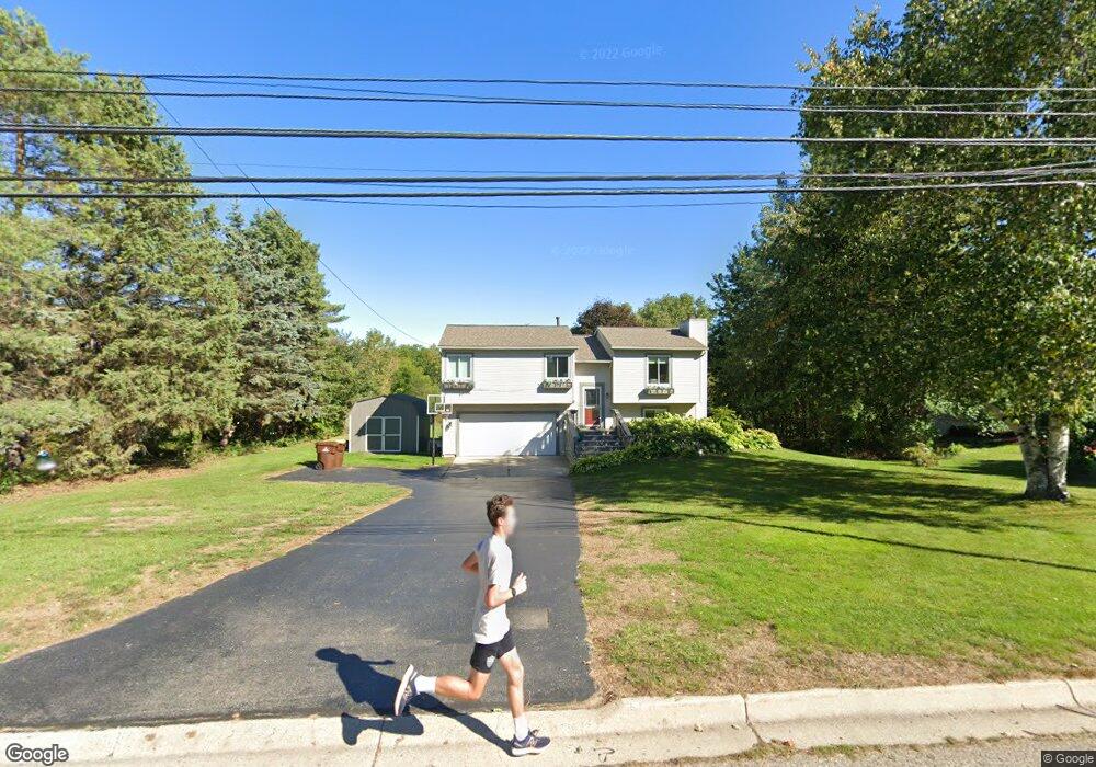
1011 Turner Rd Dewitt, MI 48820
Estimated Value: $310,000 - $341,000
Studio
2
Baths
1,547
Sq Ft
$212/Sq Ft
Est. Value
About This Home
This home is located at 1011 Turner Rd, Dewitt, MI 48820 and is currently estimated at $327,822, approximately $211 per square foot. 1011 Turner Rd is a home located in Clinton County with nearby schools including Schavey Road Elementary School, Scott Elementary School, and Herbison Woods Elementary School.
Ownership History
Date
Name
Owned For
Owner Type
Purchase Details
Closed on
May 17, 2024
Sold by
Vilona Vincent and Vilona Kirsten
Bought by
Thompson Michelle and Thompson Michael
Current Estimated Value
Home Financials for this Owner
Home Financials are based on the most recent Mortgage that was taken out on this home.
Original Mortgage
$145,000
Outstanding Balance
$136,820
Interest Rate
6.16%
Mortgage Type
New Conventional
Estimated Equity
$191,002
Purchase Details
Closed on
Oct 11, 2019
Sold by
Epkey David Anthony and Epkey Anna Renee
Bought by
Vilona Vincent and Vilona Kirsten
Purchase Details
Closed on
Sep 11, 2007
Sold by
Epkey David Anthony
Bought by
Epkey David Anthony and Epkey Anna Renee
Purchase Details
Closed on
Oct 20, 2006
Sold by
Dejewski George E
Bought by
Epkey David
Home Financials for this Owner
Home Financials are based on the most recent Mortgage that was taken out on this home.
Original Mortgage
$142,500
Interest Rate
6.5%
Mortgage Type
Purchase Money Mortgage
Create a Home Valuation Report for This Property
The Home Valuation Report is an in-depth analysis detailing your home's value as well as a comparison with similar homes in the area
Home Values in the Area
Average Home Value in this Area
Purchase History
| Date | Buyer | Sale Price | Title Company |
|---|---|---|---|
| Thompson Michelle | $331,000 | Ata National Title Group | |
| Vilona Vincent | $190,000 | None Available | |
| Epkey David Anthony | -- | None Available | |
| Epkey David | $150,000 | None Available |
Source: Public Records
Mortgage History
| Date | Status | Borrower | Loan Amount |
|---|---|---|---|
| Open | Thompson Michelle | $145,000 | |
| Previous Owner | Epkey David | $142,500 |
Source: Public Records
Tax History
| Year | Tax Paid | Tax Assessment Tax Assessment Total Assessment is a certain percentage of the fair market value that is determined by local assessors to be the total taxable value of land and additions on the property. | Land | Improvement |
|---|---|---|---|---|
| 2025 | $4,273 | $111,500 | $27,100 | $84,400 |
| 2024 | $32 | $103,600 | $25,000 | $78,600 |
| 2023 | $3,384 | $96,100 | $0 | $0 |
| 2022 | $3,876 | $88,400 | $23,600 | $64,800 |
| 2021 | $3,753 | $85,500 | $23,600 | $61,900 |
| 2020 | $3,666 | $81,800 | $22,500 | $59,300 |
| 2019 | $2,770 | $76,900 | $22,500 | $54,400 |
| 2018 | $2,692 | $74,700 | $22,500 | $52,200 |
| 2017 | $2,625 | $72,200 | $19,300 | $52,900 |
| 2016 | $2,622 | $68,700 | $19,300 | $49,400 |
| 2015 | -- | $63,000 | $0 | $0 |
| 2011 | -- | $59,600 | $0 | $0 |
Source: Public Records
Map
Nearby Homes
- 13132 Addington Dr
- 603 Cherry St
- 303 W Washington St
- 1465 Primrose Ln
- 503 E Geneva Dr
- 513 N Scott St
- 12885 Isle Royale Dr
- 1114 N Chimney Hill Dr
- 1587 Wellman Rd
- 1225 Schavey Rd
- 405 Shoreline Dr
- 2984 Moccasin Dr
- 2956 Moccasin Dr
- 2969 Moccasin Dr
- 2407 W Clark Rd
- Integrity 1880 Plan at Shadybrook
- Integrity 1830 Plan at Shadybrook
- Integrity 2080 Plan at Shadybrook
- 12615 Kruger Ln
- 13865 Kaleidoscope Dr
Your Personal Tour Guide
Ask me questions while you tour the home.