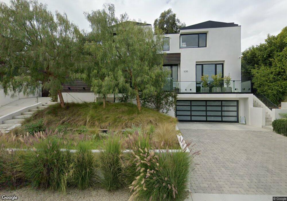
10111 Angelo Cir Beverly Hills, CA 90210
Beverly Crest NeighborhoodEstimated Value: $3,210,000 - $6,822,120
3
Beds
6
Baths
2,205
Sq Ft
$2,407/Sq Ft
Est. Value
About This Home
This home is located at 10111 Angelo Cir, Beverly Hills, CA 90210 and is currently estimated at $5,308,030, approximately $2,407 per square foot. 10111 Angelo Cir is a home located in Los Angeles County with nearby schools including Warner Avenue Elementary, Ralph Waldo Emerson Community Charter Middle School, and Good Shepherd Catholic School.
Ownership History
Date
Name
Owned For
Owner Type
Purchase Details
Closed on
Nov 2, 2012
Sold by
Kamrava Allen and Kamrava Dalia
Bought by
Kamrava Dalia
Current Estimated Value
Home Financials for this Owner
Home Financials are based on the most recent Mortgage that was taken out on this home.
Original Mortgage
$376,000
Outstanding Balance
$66,667
Interest Rate
3.36%
Mortgage Type
New Conventional
Estimated Equity
$5,241,363
Purchase Details
Closed on
Apr 22, 2010
Sold by
Sydney & Elizabeth Ann Sinclair Family T
Bought by
Kamrava Allen and Kamrava Dalia
Home Financials for this Owner
Home Financials are based on the most recent Mortgage that was taken out on this home.
Original Mortgage
$417,000
Interest Rate
4.94%
Mortgage Type
New Conventional
Purchase Details
Closed on
Oct 13, 2008
Sold by
Sinclair Elizabeth Ann and Sinclair Murray Mark
Bought by
Sinclair Elizabeth Ann and Sinclair Murray Mark
Create a Home Valuation Report for This Property
The Home Valuation Report is an in-depth analysis detailing your home's value as well as a comparison with similar homes in the area
Home Values in the Area
Average Home Value in this Area
Purchase History
| Date | Buyer | Sale Price | Title Company |
|---|---|---|---|
| Kamrava Dalia | -- | Title 365 | |
| Kamrava Allen | $1,690,000 | Stewart Title Co Of Ca | |
| Sinclair Elizabeth Ann | -- | None Available |
Source: Public Records
Mortgage History
| Date | Status | Borrower | Loan Amount |
|---|---|---|---|
| Open | Kamrava Dalia | $376,000 | |
| Closed | Kamrava Allen | $417,000 |
Source: Public Records
Tax History Compared to Growth
Tax History
| Year | Tax Paid | Tax Assessment Tax Assessment Total Assessment is a certain percentage of the fair market value that is determined by local assessors to be the total taxable value of land and additions on the property. | Land | Improvement |
|---|---|---|---|---|
| 2025 | $37,640 | $3,132,580 | $2,181,487 | $951,093 |
| 2024 | $37,640 | $3,071,158 | $2,138,713 | $932,445 |
| 2023 | $36,912 | $3,010,940 | $2,096,778 | $914,162 |
| 2022 | $35,225 | $2,951,903 | $2,055,665 | $896,238 |
| 2021 | $34,784 | $2,894,023 | $2,015,358 | $878,665 |
| 2019 | $33,675 | $2,808,186 | $1,955,582 | $852,604 |
| 2018 | $33,509 | $2,753,125 | $1,917,238 | $835,887 |
| 2016 | $22,277 | $1,842,791 | $1,842,791 | $0 |
| 2015 | $21,950 | $1,815,107 | $1,387,217 | $427,890 |
| 2014 | $22,016 | $1,779,553 | $1,360,044 | $419,509 |
Source: Public Records
Map
Nearby Homes
- 1059 Angelo Dr
- 1130 Angelo Dr
- 1188 Brooklawn Dr
- 615 N Faring Rd
- 1265 Leona Dr
- 655 N Faring Rd
- 725 N Faring Rd
- 677 N Faring Rd
- 344 Delfern Dr
- 1280 Benedict Canyon Dr
- 422 Parkwood Dr
- 327 Delfern Dr
- 1250 Angelo Dr
- 150 N Carolwood Dr
- 1261 Angelo Dr
- 1242 Angelo Dr
- 9966 Beverly Grove Dr
- 1280 Angelo Dr
- 1719 Ambassador Ave
- 1129 Tower Rd
- 10121 Angelo Cir
- 10101 Angelo Cir
- 1107 Angelo Dr
- 10131 Angelo Cir
- 1117 Angelo Dr
- 10100 Angelo Cir
- 10112 Angelo Cir
- 1119 Angelo Dr
- 10120 Angelo Cir
- 10130 Angelo Cir
- 1075 Angelo Dr
- 10141 Angelo Cir
- 1104 Angelo Dr
- 1100 Angelo Dr
- 1002 Maybrook Dr
- 1125 Angelo Dr
- 10138 Angelo Cir
- 1067 Angelo Dr
- 1082 Angelo Dr
- 1127 Angelo Dr