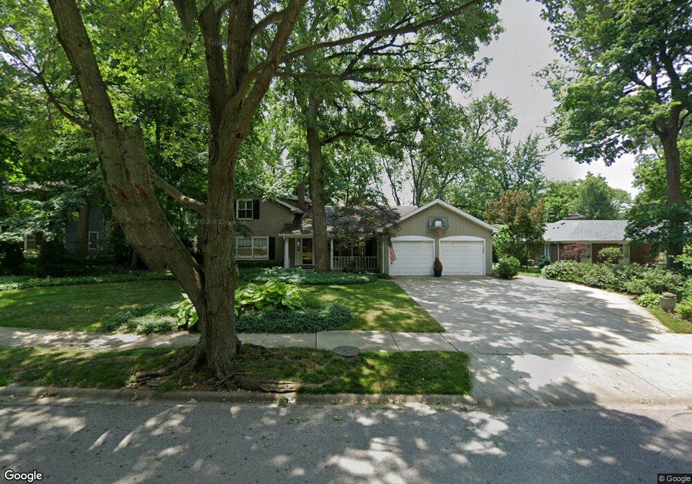
1012 Anne Rd Naperville, IL 60540
East Naperville NeighborhoodEstimated Value: $1,066,480 - $1,435,000
5
Beds
4
Baths
3,945
Sq Ft
$310/Sq Ft
Est. Value
About This Home
This home is located at 1012 Anne Rd, Naperville, IL 60540 and is currently estimated at $1,222,620, approximately $309 per square foot. 1012 Anne Rd is a home located in DuPage County with nearby schools including Prairie Elementary School, Admiral Byrd Elementary School, and Washington Jr High School.
Ownership History
Date
Name
Owned For
Owner Type
Purchase Details
Closed on
Aug 14, 2025
Sold by
Barbara A Barhamand Revocable Trust and Barhamand Barbara A
Bought by
Fariborze B Barhamand Revocable Trust and Barbara A Barhamand Revocable Trust
Current Estimated Value
Purchase Details
Closed on
Feb 12, 2001
Sold by
Barhamand Fariborze B and Barhamand Barbara A
Bought by
Barhamand Barbara A and Barbara A Barhamand Revocable Trust
Create a Home Valuation Report for This Property
The Home Valuation Report is an in-depth analysis detailing your home's value as well as a comparison with similar homes in the area
Home Values in the Area
Average Home Value in this Area
Purchase History
| Date | Buyer | Sale Price | Title Company |
|---|---|---|---|
| Fariborze B Barhamand Revocable Trust | -- | None Listed On Document | |
| Barhamand Barbara A | -- | -- |
Source: Public Records
Tax History Compared to Growth
Tax History
| Year | Tax Paid | Tax Assessment Tax Assessment Total Assessment is a certain percentage of the fair market value that is determined by local assessors to be the total taxable value of land and additions on the property. | Land | Improvement |
|---|---|---|---|---|
| 2024 | $18,617 | $319,890 | $94,088 | $225,802 |
| 2023 | $17,931 | $291,950 | $85,870 | $206,080 |
| 2022 | $17,030 | $274,130 | $80,630 | $193,500 |
| 2021 | $16,407 | $263,760 | $77,580 | $186,180 |
| 2020 | $16,380 | $259,020 | $76,190 | $182,830 |
| 2019 | $15,916 | $247,810 | $72,890 | $174,920 |
| 2018 | $14,854 | $231,600 | $68,120 | $163,480 |
| 2017 | $14,564 | $223,790 | $65,820 | $157,970 |
| 2016 | $14,283 | $215,700 | $63,440 | $152,260 |
| 2015 | $14,209 | $203,120 | $59,740 | $143,380 |
| 2014 | $13,816 | $191,620 | $56,360 | $135,260 |
| 2013 | $13,608 | $192,080 | $56,500 | $135,580 |
Source: Public Records
Map
Nearby Homes
- 1133 Catherine Ave
- 915 E Chicago Ave
- 440 S Columbia St
- 820 Prairie Ave
- 488 S Columbia St
- 203 S Columbia St
- 130 N Huffman St
- 116 S Wright St
- 444 S Sleight St
- 5 N Columbia St
- 105 S Wright St
- 328 S Loomis St
- 1068 Mattande Ln
- 904 Coletta Cir
- 616 Driftwood Ct
- 706 S Loomis St Unit D
- 821 Wellner Rd
- 316 N Loomis St
- 908 Julian Ct
- 923 Tim Tam Cir