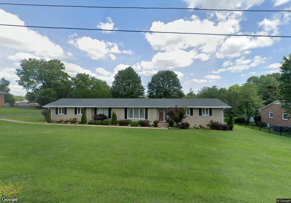
1012 Wilson Ln Pulaski, TN 38478
Estimated Value: $239,359 - $274,000
3
Beds
2
Baths
1,518
Sq Ft
$173/Sq Ft
Est. Value
About This Home
This home is located at 1012 Wilson Ln, Pulaski, TN 38478 and is currently estimated at $262,340, approximately $172 per square foot. 1012 Wilson Ln is a home located in Giles County with nearby schools including Pulaski Elementary School, Southside Elementary School, and Bridgeforth Middle School.
Ownership History
Date
Name
Owned For
Owner Type
Purchase Details
Closed on
Aug 20, 2014
Sold by
Wamble David P
Bought by
Merritt Martha Ann
Current Estimated Value
Home Financials for this Owner
Home Financials are based on the most recent Mortgage that was taken out on this home.
Original Mortgage
$97,578
Outstanding Balance
$73,166
Interest Rate
3.75%
Mortgage Type
FHA
Estimated Equity
$189,174
Purchase Details
Closed on
Aug 29, 2013
Sold by
Whitworth Troy B
Bought by
Wamble David P and Wamble Meleah M
Purchase Details
Closed on
Oct 12, 2006
Sold by
Stevens David D
Bought by
Whitworth Troy B
Purchase Details
Closed on
Nov 23, 1999
Sold by
Lochridge Mark Timothy
Bought by
Stevens David D and Stevens Debbie L
Purchase Details
Closed on
Jul 18, 1990
Bought by
Lochridge Mark Timothy and Lochridge Patricia K
Purchase Details
Closed on
Feb 27, 1984
Bought by
Smith Billy Hall and Smith Barbara
Create a Home Valuation Report for This Property
The Home Valuation Report is an in-depth analysis detailing your home's value as well as a comparison with similar homes in the area
Home Values in the Area
Average Home Value in this Area
Purchase History
| Date | Buyer | Sale Price | Title Company |
|---|---|---|---|
| Merritt Martha Ann | $106,900 | -- | |
| Wamble David P | $85,000 | -- | |
| Whitworth Troy B | $110,000 | -- | |
| Stevens David D | $90,000 | -- | |
| Lochridge Mark Timothy | -- | -- | |
| Smith Billy Hall | -- | -- |
Source: Public Records
Mortgage History
| Date | Status | Borrower | Loan Amount |
|---|---|---|---|
| Open | Merritt Martha Ann | $97,578 |
Source: Public Records
Tax History
| Year | Tax Paid | Tax Assessment Tax Assessment Total Assessment is a certain percentage of the fair market value that is determined by local assessors to be the total taxable value of land and additions on the property. | Land | Improvement |
|---|---|---|---|---|
| 2025 | $1,201 | $44,050 | $8,400 | $35,650 |
| 2024 | $1,061 | $44,050 | $8,400 | $35,650 |
| 2023 | $1,061 | $44,050 | $8,400 | $35,650 |
| 2022 | $1,061 | $44,050 | $8,400 | $35,650 |
| 2021 | $961 | $28,375 | $3,350 | $25,025 |
| 2020 | $961 | $28,375 | $3,350 | $25,025 |
| 2019 | $802 | $28,375 | $3,350 | $25,025 |
| 2018 | $961 | $28,375 | $3,350 | $25,025 |
| 2017 | $961 | $28,375 | $3,350 | $25,025 |
| 2016 | $1,013 | $28,625 | $4,500 | $24,125 |
| 2015 | $956 | $28,625 | $4,500 | $24,125 |
| 2014 | $957 | $28,634 | $0 | $0 |
Source: Public Records
Map
Nearby Homes
- 1307 Carroll Dr
- 109 Mimi Cir
- 0 Jackson Dr Unit RTC3067618
- 1205 Beverly Dr
- 17.25 W Hwy 11
- 902 Brenda Dr
- 1716 Keller Ave
- 730 Rackley Dr
- 1531 Paulk Ln
- 271 Chicken Creek Rd
- 11 Highway 11
- 2400 Chicken Creek Rd
- 1 Chicken Creek Rd
- 1715 Vales Mill Rd
- 513 S 4th St
- 602 S 1st St
- 102 Sunset Dr
- 210 S 6th St
- 133 Sunset Dr
- 311 S 1st St
Your Personal Tour Guide
Ask me questions while you tour the home.