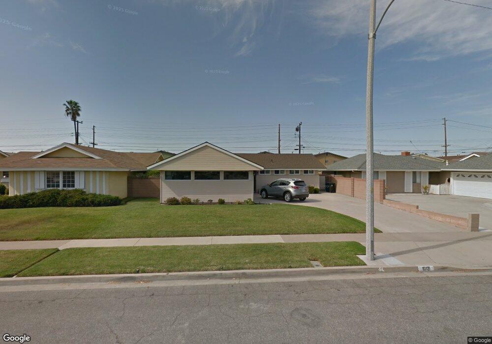
10121 Beverly Ln Westminster, CA 92683
Star View NeighborhoodEstimated Value: $959,000 - $1,151,000
3
Beds
2
Baths
1,273
Sq Ft
$828/Sq Ft
Est. Value
About This Home
This home is located at 10121 Beverly Ln, Westminster, CA 92683 and is currently estimated at $1,053,616, approximately $827 per square foot. 10121 Beverly Ln is a home located in Orange County with nearby schools including Thomas Paine Elementary School, McGarvin Intermediate School, and La Quinta High School.
Ownership History
Date
Name
Owned For
Owner Type
Purchase Details
Closed on
Jan 2, 2004
Sold by
Dessero Patricia A
Bought by
Dessero Patricia A and The Patricia Dessero Trust
Current Estimated Value
Purchase Details
Closed on
Aug 5, 1994
Sold by
Dessero Douglas J and Dessero Patti A
Bought by
Dessero Patti A
Home Financials for this Owner
Home Financials are based on the most recent Mortgage that was taken out on this home.
Original Mortgage
$27,000
Interest Rate
8.65%
Create a Home Valuation Report for This Property
The Home Valuation Report is an in-depth analysis detailing your home's value as well as a comparison with similar homes in the area
Home Values in the Area
Average Home Value in this Area
Purchase History
| Date | Buyer | Sale Price | Title Company |
|---|---|---|---|
| Dessero Patricia A | -- | -- | |
| Dessero Patti A | -- | -- |
Source: Public Records
Mortgage History
| Date | Status | Borrower | Loan Amount |
|---|---|---|---|
| Closed | Dessero Patti A | $27,000 |
Source: Public Records
Tax History
| Year | Tax Paid | Tax Assessment Tax Assessment Total Assessment is a certain percentage of the fair market value that is determined by local assessors to be the total taxable value of land and additions on the property. | Land | Improvement |
|---|---|---|---|---|
| 2025 | $1,313 | $64,469 | $24,458 | $40,011 |
| 2024 | $1,313 | $63,205 | $23,978 | $39,227 |
| 2023 | $1,279 | $61,966 | $23,508 | $38,458 |
| 2022 | $1,245 | $60,751 | $23,047 | $37,704 |
| 2021 | $1,209 | $59,560 | $22,595 | $36,965 |
| 2020 | $1,197 | $58,950 | $22,364 | $36,586 |
| 2019 | $1,183 | $57,795 | $21,926 | $35,869 |
| 2018 | $1,166 | $56,662 | $21,496 | $35,166 |
| 2017 | $1,152 | $55,551 | $21,074 | $34,477 |
| 2016 | $1,122 | $54,462 | $20,661 | $33,801 |
| 2015 | $1,108 | $53,644 | $20,350 | $33,294 |
| 2014 | $1,087 | $52,594 | $19,952 | $32,642 |
Source: Public Records
Map
Nearby Homes
- 15289 Cadiz Dr
- 15781 Clarendon St
- 10200 Bolsa Ave Unit 69
- 10200 Bolsa Ave Unit 100
- 9702 Bolsa Ave Unit 30
- 602 S Deming St
- 5410 W Davit Ave
- 9461 Lotus Dr
- 14831 Deanann Place
- 15928 Prell Ct
- 14799 Apricot Ln
- 9442 Sean Way
- 15970 Hyde Ct
- 5326 W Henderson Place
- 507 S Euclid St Unit 106
- 9202 Dickens Cir
- 16082 Cache St
- 9172 Chelsea Cir
- 842 S Corta Dr
- 5317 Silver Dr
- 10131 Beverly Ln
- 10111 Beverly Ln
- 10120 Mcfadden Ave
- 10141 Beverly Ln
- 10101 Beverly Ln
- 10110 Mcfadden Ave
- 10130 Mcfadden Ave
- 10100 Mcfadden Ave
- 15550 Marie Place
- 15551 Marie Place
- 10140 Mcfadden Ave
- 10151 Beverly Ln
- 10091 Beverly Ln
- 10090 Mcfadden Ave
- 15570 Marie Place
- 15571 Marie Place
- 10150 Mcfadden Ave
- 10032 Mcfadden Ave
- 10081 Beverly Ln
- 10161 Beverly Ln