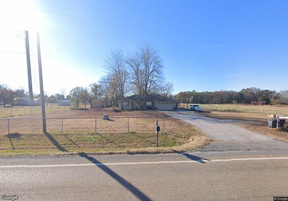
10127 S State Highway 23 Ratcliff, AR 72951
Estimated Value: $153,000 - $212,000
--
Bed
--
Bath
2,012
Sq Ft
$93/Sq Ft
Est. Value
About This Home
This home is located at 10127 S State Highway 23, Ratcliff, AR 72951 and is currently estimated at $187,056, approximately $92 per square foot. 10127 S State Highway 23 is a home with nearby schools including County Line Elementary School, County Line High School, and Keystone School.
Ownership History
Date
Name
Owned For
Owner Type
Purchase Details
Closed on
Sep 20, 2023
Sold by
Yates Betty R and Yates John T
Bought by
Yates Family Trust and Yates
Current Estimated Value
Purchase Details
Closed on
Dec 30, 2013
Sold by
Douglas W Douglas W and Smith Melinda
Bought by
Smith Brody L
Home Financials for this Owner
Home Financials are based on the most recent Mortgage that was taken out on this home.
Original Mortgage
$128,265
Interest Rate
4.34%
Mortgage Type
Unknown
Purchase Details
Closed on
Nov 24, 2003
Bought by
Smith and Smith
Purchase Details
Closed on
Sep 17, 2003
Bought by
Smith and Smith
Purchase Details
Closed on
Mar 21, 2002
Bought by
Smith Smith and Smith Et Al W
Create a Home Valuation Report for This Property
The Home Valuation Report is an in-depth analysis detailing your home's value as well as a comparison with similar homes in the area
Home Values in the Area
Average Home Value in this Area
Purchase History
| Date | Buyer | Sale Price | Title Company |
|---|---|---|---|
| Yates Family Trust | -- | None Listed On Document | |
| Smith Brody L | $126,000 | -- | |
| Smith | $95,000 | -- | |
| Smith | -- | -- | |
| Smith Smith | -- | -- |
Source: Public Records
Mortgage History
| Date | Status | Borrower | Loan Amount |
|---|---|---|---|
| Previous Owner | Smith Brody L | $128,265 |
Source: Public Records
Tax History Compared to Growth
Tax History
| Year | Tax Paid | Tax Assessment Tax Assessment Total Assessment is a certain percentage of the fair market value that is determined by local assessors to be the total taxable value of land and additions on the property. | Land | Improvement |
|---|---|---|---|---|
| 2024 | $708 | $26,780 | $1,400 | $25,380 |
| 2023 | $733 | $26,780 | $1,400 | $25,380 |
| 2022 | $732 | $26,780 | $1,400 | $25,380 |
| 2021 | $682 | $26,210 | $1,400 | $24,810 |
| 2020 | $632 | $22,120 | $1,200 | $20,920 |
| 2019 | $631 | $22,120 | $1,200 | $20,920 |
| 2018 | $656 | $22,120 | $1,200 | $20,920 |
| 2017 | $656 | $22,120 | $1,200 | $20,920 |
| 2016 | $643 | $21,817 | $1,200 | $20,617 |
| 2015 | $384 | $16,140 | $1,400 | $14,740 |
| 2013 | -- | $16,830 | $1,610 | $15,220 |
Source: Public Records
Map
Nearby Homes
- TBD Council Rd
- 3925 Highway 288
- / State Highway 288
- 8527 S Highway 23
- 4947 Compressor Rd
- 4741 Compressor Rd
- TBD N Wilson Ave
- 647 N Sixhalf Mile Rd
- 11921 Arkansas 22
- 11925 Arkansas 22
- 213 Main St
- 14683 Arkansas 23
- 4903 Quail Ridge Rd
- 0001 Randolph Rd
- 3046 Smiths Creek Rd
- 3500 N Carbon City Rd Unit 15 acres M/L
- 5492 Brown Ln
- 0 Oak Bend Rd
- TBD W Hwy 22 (Tract 3)
- TBD W Hwy 22 (Tract 1)
- 10203 S State Highway 23
- 10203 Arkansas 23
- 10041 S State Highway 23
- 9523 S State Highway 23
- 10229 S State Highway 23
- 4033 Phillips Ln
- 4210 Rausch Rd
- 10320 S State Highway 23
- 3933 Phillips Ln
- 2 acres Phillips Ln
- 3723 Phillips Ln
- 10501 S State Highway 23
- 3709 Phillips Ln
- 4505 Rausch Rd
- 4603 Rausch Rd
- 9523 State Highway 23
- 4614 Rausch Rd
- 00000 Rausch Rd
- 3708 Kersey Rd
- 12233 Sheep Farm Rd