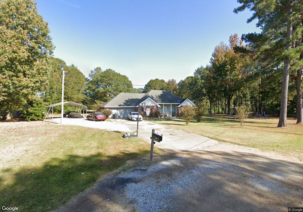
1013 Bob White Trail McComb, MS 39648
Estimated Value: $217,000 - $270,000
Studio
--
Bath
1,797
Sq Ft
$132/Sq Ft
Est. Value
About This Home
This home is located at 1013 Bob White Trail, McComb, MS 39648 and is currently estimated at $237,495, approximately $132 per square foot. 1013 Bob White Trail is a home with nearby schools including North Pike Elementary School, North Pike Middle School, and North Pike Senior High School.
Ownership History
Date
Name
Owned For
Owner Type
Purchase Details
Closed on
Feb 8, 2005
Sold by
Williams Howard and Williams Kimberly
Bought by
Williams Howard
Current Estimated Value
Home Financials for this Owner
Home Financials are based on the most recent Mortgage that was taken out on this home.
Original Mortgage
$102,000
Interest Rate
5.72%
Mortgage Type
New Conventional
Create a Home Valuation Report for This Property
The Home Valuation Report is an in-depth analysis detailing your home's value as well as a comparison with similar homes in the area
Purchase History
| Date | Buyer | Sale Price | Title Company |
|---|---|---|---|
| Williams Howard | -- | None Available |
Source: Public Records
Mortgage History
| Date | Status | Borrower | Loan Amount |
|---|---|---|---|
| Closed | Williams Howard | $102,000 |
Source: Public Records
Tax History
| Year | Tax Paid | Tax Assessment Tax Assessment Total Assessment is a certain percentage of the fair market value that is determined by local assessors to be the total taxable value of land and additions on the property. | Land | Improvement |
|---|---|---|---|---|
| 2025 | $1,682 | $14,642 | $0 | $0 |
| 2024 | $1,421 | $12,526 | $0 | $0 |
| 2023 | $1,384 | $12,526 | $0 | $0 |
| 2022 | $1,360 | $12,526 | $0 | $0 |
| 2021 | $1,355 | $12,526 | $0 | $0 |
| 2020 | $1,383 | $12,683 | $0 | $0 |
| 2019 | $1,342 | $12,683 | $0 | $0 |
| 2018 | $1,332 | $12,683 | $0 | $0 |
| 2017 | $1,297 | $12,683 | $0 | $0 |
| 2016 | $1,110 | $12,683 | $0 | $0 |
| 2015 | $1,027 | $12,221 | $0 | $0 |
| 2014 | -- | $12,221 | $0 | $0 |
| 2013 | -- | $12,221 | $0 | $0 |
Source: Public Records
Map
Nearby Homes
- 0 Shady Lane Dr
- 0 Old 24 Hwy
- 1047 Old Highway 24
- 2159 Oakdale Rd
- 730 Vogel St
- X Wild Estate
- 1002 Pershing St
- 1047 Lenoir Sellers Rd
- 0 Morgantown Rd Unit 4125975
- XXX US Highway 98
- 7153 US Highway 98
- 00 US Highway 98
- 505 S Magnolia St
- 1148 Morgantown Rd
- 823 Edgar St
- No Integrity Rd
- 0 Integrity Rd
- 425 S Broadway St
- 214 Thompson St
- 115 Scott St
- 1009 Bobwhite Trail
- 1014 Bobwhite Trail
- 1012 Bob White Trail
- 3079 Old Industrial Rd
- 2161 Old Industrial Rd
- TBD Old Industrial Rd
- 1174 Old Industrial Rd
- 0000 Old Industrial Rd
- 002 Old Industrial Rd
- Lot 6 Old Industrial Rd
- 0 Old Industrial Rd
- Lot 7 Old Industrial Rd
- 004 Old Industrial Rd
- 001 Old Industrial Rd
- 003 Old Industrial Rd
- 1113 Old Highway 24
- 1151 Old Highway 24
- 1099 Shady Lane Dr
- 1107 Shady Lane Dr
- 1089 Shady Lane Dr
Your Personal Tour Guide
Ask me questions while you tour the home.