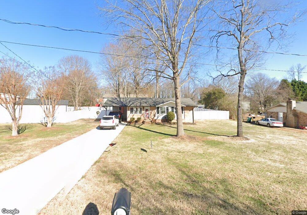
1013 Ford Dr Lowell, NC 28098
Estimated Value: $204,000 - $224,000
3
Beds
1
Bath
864
Sq Ft
$251/Sq Ft
Est. Value
About This Home
This home is located at 1013 Ford Dr, Lowell, NC 28098 and is currently estimated at $217,000, approximately $251 per square foot. 1013 Ford Dr is a home located in Gaston County with nearby schools including McAdenville Elementary School, Holbrook Middle School, and Stuart W. Cramer High School.
Ownership History
Date
Name
Owned For
Owner Type
Purchase Details
Closed on
May 3, 2021
Sold by
Jones Shim W
Bought by
Shim Jones Houses Llc
Current Estimated Value
Home Financials for this Owner
Home Financials are based on the most recent Mortgage that was taken out on this home.
Original Mortgage
$940,550
Outstanding Balance
$852,373
Interest Rate
3.1%
Mortgage Type
Construction
Estimated Equity
-$635,373
Purchase Details
Closed on
May 21, 1996
Bought by
Curry Daryl N and Curry Linda N
Create a Home Valuation Report for This Property
The Home Valuation Report is an in-depth analysis detailing your home's value as well as a comparison with similar homes in the area
Home Values in the Area
Average Home Value in this Area
Purchase History
| Date | Buyer | Sale Price | Title Company |
|---|---|---|---|
| Shim Jones Houses Llc | -- | None Available | |
| Curry Daryl N | $65,000 | -- |
Source: Public Records
Mortgage History
| Date | Status | Borrower | Loan Amount |
|---|---|---|---|
| Open | Shim Jones Houses Llc | $940,550 |
Source: Public Records
Tax History Compared to Growth
Tax History
| Year | Tax Paid | Tax Assessment Tax Assessment Total Assessment is a certain percentage of the fair market value that is determined by local assessors to be the total taxable value of land and additions on the property. | Land | Improvement |
|---|---|---|---|---|
| 2025 | $1,177 | $164,910 | $18,000 | $146,910 |
| 2024 | $1,177 | $164,910 | $18,000 | $146,910 |
| 2023 | $1,146 | $164,910 | $18,000 | $146,910 |
| 2022 | $712 | $77,440 | $18,000 | $59,440 |
| 2021 | $695 | $77,440 | $18,000 | $59,440 |
| 2020 | $695 | $77,440 | $18,000 | $59,440 |
| 2019 | $703 | $77,440 | $18,000 | $59,440 |
| 2018 | $613 | $64,973 | $14,400 | $50,573 |
| 2017 | $613 | $64,973 | $14,400 | $50,573 |
| 2016 | $613 | $64,973 | $0 | $0 |
| 2014 | $612 | $66,533 | $18,000 | $48,533 |
Source: Public Records
Map
Nearby Homes
- Winslow Plan at Heritage Hall
- Riley Plan at Heritage Hall
- Wayne Plan at Heritage Hall
- Kipling Plan at Heritage Hall
- Calloway Plan at Heritage Hall
- Calgary Plan at Heritage Hall
- Wakefield Plan at Heritage Hall
- Bayside Plan at Heritage Hall
- Montcrest Plan at Heritage Hall
- Brodrick Plan at Heritage Hall
- Tate Plan at Heritage Hall
- 5026 Wilkinson Blvd
- 5103 Wilkinson Blvd
- 211 Seigle St Unit 37-38
- 510 Mill St
- 116 Brymer Rd
- 120 S Elm St
- 302 W 2nd St
- 508 Hand Cir
- 116 Kenworthy Ave
- 1021 Ford Dr
- 831 Ford Dr
- 1024 Avondale Rd
- 1024 Avondale Rd Unit 4
- 1024 Avondale Rd Unit 8
- 1024 Avondale Rd Unit 6
- 1024 Avondale Rd
- 1024 Avondale Rd Unit 2
- 1024 Avondale Rd Unit 3
- 1024 Avondale Rd Unit 7
- 1024 Avondale Rd Unit 1
- 1029 Ford Dr
- 1048 Avondale Rd Unit 15
- 1048 Avondale Rd Unit 13
- 1048 Avondale Rd Unit 18
- 1048 Avondale Rd Unit 17
- 1048 Avondale Rd Unit 16
- 1048 Avondale Rd Unit 14
- 1048 Avondale Rd Unit 11
- 1048 Avondale Rd Unit 12