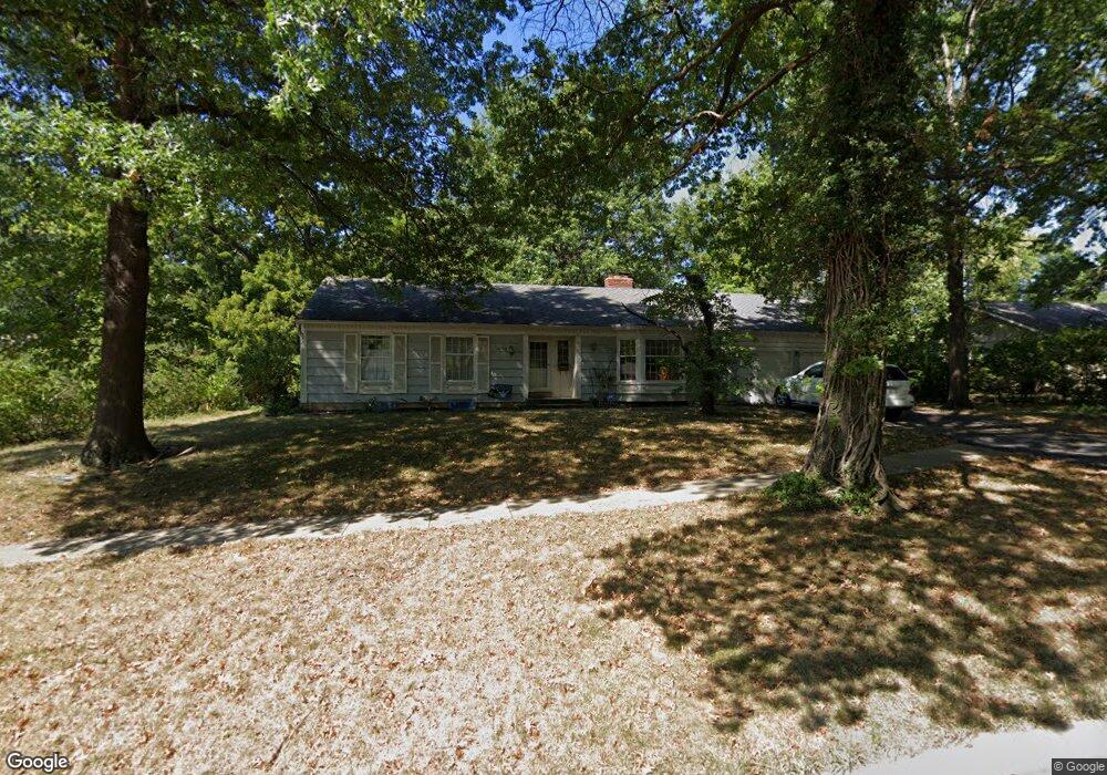
10130 Roe Ave Overland Park, KS 66207
Central Overland Park NeighborhoodEstimated Value: $390,000 - $415,000
3
Beds
2
Baths
1,454
Sq Ft
$274/Sq Ft
Est. Value
About This Home
This home is located at 10130 Roe Ave, Overland Park, KS 66207 and is currently estimated at $398,996, approximately $274 per square foot. 10130 Roe Ave is a home located in Johnson County with nearby schools including Trailwood Elementary School, Indian Woods Middle School, and Shawnee Mission South High School.
Ownership History
Date
Name
Owned For
Owner Type
Purchase Details
Closed on
Oct 22, 2007
Sold by
Buenger David K
Bought by
Paul Soumen and Ray Soma
Current Estimated Value
Home Financials for this Owner
Home Financials are based on the most recent Mortgage that was taken out on this home.
Original Mortgage
$42,500
Outstanding Balance
$19,439
Interest Rate
6.42%
Mortgage Type
Credit Line Revolving
Estimated Equity
$379,557
Purchase Details
Closed on
Mar 18, 2004
Sold by
Moore Hubert T and Moore Geraine A
Bought by
Buenger David K
Home Financials for this Owner
Home Financials are based on the most recent Mortgage that was taken out on this home.
Original Mortgage
$162,000
Interest Rate
5.71%
Mortgage Type
Purchase Money Mortgage
Create a Home Valuation Report for This Property
The Home Valuation Report is an in-depth analysis detailing your home's value as well as a comparison with similar homes in the area
Home Values in the Area
Average Home Value in this Area
Purchase History
| Date | Buyer | Sale Price | Title Company |
|---|---|---|---|
| Paul Soumen | -- | Kansas City Title | |
| Buenger David K | -- | Security Land Title Company |
Source: Public Records
Mortgage History
| Date | Status | Borrower | Loan Amount |
|---|---|---|---|
| Open | Paul Soumen | $42,500 | |
| Open | Paul Soumen | $127,500 | |
| Previous Owner | Buenger David K | $162,000 |
Source: Public Records
Tax History Compared to Growth
Tax History
| Year | Tax Paid | Tax Assessment Tax Assessment Total Assessment is a certain percentage of the fair market value that is determined by local assessors to be the total taxable value of land and additions on the property. | Land | Improvement |
|---|---|---|---|---|
| 2024 | $3,649 | $37,950 | $11,248 | $26,702 |
| 2023 | $3,832 | $39,157 | $10,221 | $28,936 |
| 2022 | $3,258 | $33,580 | $10,221 | $23,359 |
| 2021 | $2,918 | $28,589 | $8,510 | $20,079 |
| 2020 | $2,813 | $27,589 | $7,096 | $20,493 |
| 2019 | $2,605 | $25,588 | $5,067 | $20,521 |
| 2018 | $2,346 | $22,954 | $5,067 | $17,887 |
| 2017 | $2,437 | $23,460 | $5,067 | $18,393 |
| 2016 | $2,230 | $21,126 | $5,067 | $16,059 |
| 2015 | $2,142 | $20,712 | $5,067 | $15,645 |
| 2013 | -- | $18,665 | $5,067 | $13,598 |
Source: Public Records
Map
Nearby Homes
- 10200 Granada Ln
- 9943 Linden St
- 10240 Catalina St
- 10318 Alhambra St
- 9711 Roe Ave
- 5428 W 102nd St
- 9710 Catalina St
- 10310 Nall Ave
- 10207 Reeds Dr
- 4120 W 97th Terrace
- 3900 W 98th Terrace
- 5212 W 98th Terrace
- 10111 Howe Dr
- 5608 W 100th St
- 10408 Howe Ln
- 5507 W 98th Terrace
- 10400 Howe Dr
- 4924 W 96th St
- 9517 Linden St
- 5616 W 98th St
- 10140 Roe Ave
- 10120 Roe Ave
- 10127 Linden St
- 10131 Linden St
- 10200 Roe Ave
- 10121 Linden St
- 10135 Linden St
- 10131 Roe Ave
- 10121 Roe Ave
- 10137 Roe Ave
- 10201 Linden St
- 10100 Roe Ave
- 10201 Roe Ave
- 10208 Roe Ave
- 10207 Linden St
- 4611 W 101st Terrace
- 10205 Roe Ave
- 4620 W 101st Terrace
- 4712 W 101st Terrace
- 10212 Roe Ave