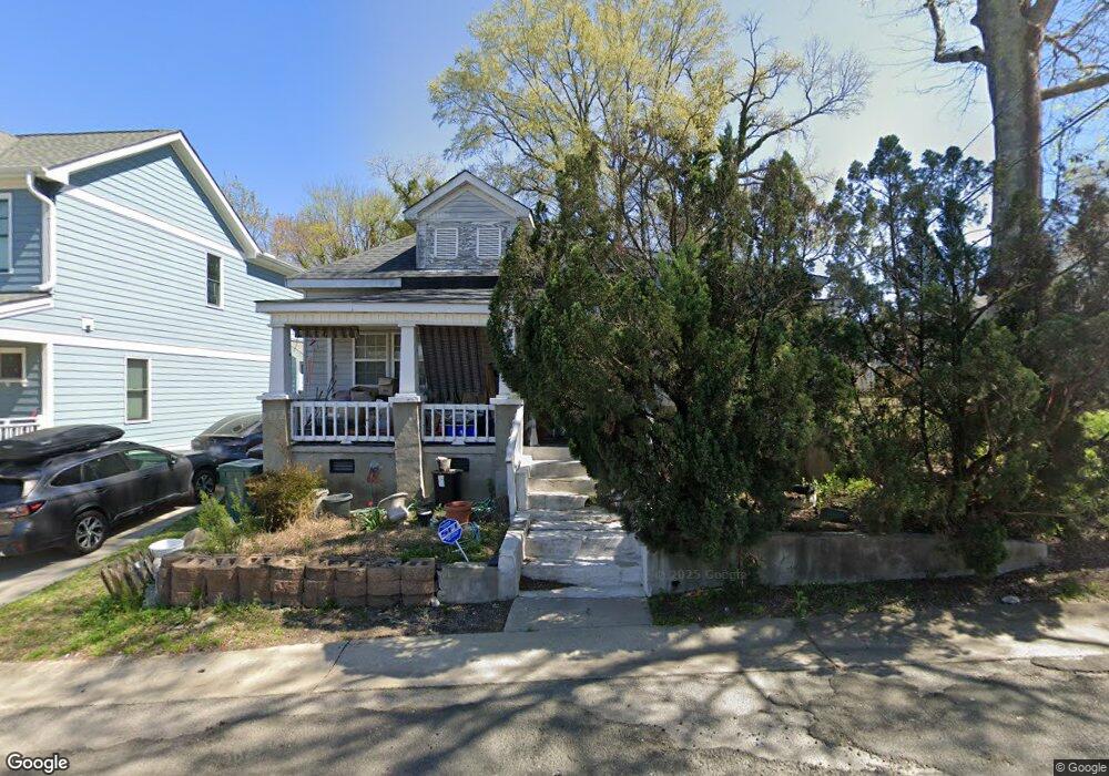
1014 Gurley St Durham, NC 27701
Central Park NeighborhoodEstimated Value: $321,000 - $401,000
3
Beds
2
Baths
1,215
Sq Ft
$301/Sq Ft
Est. Value
About This Home
This home is located at 1014 Gurley St, Durham, NC 27701 and is currently estimated at $365,301, approximately $300 per square foot. 1014 Gurley St is a home located in Durham County with nearby schools including George Watts Elementary, W.G. Pearson Elementary School, and Brogden Middle.
Ownership History
Date
Name
Owned For
Owner Type
Purchase Details
Closed on
Feb 19, 2020
Sold by
Mclendon Patricia T and Mclendon Leon
Bought by
Mclendon Patricia T and Mclendon Leon
Current Estimated Value
Home Financials for this Owner
Home Financials are based on the most recent Mortgage that was taken out on this home.
Original Mortgage
$333,000
Interest Rate
4.04%
Mortgage Type
FHA
Create a Home Valuation Report for This Property
The Home Valuation Report is an in-depth analysis detailing your home's value as well as a comparison with similar homes in the area
Home Values in the Area
Average Home Value in this Area
Purchase History
| Date | Buyer | Sale Price | Title Company |
|---|---|---|---|
| Mclendon Patricia T | -- | National Closing Solutions |
Source: Public Records
Mortgage History
| Date | Status | Borrower | Loan Amount |
|---|---|---|---|
| Closed | Mclendon Patricia T | $333,000 |
Source: Public Records
Tax History
| Year | Tax Paid | Tax Assessment Tax Assessment Total Assessment is a certain percentage of the fair market value that is determined by local assessors to be the total taxable value of land and additions on the property. | Land | Improvement |
|---|---|---|---|---|
| 2025 | $3,215 | $324,350 | $190,750 | $133,600 |
| 2024 | $2,609 | $187,018 | $76,580 | $110,438 |
| 2023 | $2,450 | $187,018 | $76,580 | $110,438 |
| 2022 | $2,394 | $187,018 | $76,580 | $110,438 |
| 2021 | $2,382 | $187,018 | $76,580 | $110,438 |
| 2020 | $2,326 | $187,018 | $76,580 | $110,438 |
| 2019 | $2,326 | $187,018 | $76,580 | $110,438 |
| 2018 | $2,312 | $170,438 | $35,555 | $134,883 |
| 2017 | $2,295 | $170,438 | $35,555 | $134,883 |
| 2016 | $2,218 | $170,438 | $35,555 | $134,883 |
| 2015 | $734 | $53,001 | $13,600 | $39,401 |
| 2014 | $734 | $53,001 | $13,600 | $39,401 |
Source: Public Records
Map
Nearby Homes
- 807 N Elizabeth St
- 314 Gray Ave
- 813 N Roxboro St
- 603 Lee St
- 1109 N Elizabeth St
- 605 Dowd St
- 620 N Roxboro St Unit 34
- 620 N Roxboro St Unit 44
- 314 Edward St
- 901 N Mangum St
- 106 Broadway St Unit 202
- 106 Broadway St Unit 106
- 106 Broadway St Unit 101
- 106 Broadway St Unit 207
- 206 W Corporation St
- 1007 Hazel St
- 823 Glendale Ave
- 524 N Mangum St Unit 2
- 528 N Roxboro St
- 521 N 16 N Mangum St Unit 16
- 1102 Gurley St
- 305 Wake Place
- 1104 Gurley St
- 216 E Corporation St
- 217 E Corporation St
- 306 Lyric St
- 306 Wake Place
- 1106 Gurley St
- 1006 Gurley St
- 309 Wake Place
- 309 Wake Place
- 1007 Gurley St
- 308 Lyric St
- 214 E Corporation St
- 308 Wake Place
- 215 E Corporation St
- 310 Lyric St
- 211 Corporation
- 211 E Corporation St
- 312 Wake Place
Your Personal Tour Guide
Ask me questions while you tour the home.