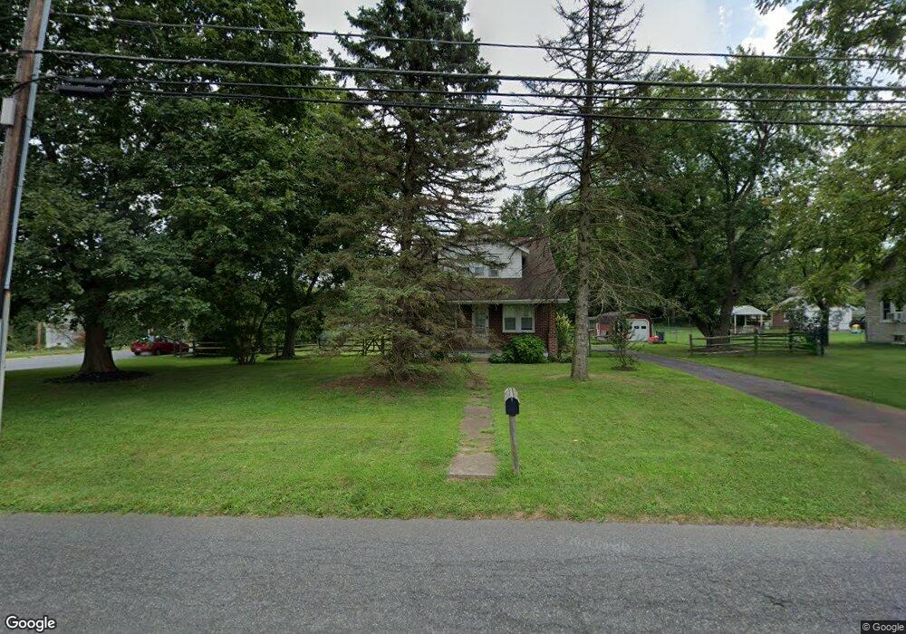
1014 S Keim St Pottstown, PA 19465
North Coventry NeighborhoodEstimated Value: $281,000 - $382,000
3
Beds
1
Bath
1,260
Sq Ft
$257/Sq Ft
Est. Value
About This Home
This home is located at 1014 S Keim St, Pottstown, PA 19465 and is currently estimated at $324,389, approximately $257 per square foot. 1014 S Keim St is a home located in Chester County with nearby schools including North Coventry Elementary School, Owen J Roberts Middle School, and Owen J Roberts High School.
Ownership History
Date
Name
Owned For
Owner Type
Purchase Details
Closed on
Aug 19, 1994
Sold by
Matz James A and Matz Mary E
Bought by
Vance Thomas N and Vance Mai Y
Current Estimated Value
Home Financials for this Owner
Home Financials are based on the most recent Mortgage that was taken out on this home.
Original Mortgage
$106,850
Interest Rate
8.65%
Create a Home Valuation Report for This Property
The Home Valuation Report is an in-depth analysis detailing your home's value as well as a comparison with similar homes in the area
Home Values in the Area
Average Home Value in this Area
Purchase History
| Date | Buyer | Sale Price | Title Company |
|---|---|---|---|
| Vance Thomas N | $112,500 | -- |
Source: Public Records
Mortgage History
| Date | Status | Borrower | Loan Amount |
|---|---|---|---|
| Closed | Vance Thomas N | $106,850 |
Source: Public Records
Tax History Compared to Growth
Tax History
| Year | Tax Paid | Tax Assessment Tax Assessment Total Assessment is a certain percentage of the fair market value that is determined by local assessors to be the total taxable value of land and additions on the property. | Land | Improvement |
|---|---|---|---|---|
| 2025 | $3,723 | $87,910 | $25,400 | $62,510 |
| 2024 | $3,723 | $87,910 | $25,400 | $62,510 |
| 2023 | $3,671 | $87,910 | $25,400 | $62,510 |
| 2022 | $3,596 | $87,910 | $25,400 | $62,510 |
| 2021 | $3,533 | $87,910 | $25,400 | $62,510 |
| 2020 | $3,444 | $87,910 | $25,400 | $62,510 |
| 2019 | $3,381 | $87,910 | $25,400 | $62,510 |
| 2018 | $3,290 | $87,910 | $25,400 | $62,510 |
| 2017 | $3,204 | $87,910 | $25,400 | $62,510 |
| 2016 | $2,548 | $87,910 | $25,400 | $62,510 |
| 2015 | $2,548 | $87,910 | $25,400 | $62,510 |
| 2014 | $2,548 | $87,910 | $25,400 | $62,510 |
Source: Public Records
Map
Nearby Homes
- 1025 Darby Ct
- 780 E Cedarville Rd
- 1027 Riverside Dr
- 1079 Riverside Dr
- 1111 Riverside Dr
- 1132 Wendler Cir
- 84 W Schuylkill Rd
- 28 Wil-Be Dr
- 614 Kline Ave
- 764 Queen St
- 847 South St Unit 93
- 428 South St
- 110 S Franklin St
- 277 Industrial Hwy
- 851 Queen St
- 383 W Cedarville Rd
- 123 W Main St
- 866 E High St
- 639 E High St
- 363 New St
- 1018 S Keim St
- 1022 Grandview Cir
- 1004 S Keim St
- 1022 S Keim St
- 1030 Grandview Cir
- 1026 Heather Ct
- 1025 Grandview Cir
- 1026 S Keim St
- 1000 S Keim St
- 1025 S Keim St
- 1033 Grandview Cir
- 1048 Grandview Cir
- 1030 S Keim St
- 1024 Heather Ct
- 1041 Grandview Cir
- 1029 S Keim St
- 996 S Keim St
- 1018 Heather Ct
- 1056 Grandview Cir
- 1022 Heather Ct