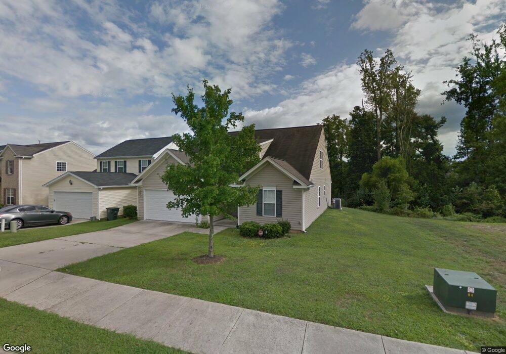
1015 Brushy Fork Dr Greensboro, NC 27406
Polecat Creek NeighborhoodEstimated Value: $296,000 - $333,000
4
Beds
3
Baths
2,031
Sq Ft
$156/Sq Ft
Est. Value
About This Home
This home is located at 1015 Brushy Fork Dr, Greensboro, NC 27406 and is currently estimated at $317,829, approximately $156 per square foot. 1015 Brushy Fork Dr is a home located in Guilford County with nearby schools including Sumner Elementary School, Southern Guilford Middle, and Southern Guilford High School.
Ownership History
Date
Name
Owned For
Owner Type
Purchase Details
Closed on
May 26, 2006
Sold by
The Ryland Group Inc
Bought by
Howell Veda D
Current Estimated Value
Home Financials for this Owner
Home Financials are based on the most recent Mortgage that was taken out on this home.
Original Mortgage
$156,389
Outstanding Balance
$91,118
Interest Rate
6.41%
Mortgage Type
Purchase Money Mortgage
Estimated Equity
$226,711
Create a Home Valuation Report for This Property
The Home Valuation Report is an in-depth analysis detailing your home's value as well as a comparison with similar homes in the area
Home Values in the Area
Average Home Value in this Area
Purchase History
| Date | Buyer | Sale Price | Title Company |
|---|---|---|---|
| Howell Veda D | $174,000 | None Available |
Source: Public Records
Mortgage History
| Date | Status | Borrower | Loan Amount |
|---|---|---|---|
| Open | Howell Veda D | $156,389 |
Source: Public Records
Tax History Compared to Growth
Tax History
| Year | Tax Paid | Tax Assessment Tax Assessment Total Assessment is a certain percentage of the fair market value that is determined by local assessors to be the total taxable value of land and additions on the property. | Land | Improvement |
|---|---|---|---|---|
| 2025 | $3,115 | $222,000 | $57,000 | $165,000 |
| 2024 | $3,115 | $222,000 | $57,000 | $165,000 |
| 2023 | $3,115 | $222,000 | $57,000 | $165,000 |
| 2022 | $3,026 | $222,000 | $57,000 | $165,000 |
| 2021 | $2,066 | $148,300 | $23,000 | $125,300 |
| 2020 | $2,066 | $148,300 | $23,000 | $125,300 |
| 2019 | $2,066 | $148,300 | $0 | $0 |
| 2018 | $2,007 | $148,300 | $0 | $0 |
| 2017 | $2,007 | $148,300 | $0 | $0 |
| 2016 | $1,975 | $142,700 | $0 | $0 |
| 2015 | $1,987 | $142,700 | $0 | $0 |
| 2014 | $2,001 | $142,700 | $0 | $0 |
Source: Public Records
Map
Nearby Homes
- 4908 Peppercorn Ln
- 4404 Tyndale Ct
- 1916 Penley Trail
- 1912 Penley Trail
- 1914 Penley Trail
- 1902 Penley Trail
- 1908 Penley Trail
- 1918 Penley Trail
- Dayton Plan at Avondale
- Vermont Plan at Avondale
- Fairfield Plan at Avondale
- Irvine Plan at Avondale
- Greensboro Plan at Avondale
- Southport Plan at Avondale
- Freeport Plan at Avondale
- Jamestown Plan at Avondale
- Burlington Plan at Avondale
- Kendall Plan at Avondale
- Ellerbe Plan at Avondale
- 2132 Penley Trail
- 1013 Brushy Fork Dr
- 1011 Brushy Fork Dr
- 1009 Brushy Fork Dr
- 1014 Brushy Fork Dr
- 1007 Brushy Fork Dr
- 1012 Brushy Fork Dr
- 1100 Brushy Fork Dr
- 1010 Brushy Fork Dr
- 1102 Brushy Fork Dr
- 4509 Gray Wolf Way
- 1008 Brushy Fork Dr
- 1205 Brushy Fork Dr
- 1006 Brushy Fork Dr
- 1207 Brushy Fork Dr
- 1004 Brushy Fork Dr
- 919 Thorncroft Rd
- 912 Wild Wolf Dr
- 910 Wild Wolf Dr
- 917 Thorncroft Rd
- 1001 Thorncroft Rd