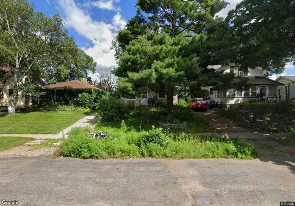
1015 Hubbard Ave Saint Paul, MN 55104
Frogtown NeighborhoodEstimated Value: $168,000 - $225,000
2
Beds
1
Bath
800
Sq Ft
$256/Sq Ft
Est. Value
About This Home
This home is located at 1015 Hubbard Ave, Saint Paul, MN 55104 and is currently estimated at $205,198, approximately $256 per square foot. 1015 Hubbard Ave is a home located in Ramsey County with nearby schools including Maxfield Magnet Elementary School, Hidden River Middle School, and Central Senior High School.
Ownership History
Date
Name
Owned For
Owner Type
Purchase Details
Closed on
Jun 30, 2021
Sold by
Lamson Lola Kathryn
Bought by
Lamson Lola Kathryn and Jones Matt
Current Estimated Value
Home Financials for this Owner
Home Financials are based on the most recent Mortgage that was taken out on this home.
Original Mortgage
$116,500
Outstanding Balance
$105,379
Interest Rate
2.7%
Mortgage Type
New Conventional
Estimated Equity
$99,819
Purchase Details
Closed on
Jun 11, 2012
Sold by
University National Bank
Bought by
Lamson Lola Kathryn
Purchase Details
Closed on
Mar 11, 2002
Sold by
Walker Richard L and Walker Larry G
Bought by
Walker Roger W and Walker Arlene K
Create a Home Valuation Report for This Property
The Home Valuation Report is an in-depth analysis detailing your home's value as well as a comparison with similar homes in the area
Home Values in the Area
Average Home Value in this Area
Purchase History
| Date | Buyer | Sale Price | Title Company |
|---|---|---|---|
| Lamson Lola Kathryn | -- | None Available | |
| Lamson Lola Kathryn | $63,000 | -- | |
| Walker Roger W | $60,000 | -- |
Source: Public Records
Mortgage History
| Date | Status | Borrower | Loan Amount |
|---|---|---|---|
| Open | Lamson Lola Kathryn | $116,500 |
Source: Public Records
Tax History Compared to Growth
Tax History
| Year | Tax Paid | Tax Assessment Tax Assessment Total Assessment is a certain percentage of the fair market value that is determined by local assessors to be the total taxable value of land and additions on the property. | Land | Improvement |
|---|---|---|---|---|
| 2025 | $3,572 | $196,200 | $25,000 | $171,200 |
| 2023 | $3,572 | $203,500 | $20,000 | $183,500 |
| 2022 | $3,154 | $212,400 | $20,000 | $192,400 |
| 2021 | $2,862 | $176,900 | $20,000 | $156,900 |
| 2020 | $2,778 | $157,900 | $11,200 | $146,700 |
| 2019 | $2,700 | $143,800 | $11,200 | $132,600 |
| 2018 | $1,596 | $143,200 | $11,200 | $132,000 |
| 2017 | $1,438 | $110,600 | $11,200 | $99,400 |
| 2016 | $1,580 | $0 | $0 | $0 |
| 2015 | $1,278 | $103,500 | $11,200 | $92,300 |
| 2014 | $1,360 | $0 | $0 | $0 |
Source: Public Records
Map
Nearby Homes
- 1030 Englewood Ave
- 999 Minnehaha Ave W
- 951 Front Ave
- 687 Lexington Pkwy N
- 895 Front Ave
- 1039 Argyle St
- 989 Barrett St
- 1056 Lexington Pkwy N
- 1174 Lafond Ave
- 1083 Chatsworth St N
- 1215 Lafond Ave
- 1282 Hewitt Ave
- 885 Edmund Ave
- 1094 Argyle St
- 1084 Ryde St
- 1294 Hubbard Ave
- 1292 Taylor Ave W
- 751 Van Buren Ave
- 1258 Blair Ave
- 1135 Charles Ave
- 1011 Hubbard Ave
- 1019 Hubbard Ave
- 1005 Hubbard Ave
- 1021 Hubbard Ave
- 1001 Hubbard Ave
- 1027 Hubbard Ave
- 999 Hubbard Ave
- 1033 Hubbard Ave
- 1016 Hubbard Ave
- 1020 Hubbard Ave
- 1006 Hubbard Ave
- 993 Hubbard Ave
- 1026 Hubbard Ave
- 1037 Hubbard Ave
- 1030 Hubbard Ave
- 996 Hubbard Ave
- 1034 Hubbard Ave
- 983 Hubbard Ave
- 988 Hubbard Ave
- 1036 Hubbard Ave